IBGE is present in geotechnologies fair in São Paulo


June 17, 2026 02h39 PM | Last Updated: June 25, 2026 12h03 PM
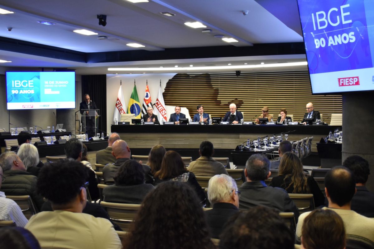
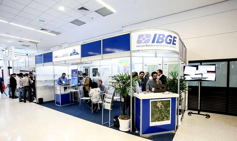
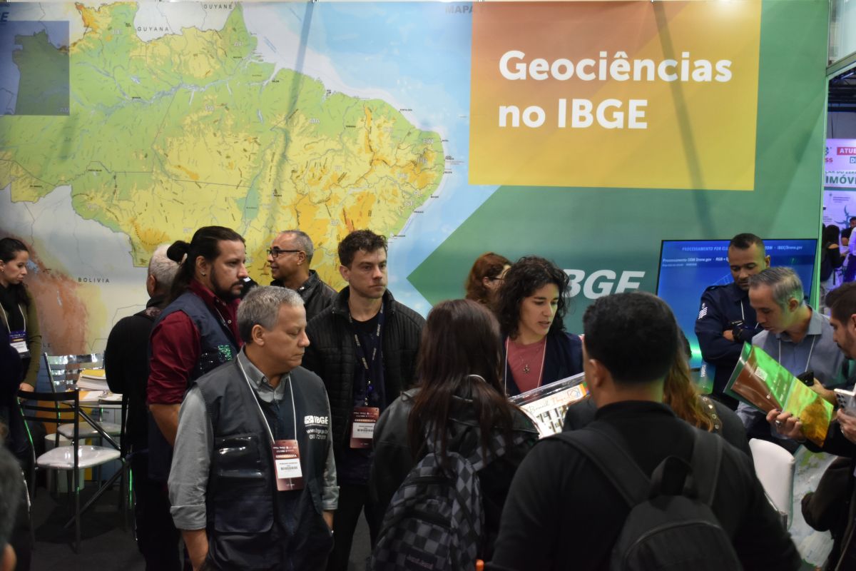
The Brazilian Institute of Geography and Statistics (IBGE), which celebrates 90 years in 2026, is participating in MundoGEO Connect 2026, one of the main geotechnology fairs in Latin America. The event began this Tuesday (16), at Expo Center Norte, in São Paulo (SP), and continues until Thursday (18).
Bringing together companies, universities, government and investors, the fair represents a unique moment for the Institute. As Marcelo Maranhão, technical advisor for Geosciences at the IBGE, highlighted, “this is when we have the opportunity to interact with experts from several areas that interest us, who tell us the latest developments in the market regarding technologies and, at the same time, give us feedback, validating our work.”
The Coordinator of the IBGE Center for Information Documentation and Dissemination (CDDI) and Social Communication, José Daniel Castro, during a visit to the stand, highlighted that the innovation this year aims to facilitate broad access to the Institute's data, through renewed content on the interactive totem, panels and videos.
Leandro Albertini, Deputy General Coordinator of the CDDI, is one of those leading the guidance on the use of the totem, with this content facilitated. “Digital tools like this always attract the attention of students, teachers, technicians and others,” told him.
An example of this is the geography teacher and employee of the company “Reservas Votorantim,” Felipe Dawson, who emphasized using data from the Population Census in his work. And he added: “Furthermore, as a teacher, I am always highlighting the importance of the IBGE for understanding our territory.”
Beatriz Monique, a colleague from the same company as Dawson, was visiting the fair for the first time. She made a point of highlighting that she had great expectations regarding the new Census of Agriculture, Forestry and Aquaculture. “I want to follow the IBGE, because for me, for my studies, it is very important,” highlighted her.
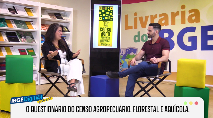
Speaking about the news at the stand, Vania de Oliveira Nagem, Manager of Information Dissemination at the DGC, pointed out as an example the presentation of videos about the Aquaculture. In them the stages of the major census operation that will be carried out in 2027 and the use of geotechnologies to support fieldwork are explained.
Still on the material from the 12th Census of Agriculture, Forestry and Aquaculture at the stand, Marta Franco, from IBGE's Division of Environment, highlighted that visitors will be able to access information about the steps already taken and those to come, including seeing what the questionnaire to be applied will be like.
Present at the event, Fábio Lobo, from the Division of Geosciences of the IBGE State Superintendency of Ceará, recalled the training carried out at the IBGE´s RECOR Reserve for the use of drones. But, in relation to the Census of Agriculture, he said that, based on the information he had, there was no plan to use this resource in the operation.
The use of drones for cartographic works was mentioned by Fernando Barroso, from the IBGE Division of Cartography (CCAR). He gave as an example the demand from the Federal Supreme Court (STF) to survey the border area between Bahia and Minas Gerais. “We delivered the results to the representatives of each state and they resolved it politically,” he recalled.
The coordinator of Territorial Structures at the IBGE, Roberto Tavares, highlighted that the use of drones in works related to the definition and updating of territorial limits has been expanded by the Institute. According to him, the results obtained have been positive and part of these experiences are being presented to the public during the fair. “We are showing how this technology has contributed to the IBGE’s work through videos, explanatory materials and interactive resources available at the stand,” stated him.
During the event, teams from the Geosciences area show products, services and systems that support different applications in the sector. For the IBGE´s Manager of Vertical Reference Networks, Jéssica Siqueira, the participation in the fair highlights how the IBGE geodetic data is present in various technological solutions exhibited at the event. “Most technologies shown here depend, in some way, on geodetic references produced by the IBGE. Positioning systems, drones and surveying equipment use our bases and reference networks to guarantee precision and reliability of the results,” highlighted her.
The Manager of Planialtimetric Reference Networks, Guiderlan Mantovani, in turn, drew attention to the scope and gratuitousness of the services offered by the Institute. According to him, the interest in the work carried out by the Institute goes beyond national borders. “We receive visitors from different countries interested in understanding how our services work. They are often surprised to discover that information and tools widely used by the market are made available free of charge by the IBGE,” stated him.


Among the new panels, the service's on-line application for post-processing GNSS* data - PPP - was a hit among the participants. Erick Santos, Manager of Geoprocessing at Strata Engenharia, said that he uses the available corrections daily. “Without this, we would be left in the lurch,” assured him. His colleague João Pedro Marques stressed that in every new work of the company, validation with the PPP cannot be missing: “without the IBGE application we are nothing.”
Another new feature at the stand is the mural with QR codes, which also aims to facilitate access to the several IBGE databases. According to Ludolf da Mota, from CCAR, with a cell phone it is possible to reach them without having to search the portal. “It’s simpler for a student, for example,” commented him. Several students from schools and universities visited the stand to see the totem and obtain kits with promotional materials.
IBGE channel on WhatsApp
Join the official IBGE channel on WhatsApp and stay up to date with all the IBGE information. Access here!