RBMC
New application helps users obtain data in a personalized way


June 28, 2022 10h00 AM | Last Updated: June 29, 2022 12h37 PM
Highlights
- Data from the Brazilian Network for Continuous Monitoring of the GNSS Systems (RBMC) can be obtained in a personalized way through a new web application.
- Customization may occur according to the user's preferred format, collection interval and constellations (GPS, GPS+GLONASS or multiconstellation).
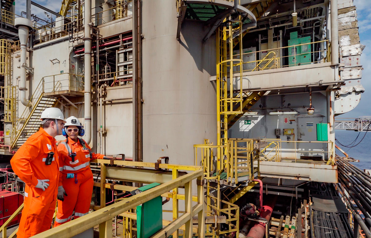
- IBGE operates 146 stations for continuous monitoring of the global positioning system by satellites.
- Data are essential for carrying out infrastructure works, climate studies, georeferencing properties, power generation and transmission, precision agriculture, land demarcation, among others.
- Data from all stations are freely accessible and can be downloaded from the IBGE website.
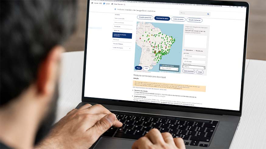
This Tuesday (June 28th), the IBGE publishes the page for personalized download of data from the Brazilian Network for Continuous Monitoring of the GNSS Systems (RBMC). The tool will facilitate access to data tracked at RBMC's 146 geodetic stations spread across Brazil. The personalized search generated by the application will help users to perform their professional tasks, improving quality and efficiency in obtaining results.
Nearly 350 thousand downloads are carried out monthly in those stations, with state capitals being the most searched by users. Information customization can occur according to the type of survey, the users’ preferred format (RINEX2 or RINEX3), the collection interval (01, 05, 15 or 30 seconds) and the constellations (GPS, GPS+GLONASS or multi-constellations).
Format
As a result of the web application, data will be made available in two formats: RINEX2 and RINEX3. RINEX2 allows the use of three constellations (GPS, GLONASS and Galileo), whereas RINEX3 provides for the use of four constellations, the ones previously mentioned together with Beidou. “Users cans obtain an accurate position within a shorter time, or even in real time, depending on the capabilities of the equipment to carry out the survey”, explains the IBGE Geodesy manager, Sonia Costa, highlighting the friendly use of the personalized page.
Collection intervals
Collection intervals can also be customized. Users can work in a more flexible way in the field reducing the survey time. The manager of Planialtimetric Networks of the IBGE Directorate of Geosciences, Guiderlan Mantovani, emphasized that files with 1-sec intervals, as they generate data at a greater frequency, are divided in different files of 15 minutes. The customization will change that. “The page gathers those files generating a single file for users to download at any interval chosen, with no need for editions with specific softwares”, clarifies Guiderlan.
Search for information at one-second intervals has increases 35% between 2021 and 2022. Before that, those data were not made available by the IBGE website, being storage just in the online repository of the institution. Users could not easily access those data, but with the new page they will be able to use them in a more friendly way.
RBMC marked a new era in precision positioning in Brazil
A new era in precision positioning in the country was achieved with the implementation of the RBMC of the GNSS Systems. Since the beginning of its installation, in December 1996, the IBGE adopted the concept of active geodetic station, which is both a reference in coordinates for the official framework of the country and a repository od GNSS data made available to the public. Thus, the IBGE has been enhancing the network by means of new partnerships and monitoring the technological evolution of the GNSS with multi-constellation equipment and in the service for real time positioning.
What are GNSS data?
The GNSS system is used to generate coordinates by means of satellite navigation and positioning within a set of the main constellations; the American navigation system (GPS), as well as the Russian (GLONASS), the European (Galileo) and the Chinese one (Beidou) can provide users with centimeter precision. They can be used by professionals in technical georeferencing, rural and urban real estate register, environmental register, etc, as well as serve as a data source for several geoscientific research globally.
Data and reports from all RBMC stations are public and can be accessed daily on RBMC of the GNSS Systems and on IBGE’s online repository server Information on geodetic positioning. On the same addresses, records of Geodetic Permanent Tide Gauge Network (RPMG) are found.