Geociências
IBGE does more than 580 attendances at MundoGEO Connect 2026


June 19, 2026 12h01 PM | Last Updated: June 30, 2026 03h43 PM
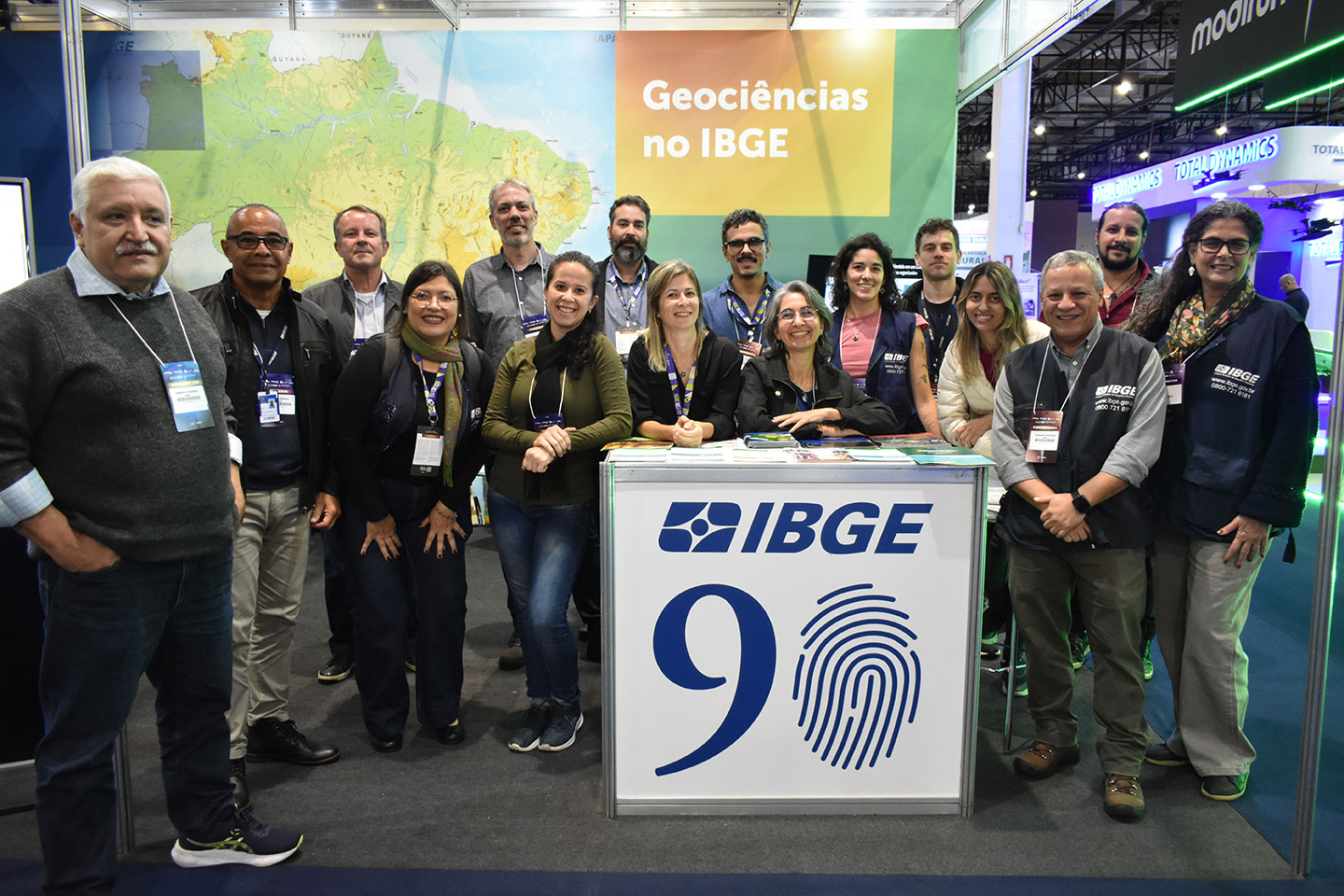
The Brazilian Institute of Geography and Statistics (IBGE) carried out more than 580 attendances during MundoGEO Connect 2026, one of the major geotechnologies fair in Latin America. The event took place between June 16 and 18, at Expo Center Norte, in São Paulo (SP).
Throughout the three days of the program, the IBGE stand hosted entrepreneurs, researchers, students, representatives from governmental offices, members of the Armed Forces and foreign delegations.
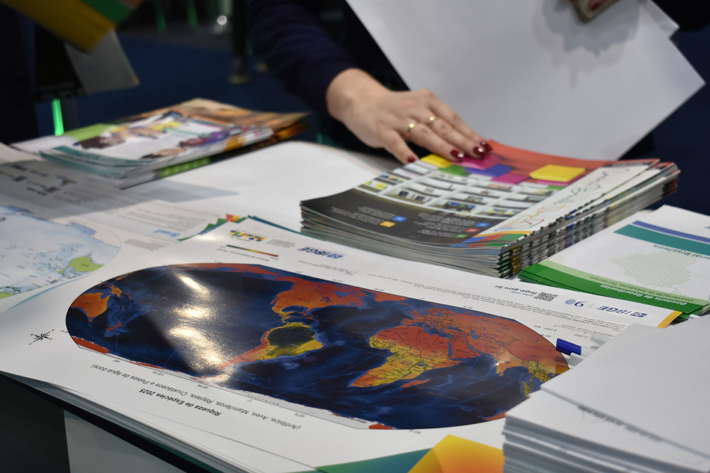
The team in charge of the attendances gathered more than 30 officials from Rio de Janeiro, São Paulo, Santa Catarina and Ceará, who showed IBGE products and services and clarified questions from visitors on geographic, cartographic and statistial information. More than 1,500 publications produced by the Institute were distributed during the event, highlighted by materials in the areas of Cartography, Geography and Natural Resources.
Among the themes that attracted more interest from the public were applications of IBGE geospatial data in drone operations. Jéssica Siqueira, manager of Vertical Reference Networks at the IBGE, highlighted that the fair provided an opportunity for exchanging experiences with professionals who use these technologies on a daily basis. “Many questions were related to the use of conversion models of heights in operations with drones and to the integration of this information with the software used by the sector. It was an important opportunity to clarify technical questions and exchange experiences," stated her.
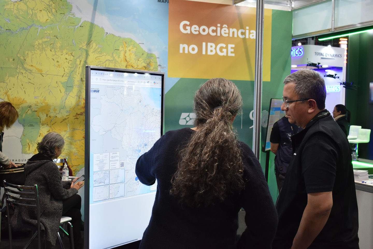
Another highlight in the stand was the interactive totem available for consultation to the IBGE platforms. According to Guiderlan Mantovani, manager of Planialtimetric Reference Networks, the tool streamlined the access of visitors to products and services offered by the IBGE. “The totem was very welcomed and streamlined the navigation through the Institute´s platforms. It helped the presentation of databases like the Environmental Information Database (BDIA) and the Interactive Geographic Platform (PGI),” explained him.
For Fernando Barroso, from the Division of Cartography (CCAR), the heavy traffic in the stand shows the increasing interest of society for data produced by the Institute. “The fair was an important opportunity to show how the information produced by the IBGE supports activities developed by companies, public institutions and researchers. They were three days talking and getting closer to users who use our data in differents areas of activity," assessed him.