bdia
IBGE updates Environmental Information Database of Brazil (BDiA)


December 15, 2025 10h00 AM | Last Updated: December 15, 2025 04h52 PM
Highlights
- IBGE launches new version of the Brazilian Environmental Information Database (BDiA). The product contains the Brazilian thematic natural resource bases on a 1:250,000 scale.
- New version of the BDiA integrates population data from the 2022 Census into the Statistical Grid and updates geographies, expanding environmental and population analyses.
- The BDiA Statistical Grid now allows you to cross-reference environmental data with population information from the 2010 and 2022 Censuses, offering integrated analyses on territory and occupation.
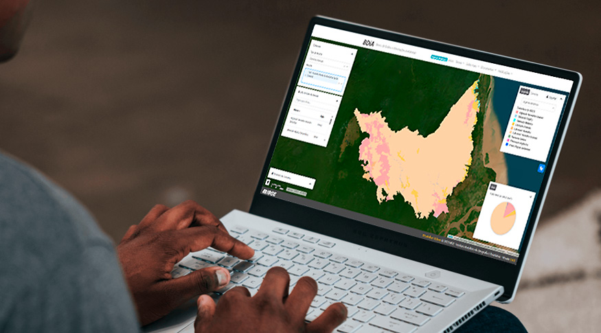
The Brazilian Institute of Geography and Statistics (IBGE) makes available, starting today (9), the update of the Environmental Database and Information (BDiA), which brings together the collection of thematic bases on Brazil's natural resources at a scale of 1:250,000.The platform expands access to environmental information by allowing browse topics such as Geology, Geomorphology, Pedology and Vegetation, spatial queries by states, municipalities, biomes and hydrographic basins, and also offer search by mapping units, export of data in several formats and a dictionary of concepts. The BDiA can be accessed here.
Among the platform's main new features are the updating and insertion of geographies, in addition to the integration of demographic information into the Environmental Data Statistical Grid. The changes also include the updating of the Biomes and Coastal-Marine System geographies of Brazil - 2025, the inclusion of Domains and Terrestrial Natural Areas of the Biomes of Brazil, population and population density data from the 2022 Population Census, and information on occupied households from the 2010 and 2022 Population Censuses.
“The inclusion of population data from the 2022 Census, with information on population and households and the possibility of comparison with the 2010 Census, significantly expands the potential for integration between environment and demography,” says Luis Henrique Rocha Guimarães, advisor to the IBGE Coordination of Environment.
The Environmental Data Statistical Grid also makes up the BDiA and is part of the Experimental Geoscientific Investigations, available in a specific module on the platform. In this environment, users can consult information on different topics in natural resource mapping, in addition to other IBGE products. The adoption of the grid system allows the integration of environmental data between different themes and enables the generation of statistics that support analyzes on the distribution of natural resources in Brazil.
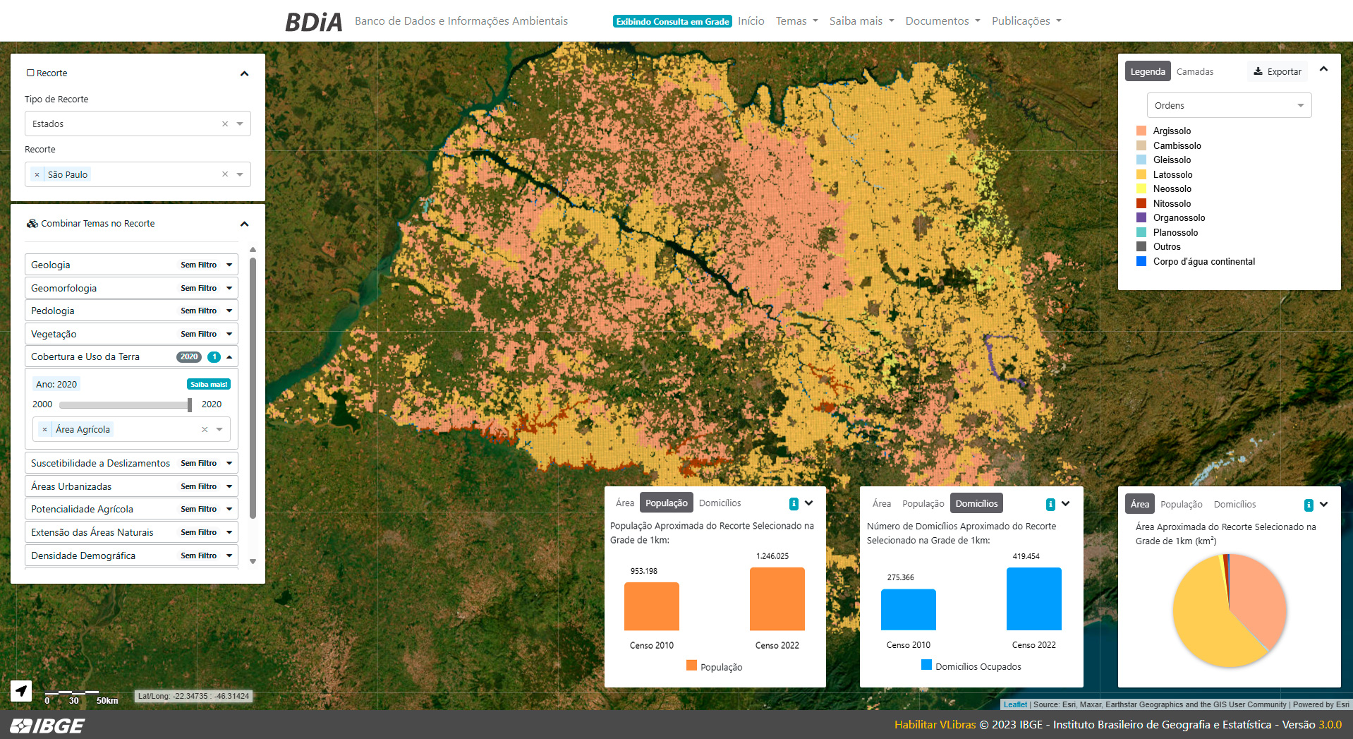
The geospatial data relating to the review of Brazil's Biomes and their natural divisions (the so-called Natural Domains and Regions) are now available as new sections in all themes (Geology, Geomorphology, Soils and Vegetation), and have been incorporated into the Statistical Environmental Data Grid, allowing integrated consultation with the other geoinformation that makes up the Grid.
“The integration made possible by the Statistical Grid allows the crossing of information from different themes and geographies that were previously incompatible, enabling more complete diagnoses on a given territory. By combining geology, geomorphology, soil and vegetation data with population information, it becomes possible to understand not only the physical composition of space, but also how it is occupied and transformed. This integrated approach offers more solid support for territorial planning, the efficient management of natural resources and the formulation of more appropriate socio-environmental policies, especially in vulnerable areas or areas subject to environmental and population pressures,” explains Guimarães.
In this new version, the platform also counts on population and population density data from the 2022 Census, and the incorporation of information on occupied households from the 2010 and 2022 Censuses, allowing temporal comparison in any selected geography or environmental filter. In addition to these improvements, there were also technical adjustments to optimize the platform's performance and increase the speed of loading maps and graphics.
The updated bases are now available at the official address of the BDiA . For more details about this Platform, check out the IBGE Portal.
In addition to statistical data, users can also consult and download some of the geographies of the BDiA on the Geographic Framework page and on the Interactive Geographic Platform (PGI).