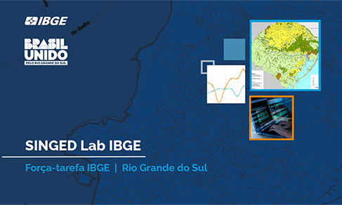
SINGED Lab
IBGE offers SINGED-Lab training for 210 managers to help municipalities in Rio Grande do Sul


June 14, 2024 02h00 PM | Last Updated: June 17, 2024 11h05 PM

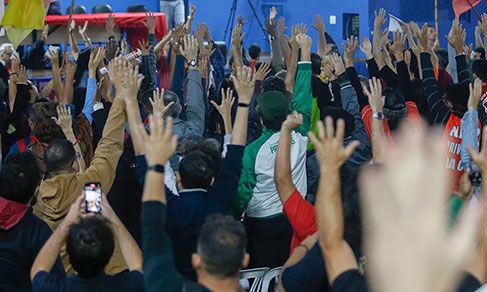
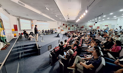
In one of the actions of the task force created by the Brazilian Institute of Geography and Statistics (IBGE) to assist in the reconstruction of cities hit by floods in the state of Rio Grande do Sul, more than 200 managers, students, teachers, independent professionals, members of civil society organizations and municipal and state public agents participated in the two SINGED Lab online training classes, held on the 3rd and 7th of June.
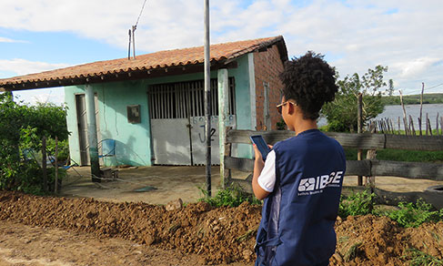
A total of 156 participants from 58 municipalities in Rio Grande do Sul (see the map) received training to use IBGE tools in the reconstruction of the state and mitigation of the damage done by the climate disasters that hit the place, so as to provide faster help in a more precise in the diagnosis, planning and recovery of the affected areas. Besides public managers from Rio Grande do Sul, the training received participants from other 16 Brazilian states. The diverse audience was formed by state and municipal administrators working in a number of fields, foundations, universities, city councils, community councils and municipal coordinators, research institutes and agencies that produce state and municipal data, civil servants from ministries and assistants and administrators in the municipal government sphere from more than 28 cities.

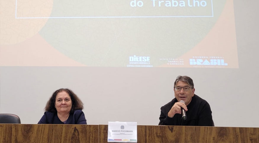
In his opening speech, the president of the IBGE, Marcio Pochmann, explained that the task force “intends to improve access to the assortment of information made available by the IBGE. The IBGE’s board of directors sees an opportunity for the reconstruction of Rio Grande do Sul, especially of the greatly flooded areas, in a rational and planned way, with evidences observed by means of studies, surveys and maps, thousands of municipal and state data that allow us to work more accurately, consistently and focused on the specificities of each municipality affected.”

The workshop was mediated by Daniel Castro, coordinator general of the Center for Information Documentation and Dissemination and of the IBGE’s Coordination of Social (CDDI/CCS), who stated the purpose of this training is to “help in every way possible, with accurate information that can serve in the diagnosis of problems, and in the planning for the reconstruction of Rio Grande do Sul”.
Rodrigo Almeida, manager of the Innovation and Development division within the Online Services and Experience Department (CEON), presented the main functionalities of the IBGE website, such as the main socioeconomic indicators, the news produced by the IBGE News Agency about cities and states in Brazil, as it is the case of Porto Alegre. “In this section there are basic data about the Brazilian municipalities, such as area and population, but in the Cities portal we can find much more detailed information, and other indicators.”
Rodrigo Almeida also showed some Census data for public administrators, according to the topics available, tables, concepts and methods. “We have the National Address List for Statistical Purposes (CNEFE) produced by enumerators and that can be useful for us to know where some houses hit by the floor were located before the disaster.”
Following his talk, Danilo Jesus, from the same Department (CEON), mentioned points in the Brazilian Network for Continuous Monitoring of the GNSS Systems in real time, presenting forms of access to the product, tools for access and download and subscription of services, and a tutorial for PPP (Precise Point Positioning) in real time. “These PPP services are used in the monitoring with drones to help in the rescue actions in those areas. In the past, they were also useful in Other catastrophes, as in Brumadinho, to delimitate the areas affected with a good rate of success,” said Danilo Jesus, who also presented the Geodetic Database (BDG), a group of information about reference stations that form the Brazilian Geodetic System (SGB), in effect since 1939.

The APIs (Application Programming Interface) of services such as aggregated data, Geodetic Database, calendar, CNAE (National Classification of Economic Activities), localities and geographic grids were presented by Felipe Barrreiro, also a member of CEON. “With these tools, we can obtain data in a more visual way, and more practical, programmed way,” Barreiro explained.
The technical team also presented the Overview, a website with the main data about Brazilian municipalities, and BdiA (Environmental Information Data), a tool that can be used by public administrators and other interested parties to research information about different topics of mapping of natural resources, besides other IBGE products, such as monitoring of land coverage and use. As examples, the team showed data from the municipalities of Porto Alegre, Caxias do Sul and Venâncio Aires.
In the end of the SINGED Lab, Sônia Zanutto, civil servant from the IBGE superintendency in Rio Grande do Sul gave a specific workshop about the System of Automatic Retrieval (SIDRA), showing an overview of the tables that use data from IBGE surveys. According to Sônia, “the training was very useful for whoever needs to understand how to search the huge amount of information and the systems for data retrieval on the IBGE website, freely and online, 24 hours a day."
Miguel Zanona, one of the 210 participants, said "the training was interesting because we got to know options and availability of access to the platform, as we can make use of information made available for our work, for example, diagnoses and environmental surveys."

The two training sessions started at 8am and ended at noon, having been broadcast on the Webex platform, and the participants that watched more than 50% of the training on the platform will receive certificates. At the end, questions and doubts were sent by means of the SINGED form and the lecturers answered the questions.
SINGED Lab
SINGED Lab is the IBGE's virtual lab for innovation, which is intended to improve access to information that the Institute provides and work with all the bodies that can help face problems caused by floods in Rio Grande do Sul. It is intended to create an environment for experimentation, generation of ideas and products for the diagnosis and planning of public policies, by means of the use of technology and the vast assortment of data in SINGED. Some of the tools that form the SINGED Lab are Cities IBGE, census Overview, the Interactive Geographic Platform (PGI), the System of Automatic Retrieval (SIDRA) and the Map Portal.