Expedition to Jalapão
From the first expeditions to the capture of coordinates, 90 years of field survey and work to portray the Brazilian territory
January 30, 2024 06h00 PM | Last Updated: February 02, 2024 03h52 PM

The IBGE wants to restore the scenario of its large expeditions in the release of the Geographical Coordinates of Census' Addresses, which will take place on February 2nd, at 10 am, in the city of Ponte Alta do Tocantins - a gateway to Parque do Jalapão. The aim is to revive the historical IBGE expeditions that took place between the 1940s and 1960s and that created the bases for Brazilian territorial mapping by the Institute.
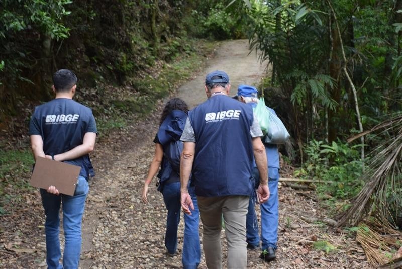
The IBGE Expedition to Jalapão Tocantins will leave on Febriary the 1st, from Praça dos Girassóis, in the city of Palmas, at 2 pm, heading to the municipality of Ponte Alta do Tocantins. The expedition team includes the president of IBGE, Marcio Pochmann, IBGE directors, managers and technicians, representatives of public bodies from the municipal, state and federal governments, and several other partners and institutions.
The arrival at Ponte Alta is expected to take place on February the 2nd, when the geographic coordinates of the addresses of all households and establishments visited in the 2022 Census collection operation will be released. The capture of these coordinates for all addresses in the country, including urban areas, was one of the innovations of the 2022 Population Census, resulting in an unprecedented 100% georeferenced address list.
This innovation, in addition to providing a complete overview of the territorial coverage of the collection carried out by the IBGE, allows statistical data to be spatialized more precisely over the territory, aggregating them in the most diverse geographic areas. It is also the ultimate goal of the territorial mapping activity, which was only possible through the pioneering work of expeditions carried out by IBGE technicians from the 1940s onwards.
“The expeditions lasted three decades and were the first initiatives of the National Geography Council, which preceded the IBGE, to recognize the national territory. Previously, other types of exploratory expeditions had been carried out, such as naturalist and botanical expeditions in the 19th century. But the geographical expeditions were the first ones to map the national territory with the aim of integrating it and served as training for the first generations of IBGE geographers”, says Cayo de Oliveira Franco, Geography coordinator of the IBGE Directorate of Geosciences.
Adma Hamam de Figueiredo, manager of IBGE's Atlas and Territory Representation, says that there were important foreign consultants in the country, such as the German expert, Leo Waibel and the Frenchman expert, Francis Ruellan, who was a professor and brought Pedro Geiger, a great IBGE geographer, to work at the Institution. Ms. Hamam explains that expeditions at that time were called fieldwork, which represents the instrumental heart of geographic sciences.
“The expeditions were fundamental in the great contribution of Geography raising awareness of the country’s territorial reality. It was the end of the 1930s and beginning of the 1940s, when geography became institutionalized as a science in universities and at the IBGE, with great contributions from Pedro Geiger, Jorge Zarur, Orlando Valverde, Nilo Bernardes, among others. At the end of the 1970s - when they were no longer called expeditions, but fieldwork that lasted about a month -, the Department of Geography, among other projects, studied the beginning of agricultural mechanization work in western Paraná ”, says Ms. Hamam.
The area of Geography began its expeditions in the early 1940s, due to government demands for the study of territorial occupation processes, via mechanisms of colonization and macro-regionalization (division of Brazil into Major Regions). Between 1941 and 1968, the period covered by data from the photographic collection of IBGE fieldwork, 101 expeditions were carried out in the area of Geography, 38 in the 1940s, 24 between 1950 and 1955, 15 between 1956 and 1959, and 24 between 1960 and 1968.
The book “As Expedições Geográficas do IBGE: Um Retrato do Brasil (1941-1968)”/ IBGE Geographical Expeditions: A Portrait of Brazil (1941-1968)” brings a selection of photos of geographic fieldwork carried out by the IBGE between the 1940s and 1960s. This material is part of the iconographic collection of the Isaac Kerstenetzky Library. In addition to thematic texts, it also presents a mapping of existing records about these expeditions in the Brazilian Journal of Geography and the Geographical Bulletin, both published by the IBGE.
The remainder is temporarily in Portuguese.

In 1941, one of the first expeditions mapped the Guanabara Bay and neighboring regions. In 1943, the Jalapão region received the expedition, in which geographer Pedro Pinchas Geiger, an icon of Brazilian geography, who turned 100 years old in 2023, participated. The geographer began working at the organization in 1942, six years after the founding of IBGE, at the invitation of French professor and geomorphologist Francis Ruellan, a consultant at the institute at the time.

On his first expedition, Mr. Geiger proposed a hierarchical classification of cities in the region. This work was revisited a few times, most recently in 2019, in the book “Jalapão yesterday and today”. The trip to Jalapão aimed at completing a more accurate map of Brazil, at a scale of 1:1,000,000. He was the only geographer in the group, made up mostly of surveyors.
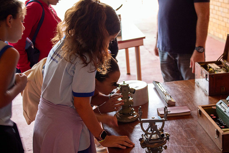
“Ruellan asked me to carry out a survey of the region. I took a compass, a barometer and an odometer (an instrument for measuring distances covered) to take notes and draw up this profile. He instructed us to only take measurements when we were stationary, in order to avoid inaccuracies with the instruments. I followed the advice to the letter, but the others didn't. Little by little, by not stopping so much, they went out of sight. I was very scared, I found myself alone in the middle of Jalapão. Then I realized that the donkey accompanying me knew the way. I trusted him, and everything worked out fine”, said Mr. Geiger in a statement to the IBGE last year.
Cayo Franco says that those kinds of equipment may seem limited nowadays, but they were the state of the art at the time. Today Geography has much more technology, such as satellite images and georeferencing. “These were extensive fieldworks with the aim of covering the territory with geographic technique and cartographic precision. All this with the limitations of the time, without GPS, without cartographic coordinates. It was a time when scientific knowledge was far from current technology, but with the aim of mapping the territory and establishing its limits. The first National Atlas established the country’s internal and border limits, at the request of President Getúlio Vargas”, says Mr. Franco.
As territories were mapped, expeditions began to decrease, as there was no longer a need for such an intensive and long-term territorial investigation of Brazil. The practice of fieldwork, however, remains until nowadays in the areas of geosciences and geography.
In the 1956 novel “O Tronco”, Bernardo Elis, possibly the greatest writer from Goiás of the 20th century, presents a fictional version of historical events that occurred at the beginning of the 20th century in the region of Jalapão, north of Goiás (current state of Tocantins), which led to an intense family dispute over land that involved jagunços (criminals or violent men, hired as bodyguards) and soldiers from the Brazilian army, respectively representatives of the coronelismo (a type of government exerted by great landowners) and public authorities. The territory of this novel was revisited in the fieldwork carried out by the IBGE, in 2016, and resulted in one of the chapters of the third edition of the Atlas of Literary Representations – Brazilian Backlands II. The series aims at representing – through maps at different scales, photos and satellite images – Brazilian regions that constituted striking elements in the plot of some of the greatest works of national literature.
“The editions of the Atlas of Literary Representations have already covered Southern Brazil, two volumes of the Backlands, the Brazilian Coast and now the Amazon edition is underway. Somehow, these works date back to the great expeditions, identifying regions that were portrayed in literature. In 2016, I participated in the fieldwork in the Jalapão region to better understand the context portrayed in the novels. In 2014, Mr. Geiger himself put out an unpublished article with reports of the 1943 expedition, which, at the time, were not published due to differences between him and engineer Gilvandro Simas Pereira, head of the expedition”, says the Geography coordinator.
For him, expeditions are a great door to knowledge of the national territory, the population that occupies it and the internal dynamics of the territory. The expeditions allowed the first geographical records of some regions and features of the national relief. In addition to the expeditions to the Guanabara Bay in 1941 and to Jalapão by Pedro Geiger between April and October 1943, other notable expeditions were those to the São Francisco River Valley, carried out by Orlando Valverde and Jorge Zarur between July and September of that same year (1943), and to the Marajó Island in 1953. One of the last ones reported, of 1968, covered Acre, Rondônia, Mato Grosso and Goiás.
Mr. Franco highlights that, in addition to mapping territories, expeditions represent a fruitful moment for geography to make cultural, economic and social distinctions that ended up echoeing in articles and field reports in the Brazilian Journal of Geography and in the Geographical Bulletin. Today there is less need to know the country's bounderies, but there are other dimensions to be investigated, such as biodiversity.
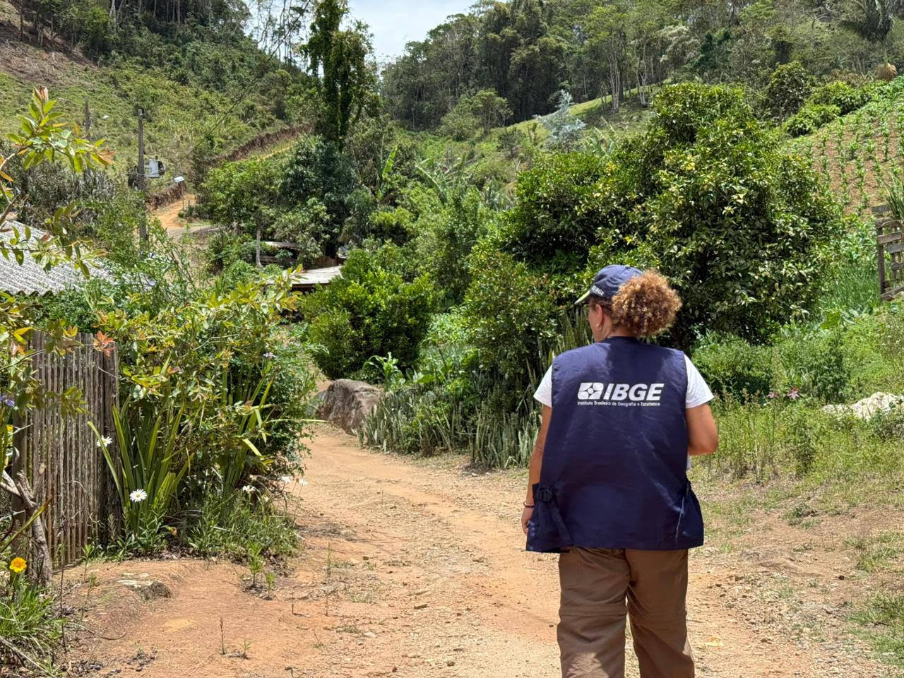
“The survey of surroundings itself is fieldwork. Today the IBGE is very advanced in technology and is starting to work with big data, but all of this will not diminish the importance of fieldwork. In addition to being a consolidated and essential scientific method, it is an important way for researchers to get to know the territory and population they are investigating. The whole fieldwork and mapping of traditional communities and peoples are ultimately inspired by the methods of large expeditions. And, almost 90 years later, the fact that the IBGE is able to collect geographic coordinates with such a level of precision and with high-resolution satellite images is something fantastic, which is based on all the possibilities of geographic studies built way back when”, highlights Mr. Franco.
The expeditions were also fundamental for the development of Brazilian geodesy, a science that works with terrestrial shapes, dimensions and gravity field. Carlos Alberto Correa e Castro Junior, a researcher who works in the area of geodesy at the state superintendency of Goiás, highlights that geodesy was born from the country's need to georeference its surveys. The IBGE is the manager of the Brazilian geodetic system, and as one of the area's responsibilities is the implementation of geodetic landmarks – points materialized on the ground that have precisely known geographic coordinates.
“Geodesy teams were also, and still are, responsible for several expeditions. In the 1930s, we needed to reference statistical events. It was not enough to say what had happened, it was also important to say where it had happened. And so geodesy emerged as support for cartography and statistical survey, with an emphasis on population censuses, our most complex survey. Today we have the support of a Global Navigation Satellite System (GNSS), whose best-known constellation is the GPS. Previously, geodetic teams were made up of more than 30 technicians. Today, with the GPS, two are enough”, says Castro Junior.
Among the projects he highlights are the expeditions, in 2004 and 2005, aimed at measuring the highest points in Brazil. Mr. Castro also mentions the expedition that took place in 2006, which materialized the northernmost point of Brazil, confirming that the northernmost limit of Brazil is not in Oiapoque, but in Caburaí Mount, in Roraima. Another milestone was the expedition that identified the main sources of the Amazon River, in the Peruvian Andes, in 2007. The researcher estimates that the IBGE has measured a little more than 100 thousand geodetic stations, in numerous expeditions, meeting different demands. But there are other projects that require new expeditions. One of them is the one that aims at establishing the correlation between ground and sea elevation systems.
“In this context, a pilot project has been carried out in coastal municipalities in Rio de Janeiro. It is not clear whether the coast is sinking or the sea is rising. This project was designed to to enable better assessments of the situation. The tendency is for other regions to be covered with similar surveys. We also participate in measurements that will integrate a single global elevation system. To this end, we are currently carrying out measurements in the Amazon. In short, a large number of geodetic and cartographic expeditions have been undertaken over the decades, so that the IBGE provides the best characterization possible of the Brazilian reality”, says the researcher.


