12º CAFA
IBGE participates in MundoGEO Connect 2026 and highlights the use of technology at the 12th CAFA.


June 15, 2026 04h10 PM | Last Updated: June 18, 2026 12h05 PM
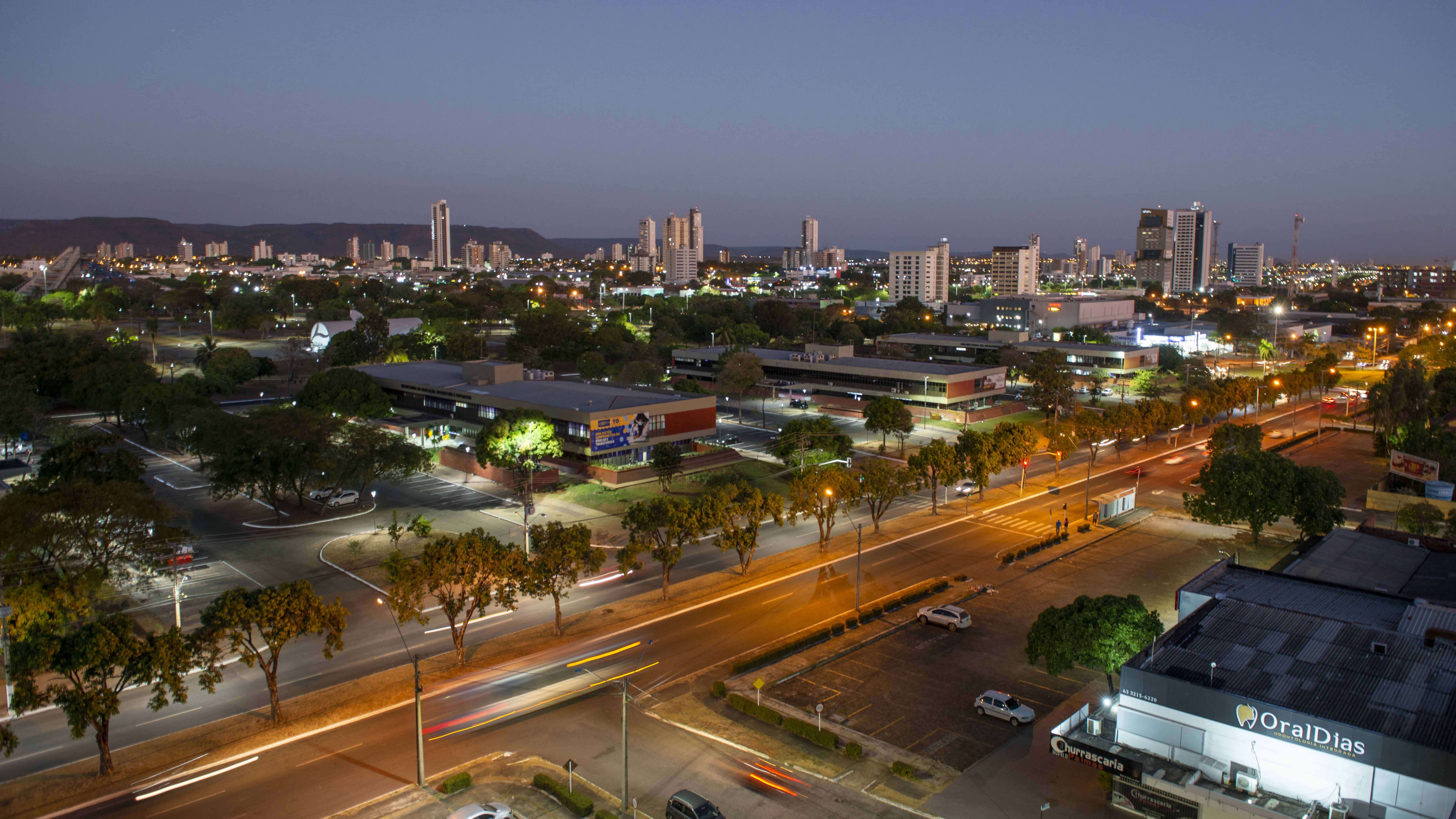
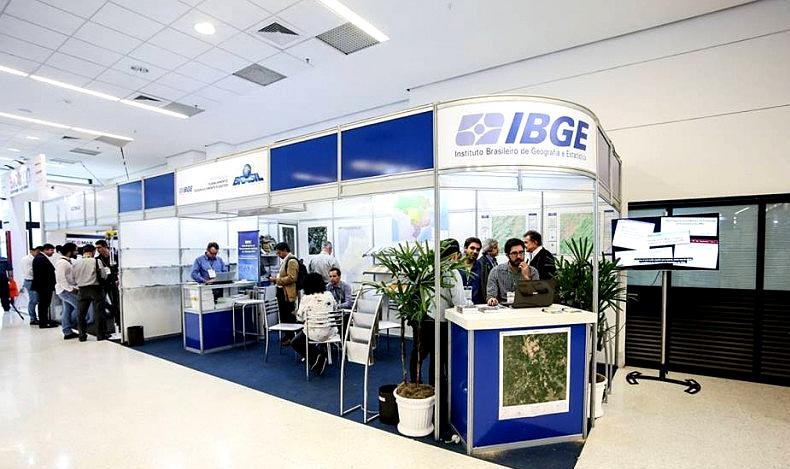
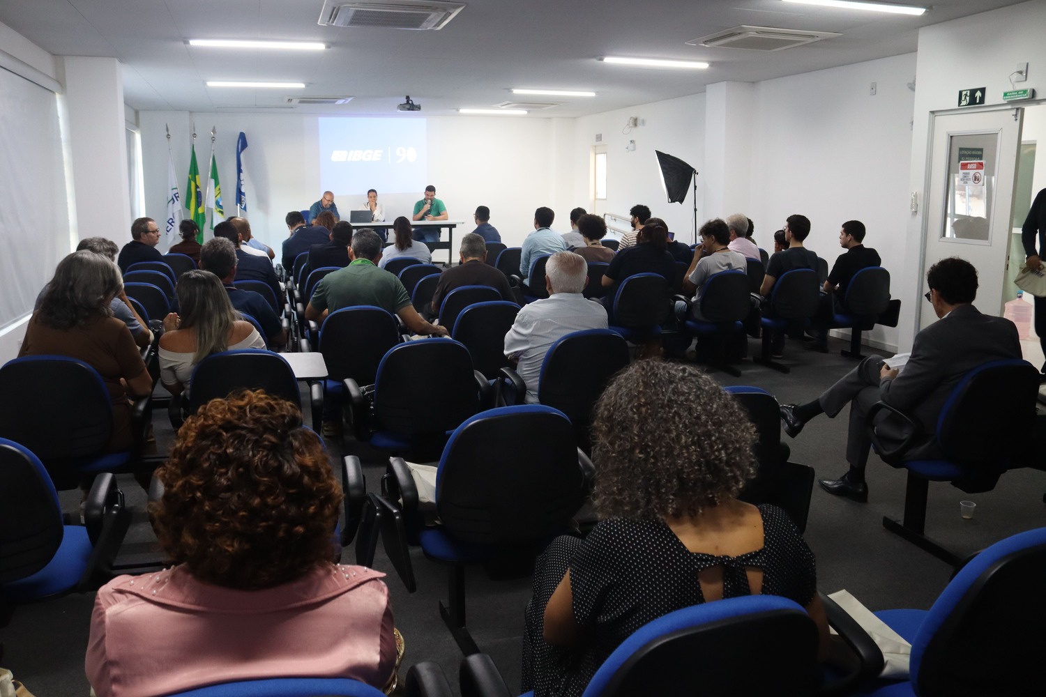
The Brazilian Institute of Geography and Statistics (IBGE) will be present at MundoGEO Connect 2026, considered the main geotechnology and drone event in Latin America. The fair takes place between June 16th and 18th at Expo Center Norte, in São Paulo, and brings together specialists, companies, and enthusiasts focused on geospatial intelligence solutions.
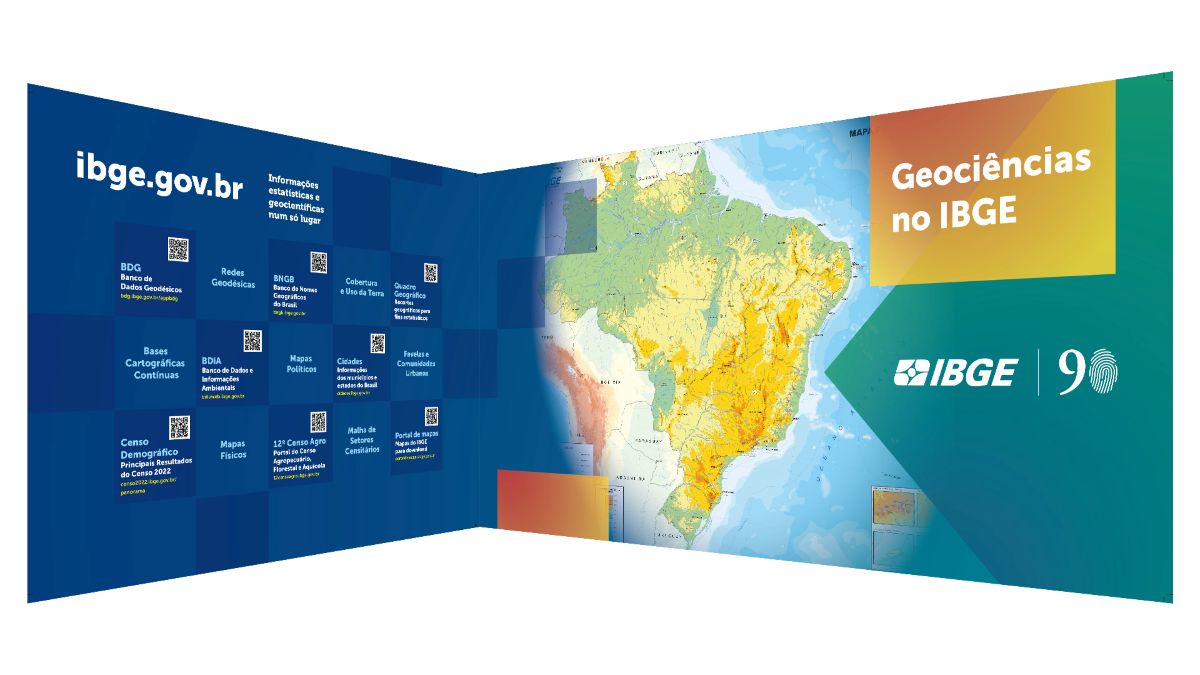
During the event, the IBGE will present to the public the set of information and products developed by the Directorate of Geosciences. The participation will include teams from the areas of geodesy, cartography, environment, geography, territorial structures, and geomatics, offering the public an overview of the Institute's initiatives and technical capabilities in the geospatial field.
“IBGE's participation in MundoGEO Connect reinforces our commitment to innovation and excellence in the production of geospatial information. Events like this are fundamental for the exchange of experiences, the building of partnerships, and the strengthening of the Institute's role in Brazil's development,” highlights the president of the IBGE, Marcio Pochmann.
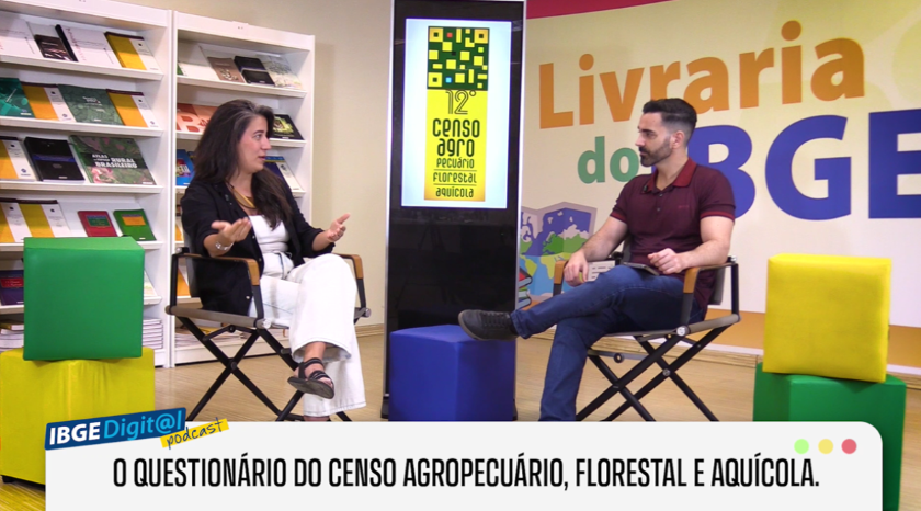
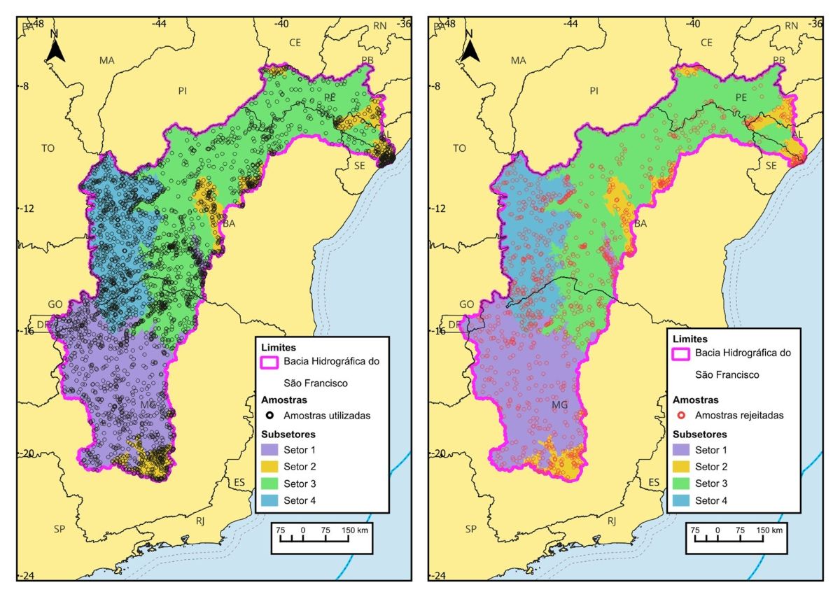
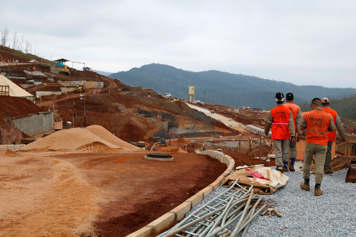
In addition to showcasing its activities, participation in MundoGEO Connect also represents a strategic opportunity to strengthen institutional partnerships and monitor the main innovations in the geotechnology market. For the 2026 edition, one of the highlights of IBGE's participation will be the 12th Census of Agriculture, Forestry and Aquaculture, especially how the Institute applies technology and knowledge in a large-scale operation focused on collecting and producing information throughout the national territory.
The presence of the IBGE at MundoGeo Connect reinforces its leadership in the production of geoscientific and geospatial data, as highlighted by the Director of Geosciences, Maria do Carmo Bueno. “It expands connections and shows the public how the Institute is evolving to deliver increasingly modern, integrated, and accessible data. The stand functions as a showcase of this transformation, showing the data we produce and how it can be used.”
Throughout the event, the Institute seeks to highlight how the use of advanced tools, such as remote sensing, geographic information systems, and geoprocessing solutions, contributes to improving the quality and efficiency of statistics and territorial information produced by the country.
IBGE's WhatsApp Channel
Join IBGE's official WhatsApp channel and stay tuned on all IBGE information. You can access it here.