Territorial divisions
IBGE launches Intermediate Sectoral Mesh 2021


November 21, 2022 10h00 AM | Last Updated: November 21, 2022 11h18 AM
The IBGE releases today (21) the Intermediate Sectoral Mesh 2021 in digital format, including the classification of enumeration areas into either urban or rural, in order to meet demands of territorial planning. Enumeration areas represent the smallest territorial portion used by the IBGE to plan and carry out statistical surveys. Altogether, they are 452,246 enumeration areas, being 345,646 urban ones, 105,706 rural ones and 894 water bodies (without households).
Launched for the first time in 2019, the product complies with the 1:5,000 and 1:250,000 scales. All the geospatial information is available in the SHP format to be applied in different geographic information systems, and in the KMZ format to be viewed on the Google Earth platform.
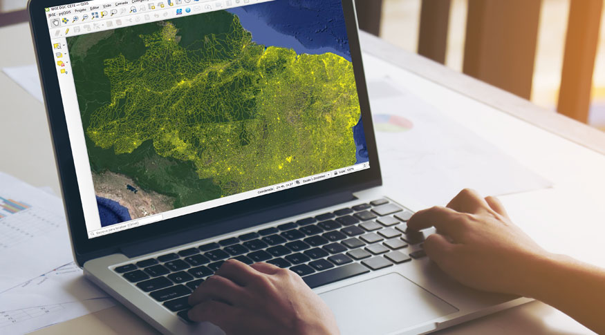
This product is the result of a wide view of several forms of human occupation in the national territory and it is updated based on analyses of high-resolution satellite images.
“In addition to increasing by 42% the amount of enumeration areas in relation to 2010, this version counts with 7,682 enumeration areas related to urban areas, 16,832 to villages, 5,010 to hamlets and 295 rural areas distributed along every region of the national territory,” explains Felipe Leitão, an IBGE geographer.
As a curiosity, the sum of the extension of all the border lines of the enumeration areas - literally described and mapped - adds up to more than five times the Earth-Moon distance (more than 2.260 million km). “Even with the pandemic period, this work shows the effort of the IBGE to follow up the growth of human settlements in order to update the Territorial Base for the data collection of the 2022 Population Census,” reinforces Leitão.
The Sectoral Mesh is released independently from a Population or Agriculture Census, that´s why it is considered intermediate and does not show any statistical data on population and households. It brings the classification of enumeration areas into either urban or rural according to the political-administrative division of the Digital Municipal Mesh published in March 2022. Also published on annual basis by the IBGE, it is able to subsidize the planning at municipal, state and regional levels, as well as surveys and economic activities that demand spatial components.