2022 Census
IBGE holds workshop on 2022 Census data for public managers and civil society at Casa Brasil IBGE


September 11, 2024 10h49 AM | Last Updated: September 12, 2024 03h03 PM
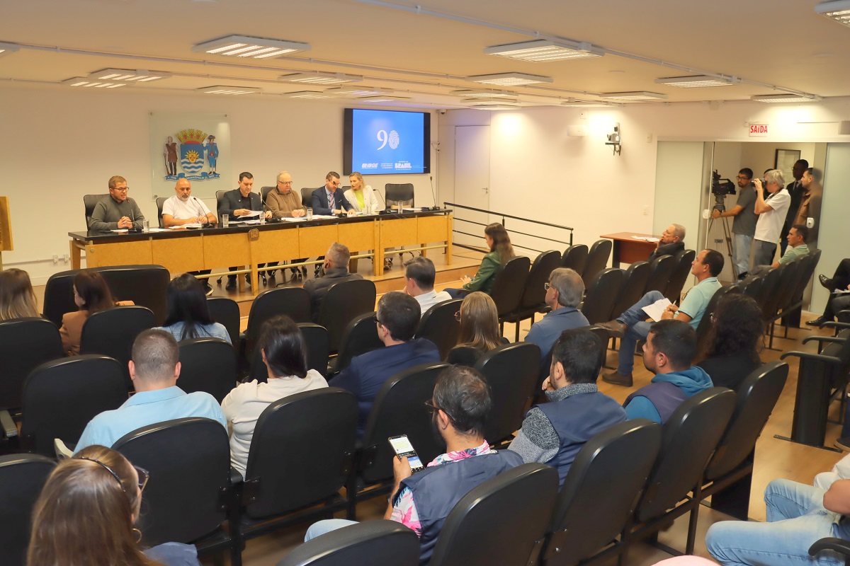
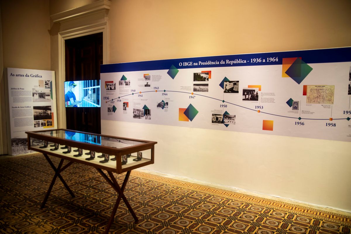
With the presence of community leaders and representatives of public bodies and civil society, the Brazilian Institute of Geography and Statistics (IBGE) held, on the afternoon of this Friday (6), the workshop “A territory of information: potentialities of the 2022 Census data”. The activity was part of the dissemination events “2022 Population Census: Types of collective, improvised, non-occupied (ocasional use and vacant) housing units: Population Results”, held at Casa Brasil IBGE, located on the ground floor of the Palácio da Fazenda, in downtown Rio de Janeiro (RJ).
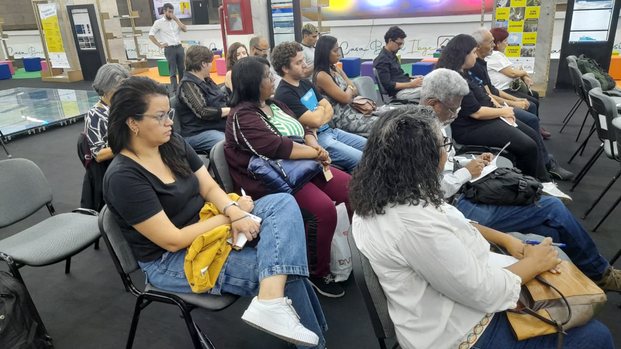
More than 20 people checked the technical and operational aspects of the 2022 Population Census, results and tools, which are essential for assisting local managers and helping them in decision-makingi. The first part of the workshop was dedicated to presenting the survey, the numbers from the operation and data potentialities.
The workshop was opened by the technical coordinator of the Population Census, Gustavo Junger, and the planning manager of the Technical Coordination of the Population Census (CTD), Giulia Scappini. The two presented information such as related numbers, topics investigated and the latest developments in the 2022 Population Census.

Mr. Junger explained some details related to the last Census and challenges raising awareness of it, for example, among the Indigenous population. “The Census Cartography was participatory and collaborative, with differentiated training, awareness raising with translated materials, translation of questionnaires, use of guides and interpreters, and adaptations of questionnaires in cities such as Boa Vista (RR) and Pacaraima (RR),” said Mr. Junger.
The technical coordinator of the Population Census also provided some figures from the Census, including the area covered and the number of area coordinators. “In total, there were 27 state coordinators, 583 area coordinators, 1,444 sub-area coordinators, covering 5,570 municipalities and 6,040 collection points. As a whole, the IBGE visited 90.7 million homes with a team of over 200,000 people involved,” highlighted Mr. Junger.

In turn, Giulia Scappini brought data involving the thematic coverage of the Census, which sought to cover several topics that involve the population. “We used two types of questionnaires: basic and expanded. The basic questionnaire contained 26 questions related to the characteristics of the residents, such as ethnic-racial identification, civil registration, education and income. While the expanded questionnaire contained 77 questions on topics such as marriage, fertility and religion,” highlighted the CTD Planning Manager.
She also emphasized the importance of obtaining results from this data, citing, for example, disaggregation of sex and age. “This study aims at monitoring the growth, geographic distribution and evolution of the population over time. It also helps in the planning and development of government policies and programs, such as the number of schools, immunization and programs to assist the elderly.” Finally, Ms. Scappini also spoke about the “Overview” website, in the IBGE page, with summaries of Brazilian states and municipalities.

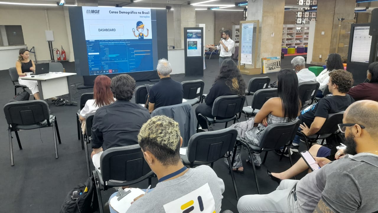
Next, it was time for IBGE technician of Social Indicators Management, Bruno Mandelli Perez, to discuss data potentialities for local managers. Mentioning the city of Rio de Janeiro, where the workshop was held, Perez presented some data, such as the change of population and housing units, distribution by sex and age and coordinates of housing units. “The coordinates, for example, can be used to check the number of housing units at a certain distance from some public facility. Coordinates of new buildings can indicate expansion zones within the city,” Mr. Perez highlighted.
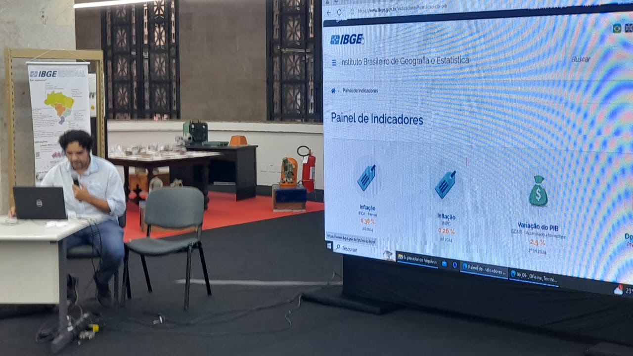
The analyst also presented the properties of SIDRA (IBGE Automatic Retrieval System), a digital tool that can be accessed from any internet browser and allows for quick and easy consultation of data from studies and surveys conducted by the Institute. “SIDRA allows you to consult information on all economic indicators, such as labor and income, inflation, industry, trade, services, agriculture, and GDP and their time series. It also provides access to the results of almost all structural surveys conducted by the IBGE, including the Population Census,” stated Bruno Perez.

Aline Lopes Coelho, integration manager of Geoinformation Production, brought tools and ways to access the data presented, such as interactive maps that take the user to the Interactive Geographic Platform (PGI), which is a tool used in the dissemination of IBGE geoscience products, and for monitoring census enumerators in the 2022 Census. “In the PGI, the user has access to the visualization of the population living in the affected area in each municipality, and also to complementary information such as population by enumeration areas, favelas, Indigenous lands and Quilombola territories”, said Ms. Coelho.
presented the BDiA (Environmental Information Bank)
Therence Sarti, IBGE Coordinator of the Environment of the Directorate of Geosciences, presented the BDiA (Environmental Information Bank), an environmental database system for Brazil, available for public consultation on the web, which brings together the collection of thematic databases of the country's natural resource maps in the areas of Geology, Geomorphology, Pedology and Vegetation, produced by the IBGE over the last two decades. “It is possible to access the platform in real time, by clicking on the link “geosciences” and then “environmental information”, where you can find environmental statistics and indicators, products related to endangered species, water quality, among other information”, explained Mr. Sarti.
Data that reaches the community

Ricardo Carvalho worked at IBGE during the 2022 Population Census as a Census Supervisor and is currently a student of the Defense and International Strategic Management course at UFRJ (Federal University of Rio de Janeiro). He highlighted that “this workshop is important, offering knowledge, explaining how the data can be used. This is an important role of a Brazilian state agency, such as IBGE”.
João Gabriel de Mélo is a Social Sciences student at UFF (Fluminense Federal University) and emphasizes that he has always wanted to learn about the work provided by the IBGE. “The biggest difficulty was identifying how to access this type of data, this workshop really opened my mind, especially regarding the division of enumeration areas”, highlighted Mr. Mélo.
Gabriel Ramalho, a student of Social Sciences at UFF, explained that he became more involved with the IBGE due to his contact with maps and indicators during college. “The issues related to maps and population density caught my attention. I made a research involving Public Security and the frequent contact with maps drew my attention to the agency. This workshop is a great experience,” said Mr. Ramalho.