Geodesy
IBGE makes available five new APIs for access to geodetic data and services
December 16, 2022 10h00 AM | Last Updated: December 16, 2022 10h33 PM
Highlights
- Five new application programming interfaces (APIs) wer made available today: BDG, ProGrid, hgeoHNOR2020, IBGE-PPP and RBMC.
- The APIIs are a type of service contract between different applications.
- The objective in making the new APIa available is to automatize the access to data, without the need of navigating the institutional site and filling out forms.
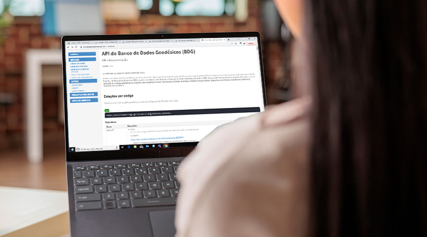
As of today (16), the users of geodetic data services provided by the IBGE will be able to access five new application programming interfaces. The products made available by the Institute can be used by software developers to include these data and services to their own applicationa and programs.
The five new APIs (BDG, ProGrid, hgeoHNOR2020, IBGE-PPP and RBMC) are available here, and now offer 18 services. At this link it is also possible to see the necessary documents for developers’ work.
The IBGE Geodesy manager, Aislan Ferreira, explains that the APIs can be seen as a service contract between different applications. The purpose is to provide resources and services in a simple and well structured manner. “The IBGE works as a service provider and sets rules to do that, by means of documentation of what the service offers, how it can accessed and what success and error responses are generated by the survice, for example.” In general, this exchange of information uses a compact open source form of data representation, such as JSON (JavaScript Object Notation).
According to the manager, the objective of making the new APIs available is to automatize data access, with no need of website navigation or filling out of questionnaire by the user. The main benefit broughy by them is the delivery of expected functionalities, with users accepting the necessary parameters for the request and receive the response.
“Anyone who is interested in official geodetic data can include those data into their applications, just making API requests , without the need of previous downloads from the databases. For this reason, this work is focused on software developing companies, which can create new solutions based on these services.”
Aislan also highlights the role of official APIs as innovation instruments, by stimulating development and creating new opportunities for business and products. He also highlights that the new interfaces are other forms of access to geodetic data already made available by the IBGE. “The major difference is that from now on they can be used in an automatic, programmable way. That will allow the aggregation of value into other applications,” he adds.
The IBGE Geodesy Coordinator, Sonia Costa, gives an example of a possible use of an API. “An application about geodetic stations, for example, can be developed for use in a cell phone. A person in the field identifies an IBGE station and wants to get more information about it. In this application they inform only the code found in the identification plate and the information is automatically checked on the database, with no need of accessing the website.”


