Territorial Structures
IBGE releases 2020 collection of municipal maps
August 30, 2021 10h00 AM | Last Updated: August 30, 2021 04h30 PM
Highlights
- The map collection comprises the territories of the 5,568 Brazilian Municipalities, the Federal District and the state district of Fernando de Noronha.
- Main territorial structures are a highlight; the political-administrative configuration also stands out, as registered by the IBGE up to 2020.
- Aims at supporting the sample surveys carried out by the IBGE and at disseminating results geographically related to the municipal areas.
The IBGE released today (August 30) the 2020 Collection of Municipal Maps updated for the whole national territory. The municipal maps were produced based on IBGE’s Digital Municipal Mesh and aggregate all information from census mapping, a reference of the main territorial structures and political-administrative organization in effect in Brazil.
Aimed at supporting the census operations, the product released today comprises the territories of the 5,568 Brazilian municipalities, in addition to the Federal District and the state distruct of Fernando de Noronha. More than 75% of the maps were designed in scales greater than or equal to 1:10,000 (in which each centimeter equals 100 meters).
“Since the last Population Census, in 2010, the Brazilian territory has undergone huge transformation due to the territory occupation process and also those resulting from borderline changes in the municipal mapping”, explains the IBGE coordinator of Territorial Structures, Mr. Roberto Tavares. “Our biggest challenge was to build, in the short-run, an application in QGIS (an open source Geographic Information System), which could aggregate available information and carry out a selection of minimum numbers to make it possible to create maps from municipal territorial basis adopted by the IBGE”, he adds.
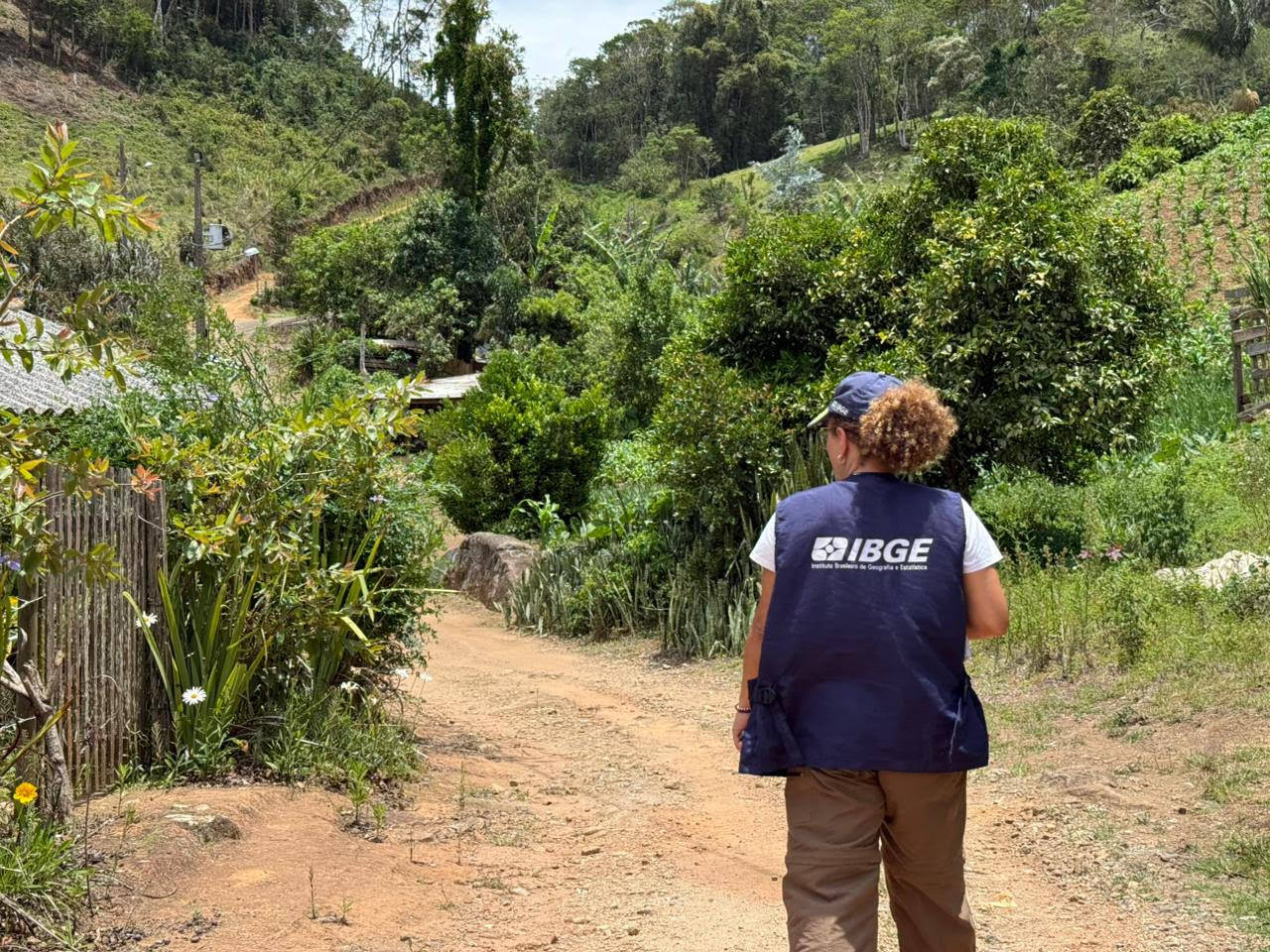
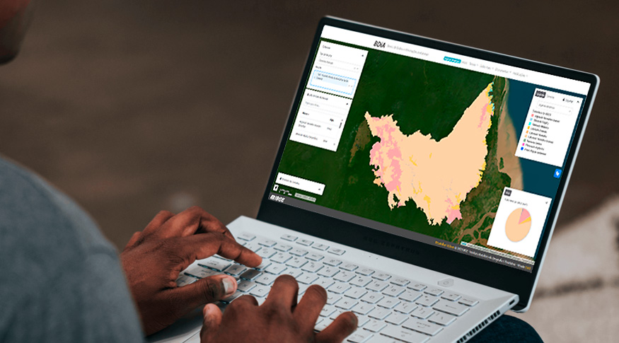
 Maps were produced based on the IBGE Municipal Mesh - Photo: Freepik (art on photo)
The collection gathers the following information levels: political-administrative division (municipal and intra-municipal) of 2020; delimitation of Special Areas (Indigenous lands and Quilombola territories officially defined and Conservation Units); coverage of urban areas of cities, villages and urban centers; main localities and reference points; information on road systems and rivers.
The maps were developed in Python language, combining geoservices, extraction of vector data from IBGE database and the best existing input, taking into consideration the information recorded in previous censuses, different cartographic bases, sample surveys, free geoservices and the updates from the fieldwork carried out by IBGE agencies.
“The greatest users of this products outside the IBGE are municipal public agents, educational establishments and the general public, due to the representation of the main elements of the municipal infrastructure, which meets the access demands to maps in digital formats for simple and direct use”, adds Mr. Tavares.


