RADAM project is subject of publications and event at IBGE


October 30, 2018 10h00 AM | Last Updated: October 31, 2018 03h28 PM
The IBGE launches today (October 30) the book “Desbravar, conhecer, mapear: memórias do projeto RADAM/RADAMBRASIL” ("Pioneering, knowing, mapping: memories of RADAM/RADAMBRASIL project") and volumes 35 and 37 of the Surveying of Natural Resources of the RADAMBRASIL project series, including information on geology, geomorphology, pedology (soils), vegetation and potential land use.
RADAM is also the subject of the VI Memory Panel event that will be held today at 2pm at the Auditorium of the IBGE´s Center for Documentation and Information Dissemination, located at 706 General Canabarro Street, Maracanã.
Although forgotten today, the book “Desbravar, conhecer, mapear” registers the preserved memory of the project, which was an important initiative of Brazil in the studies of integrated mapping of the national territory, according to Leandro Malavota, an IBGE historian.
"We have been losing the RADAM memories over time. Even people from geosciences do not know what was this project, what was its importance, for what it served, what type of services it rendered to Brazil and to the Brazilian society. That is why this registration is important."
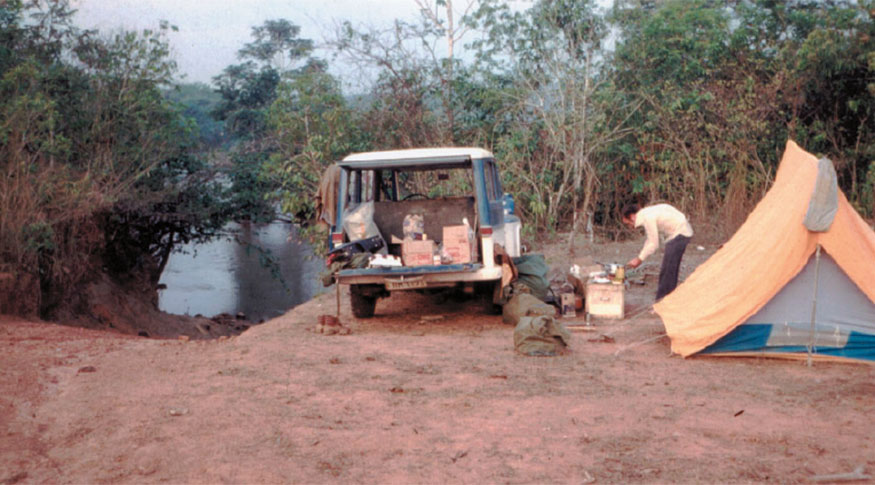
RADAM was created in 1970 in the Amazon, aiming at mapping and surveying the natural resources in this region. Five years later it was expanded to the whole national territory, becoming known as RADAMBRASIL. It was integrated into the IBGE in 1985, which absorbed its technical collection and professional staff.
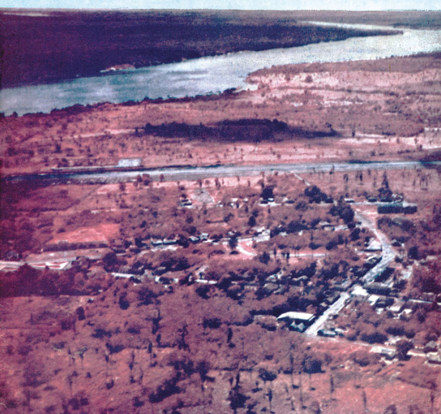
The project pioneered the use of radar images to evaluate the geology, geomorphology, pedology, vegetation and potential use of land. Leandro believes that, even today, the information raised by RADAM can contribute to streamline the occupation in different areas of Brazil.
"One of the contributions of RADAM to the society was making a number of surveyings, both of the natural resources and potential exploitation of such resources for economic activities", concluded him.