Mapping
In Macapá, IBGE releases new eastern border of the Marine-Coastal System in accordance with the Blue Amazon
August 14, 2024 02h42 PM | Last Updated: August 14, 2024 05h02 PM
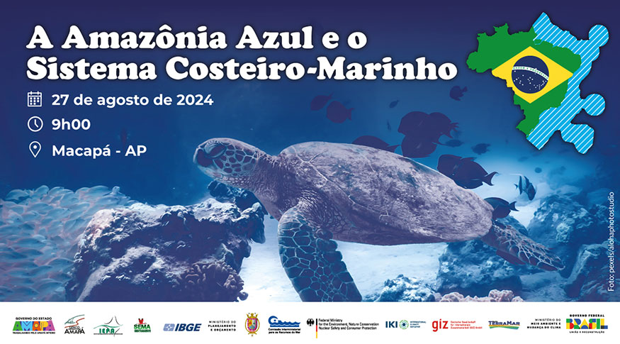
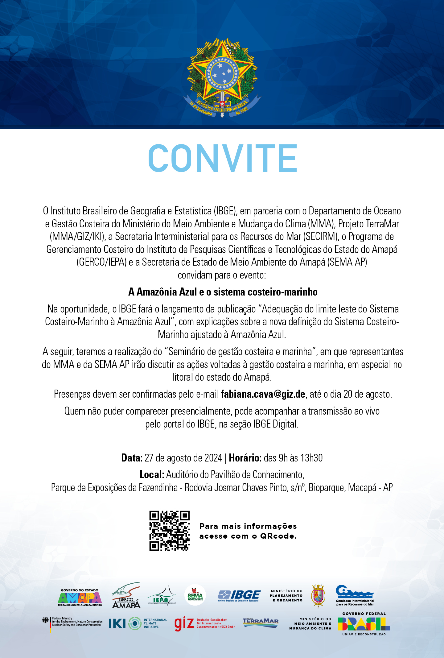
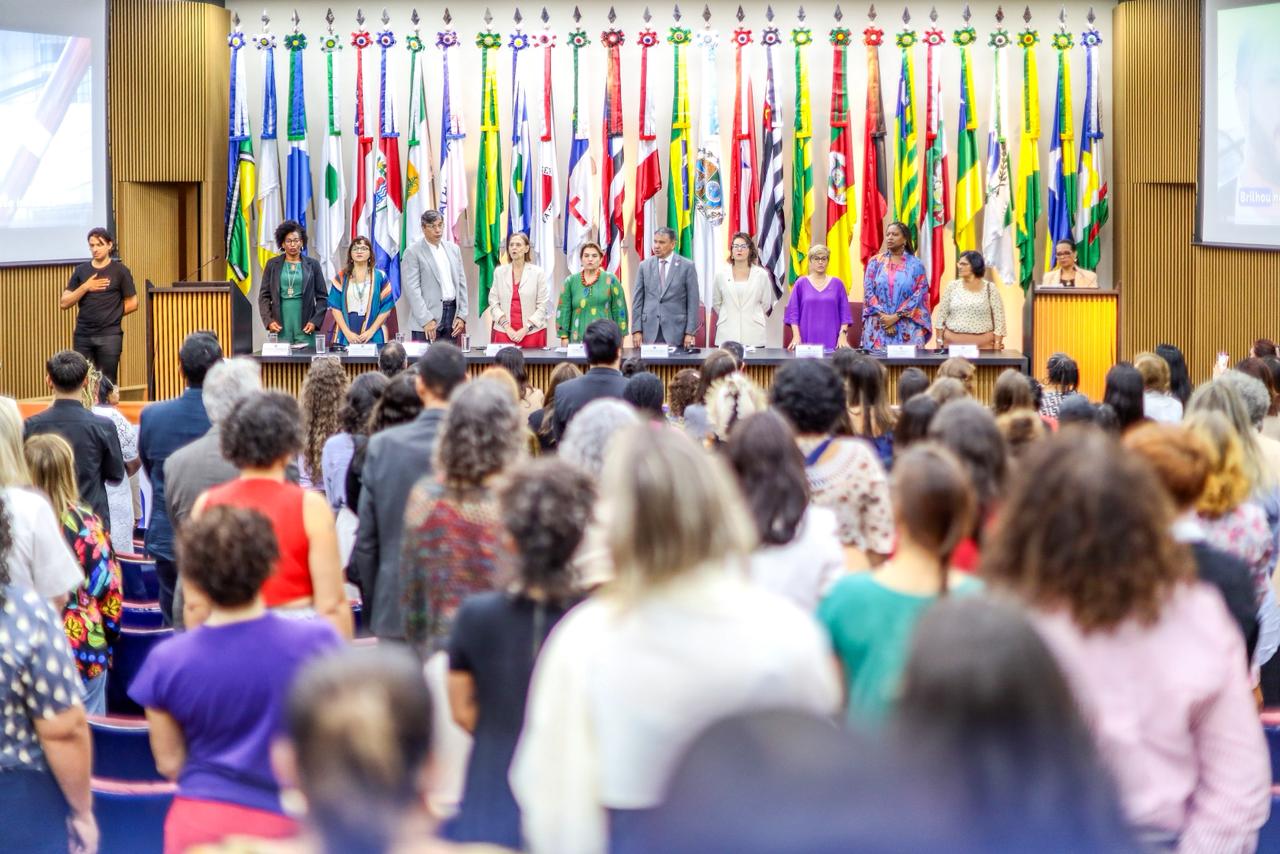
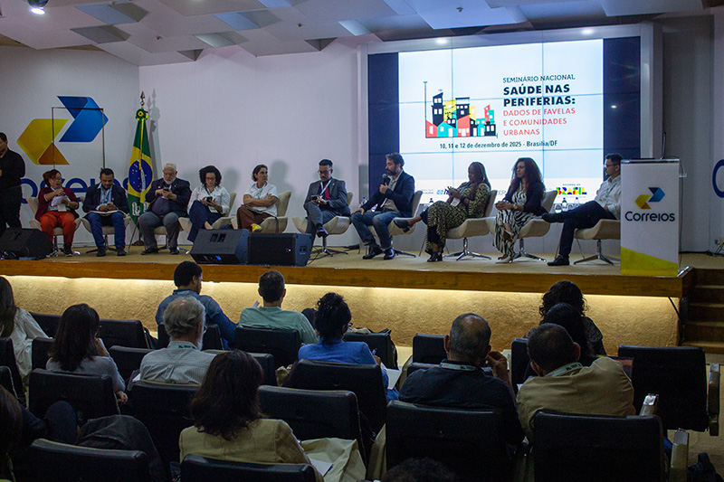
On Tuesday, August 27, at 10am, the Brazilian Institute of Geography and Statistics (IBGE) will release the new eastern border of the Brazilian Coastal-Marine System, în accordance with the Blue Amazon. The launching will be during the Seminar of Marine and Coastal Management, at the Auditorium of the Knowledge Pavillion, at the Exhibition Center of Fazendinha, located at Josmar Chaves Pinto Highway, neighborhood of Bioparque, in Macapá, capital of Amapá.
The seminar is a joint venture between the IBGE and the Department of Ocean and Coastal Management of the Ministry of Environment and Climate Change, supported by the TerraMar Project (MMA/GIZ/IKI) of the Interministerial Secretariat for Sea Resources (SECIRM) of the Brazilian Navy, of the State Secretariat of Environment of Amapá, as well as local actors of coastal management. The seminar will be streamed through the Digital IBGE portal (ibge.gov.br).
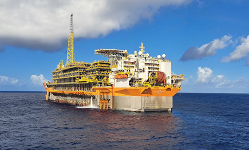
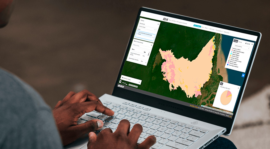
The geography aims at addressing the expectations from different sectors of the society interested in a mapping that covers the maritime area under Brazilian jurisdiction, with the use of the Blue Amazon - a region that encompasses the sea surface, water overarching the seabed and marine soil and subsoil contained in the atlantic extension, projecting from the shore down to the outside border of the Brazilian Continental Platform.
That adjustment represents an increase in area of more than 4 million km2 in relation to the Map of Biomes and Coastal-Marine system of Brazil, compatible with the 1:250 000 scale, published in 2019, and that adopted as the eastern border the extension of the Great Brazilian Marine Ecosystems. However, the continental portion remained unchanged. The continental portion includes costal enviromnments like dunes, mangroves and sandbanks, the first features formed over the marine sediments along the Brazilian shoreline.
The release will make available a technical note with the procedures for developing the layout in the maritime portion, a vector datum in shapefile format and a map in PDF. These products are valuable documents for the represenation of a physical-biotic geography of Brazil, contributing to the sustainable management of the marine and coastal biodiversity, from its popularization in the basic education to the support in establishing public policies.
Service
Event: release of the new eastern border of the Coastal-Marine System, în accordance with the Blue Amazon.
Date: August 27, 2024
Time: From 9am to 1:30pm
Venue: Auditorium of the Knowledge Pavillion, at the Fazendinga Exhbition Center
Josmar Chaves Pinto Highway, neighborhood of Bioparque - Macapá (AP)
Broadcast: Digital IBGE (ibge.gov.br)
Press confirmation through email comunica@ibge.gov.br
