Geosciences
IBGE launches new portal of the Database of Geographical Names in Brazil
December 05, 2024 10h00 AM | Last Updated: December 07, 2024 02h25 PM

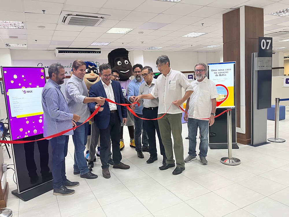
The Brazilian Institute of Geography and and Statistics (IBGE) launchedtoday, 05, the new Database of Geographical Names in Brazil – BNGB Portal.
The Database of Geographical Names in Brazil (BNGB) currently
gathers geographical names of the categories hydrography, relief, boundaries and localities, mainly those within vector cartographic bases produced by the IBGE, at different geographic scales. Its creation has as main objectives the standardization of names adopted by the IBGE and dissemination in an exclusive environment for the search of Brazilian geographical names.
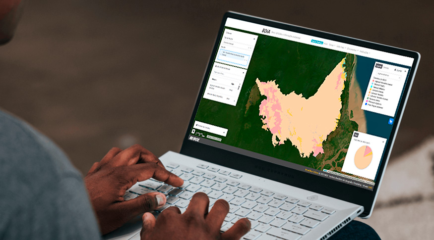
The BNGB portal allows searches by geographical name or word/term, by category and/or type of information, by cartographic scale, by status of validation, by municipality, by spatial area, among other possibilities. The BNGB portal is available here.
Taíssa Abdalla, a technologist at the Department of Innovation and Development of the IBGE’s Center for Information Documentation and Dissemination, and developer of the BNGB portal, explains that was “an interesting project from the perspective of interaction design and user experience. During the step of design, a series of interactive prototypes were developed, with the objective of creating a simple, contemporary and responsive interface that could meet all the criteria established by the Department of Geographical Names. Efficiently communicate the content of BNGB and enable the user to Interact with the map and geographic names displayed on it.”
An API (Application Programming Interface) was developed in parallel with the BNGB, with the objective of enabling the consumption of information in a simple and safe way,” as reported by the developer of this API, Viviane Diniz, head of the Geospatial Data Management, of the Quality Control Department within the Cartography Coordination. Diniz also emphasizes that “it would be a waste of time not to provide society, especially system developers, with this resource of access to BNGB data, as search results are presented in a format most software can understand and process; the API expands interoperability possibilities between the BNGB and other applications”. The API BNGB can be found at: IBGE Data Service.
But what are geographical names, after all? They are part of everyday life and their importance is noticed as we answer simple questions such as: “Where do you live?”, “Where are you going to spend your vacation?”, “Which subway station should I get off?”
Toponyms, as geographical names are also called, are formed, most of the time, by a generic and a specific term, like “Serra Pelada”, where Serra is the generic name and Pelada is the specific one. The generic term identifies the “type” of feature and the specific term characterizes a particular aspect of it.
According to Ana Resende, manager of the Department of Geographical Names, of the Cartography Coordination, “geographical names do not only identify geographic features, as the analysis of names can reveal a lot about the patterns of use of an area, what peoples inhabited that land, what languages were spoken. They can also help identify economic production patterns and even the predominant type of vegetation in a given area.”
As an example can be mentioned the great variety of names related to tropeirismo (muleteer movement) in routes in the South of Brazil, in São Paulo and Minas Gerais, the many localities and water courses named after Polish ad Italian immigrant families in Irati (PR) and rivers all over Brazil named after types of fish commonly found in them.
According to Resende, “considering that many of those names appeared as descriptions of features or locations they designate, it is clear we are dealing with valuable historical material. So, even the most recent names are part of local identity and reinforce the sense of belonging, thus representing a significant share of memory and collective heritage, also working as social markers.”
Ana Resende mentions that a great advantage in having a database of geographical names is the opportunity “to gather in one single place information about names, in such a way as to make easier the research, treatment, analysis and standardization of names.”
According to Graciosa Moreira, head of the BNGB Management Department, within the Department of Geographical Names, the BNGB currently has 150,813 geographical names, of which 48,263 have been validated, that is, 22,309 have been validated by geographical names experts by means of the semi-automatic process of compatibilization between IBGE vector cartographic databases.
Moreira draws attention to the fact that “the work of compatibilization of names of different sources of information and forms of data collection is a continuous and hard process, given the continental dimensions of Brazil and also its cultural diversity”, and that “a lot has yet to be done so that, in the future, the BNGB will cover historical, linguistic, cultural aspects and the validation effected.”
Resende points out that “the continuous work of compatibilization of geographical names in vector cartographic bases of the IBGE will result in progressive increase of quality and consistency of the names disseminated, to be used by the IBGE, institutions that deal with geographical names directly or indirectly, and by society in general, for various purposes.”
To Leila Oliveira, from the Cartography Coordination of the IBGE's Directorate of Geosciences, “the consistent use of geographical names in a country is advantageous beyond the cultural aspect, as it avoids mistakes and replication of work, saving time and resources and granting more efficiency.” Oliveira added that “some of the areas favored by the consistent use of geographical names are statistical offices whose censuses are based on nominated populated areas; governmental bodies in charge of the establishment of territorial boundaries and those responsible for urban and rural planning; law and order authorities, such as police corps, armed forces and emergency services, such as firefighting corps and ambulance networks, air and sea rescue teams and humanitarian aid agencies that need to provide immediate response to events in a given place; the corporate world, in the development of brands, especially Geographic Indications; tourism authorities that supply the demand of national and international markets and promote named attractions, hotels, restaurants or the like, as well as the media, in the coverage of events.”


