2022 Census
IBGE's Technical Workshop in Paraty opens nineth dissemination event of 2022 Population Census


May 03, 2024 03h50 PM | Last Updated: May 08, 2024 04h30 PM
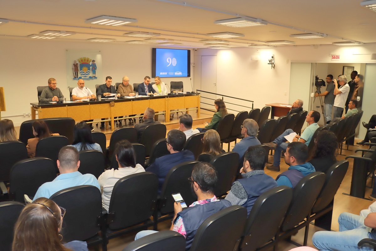
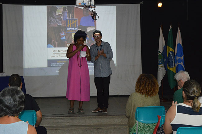
On Thursday's afternoon, May 2nd, the IBGE held the Workshop: A Territory of Information - Potentialities of Census Data for Traditional Peoples and Communities, at the Rosária Gibrail Auditorium, located at Colégio Estadual Engenheiro Mário Moura Brasil do Amaral, in downtown Paraty (RJ). The event, which had the support of CEMBRA, of the Observatory of Sustainable and Healthy Territories of Bocaina, of the Oswaldo Cruz Foundation - Fiocruz, of the Traditional Communities Forum, of SUS and the Ministry of Racial Equality, opened the Ninth Dissemination Event of the 2022 Population Census in the city that is 370 km far from the capital of Rio de Janeiro.
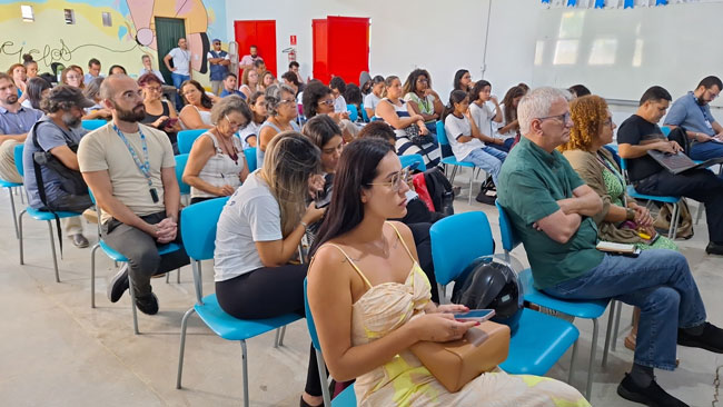
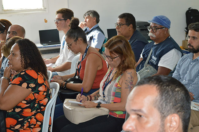
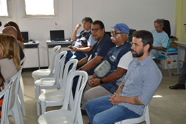
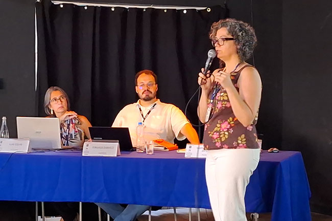
Around 50 participants, including municipal, state and government agency managers, were welcomed by the Institute's team, composed of the Director of Geosciences (DGC), Ivone Lopes Batista, the Superintendent of IBGE in Rio de Janeiro, Francisco Lopes, the Coordinator of the Census, Gustavo Junger, the Manager of Traditional Territories and Protected Areas at the IBGE, Fernando Damasco, the Technical Coordinator of the Population Census of the Directorate of Surveys, Marta Antunes, and the Manager of Integration of Geoinformation Production, Aline Coelho.
The IBGE Director of Geosciences, Ivone Lopes Baptista highlighted that “these workshops are important for us to present the platforms and ways of accessing IBGE data. This workshop, in particular, due to the dialogue with leaders of Indigenous and Quilombola peoples, shows how much progress we have made on the topic and the diversity of our data”.
Elizabeth Hypólito, IBGE Director of Surveys explained that “this type of movement is important because it is not enough to produce results, we also need to show society how to have access to this data, so that public policies are designed. This is our institutional mission, it is part of our code of best practices and accessibility”.
Gustavo Junger, Census coordinator, stated that “the strategy of thinking about workshops for Census dissemination is appropriate to deliver this data to society and to communicate to society the ways of accessing and potential uses of this data. This meeting is also essential to bring the IBGE technical staff closer to data users. This meeting with students at a school is unique opportunity for the Census.”
IBGE Superintendent in Rio de Janeiro, José Francisco Lopes, highlighted the role data dissemination to the Superintendencies. “This workshop is an extension of the dissemination process and the data presented is of high level, in addition to the quality of the geographic platforms that support our work. For the Superintendency, it is important to see the results of our work in the field demonstrated in numbers”, said Mr. Lopes.
Eloá Moraes, General Coordinator of Policies for Traditional Communities at the Ministry of Racial Equality, highlighted the role of results for public managers, as it is the case of ministries. “It is important that the presentation of Quilombola and Indigenous Census Data was in Paraty, and that from the data we can design public policies based on evidence and not on guessing.”
Methodology and data from the 2017 Census of Agriculture
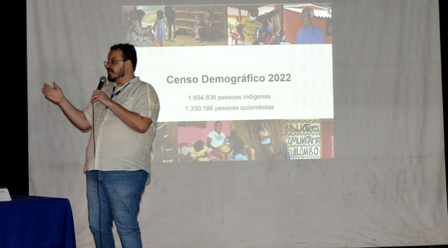
The Technical Coordinator of the Population Census of the Directorate of Surveys, Marta Antunes, opened the presentation by explaining what the Population Census and the Census of Agriculture are. Afterwards, she also explained the history of Census survey with Indigenous and Quilombola populations. “The Census is important for these groups as it covers the entire national territory. Indigenous peoples are 0.88% and Quilombolas, 0.6%. In 1991, the IBGE began investigating the Indigenous population. In 2010 and 2022, the IBGE brought the portrait of Indigenous persons closer reality. It is necessary to build methodologies to meet the demands of publications and official statistics on Traditional Peoples and Communities”, explained Ms. Antunes.
Fernando Damasco, Coordinator of Territorial Structures, presented some data related to the color and race profile of the last Census of Agriculture, carried out in 2017. “We tried to approximate the evaluation of the products most linked to these groups. This selection revealed that this production is the one that uses the least pesticides and is the most varied, involving family members within this section of producers. The Census provides data on the sex of the producer, age of the producer, size of agricultural establishments, breakdown by color or race, use of pesticides”, explained Mr. Damasco.
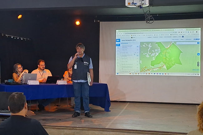
The Imaging Manager of the Cartography Coordination, Aline Coelho, presented the PGI - Interactive Geographic Platform. “Through the PGI, the IBGE can check the collection status for each sector on an interactive map, being used in IBGE Geosciences publications”, explained Ms. Coelho. She also illustrated other functions of the platform. “All of this we are seeing are geoservices. I can use data from other institutes and consult the data, as it is the case of Ibama, correlating them”, added the manager.