Territorial Structures
IBGE updates geographic data of Brazilian states and municipalities


March 29, 2023 10h00 AM | Last Updated: March 29, 2023 07h48 PM
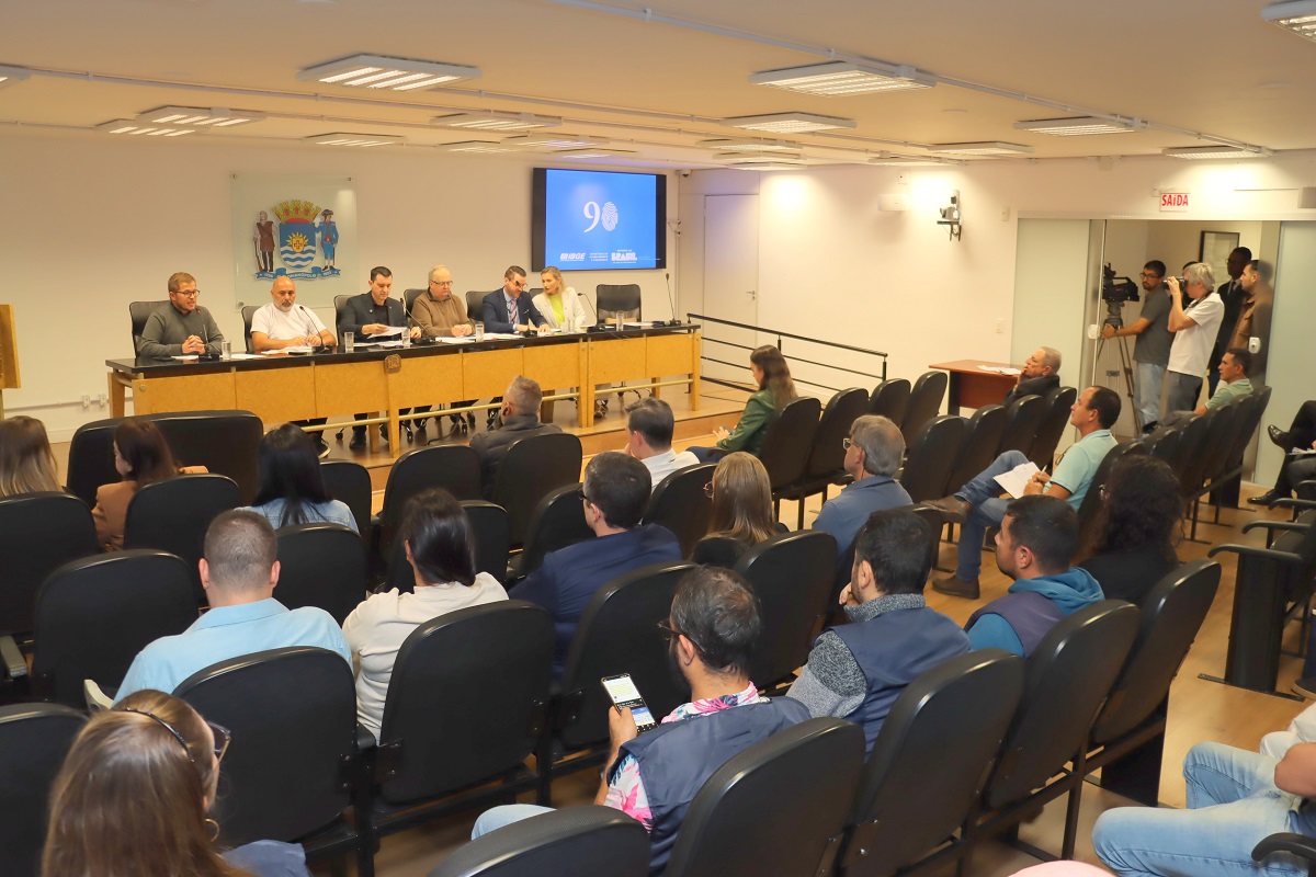
 Rio Grande do Sul was the state with the highest number of reviews - Photo: Luciano Lanes/Porto Alegre City Hall
The IBGE publishes today (March 29) the update of three annual Geosciences studies: Digital Municipal Meshes 2022; Update of Municipal Maps and Territorial Areas of States and Municipalities.
The Digital Municipal Mesh is a set of digital files representing all Brazilian municipalities and the total area of the country. This study provides data for the Municipal Maps and the new values of Territorial Areas. “Updates take place based on the publication of new legislation, judicial decision and technical opinions/reports prepared by the respective state bodies responsible for the political-administrative division of each state and are forwarded to the IBGE”, explains IBGE coordinator of Territorial Structures Roberto Tavares.
In this 2022 edition, the IBGE makes available the maps of 174 municipalities that had their borders updated between May 1, 2021 and July 31, 2022. The states with the highest number of reviews were Rio Grande do Sul (61 municipalities), Pernambuco (50) and Paraná (47).
| FEDERATION UNITS | No. of UPDATED MUNICIPALITIES |
|---|---|
| TO | 02 |
| MA | 03 |
| RN | 03 |
| PE | 50 |
| PR | 47 |
| RS | 61 |
| MT | 06 |
| GO | 02 |
| TOTAL | 174 |
The update in the calculation of the Territorial Area for 2022 resulted in the total value of the territorial extension of Brazil of 8,510,417.771 km², indicating an adjustment of over 72,231 km² in comparison with the value published in 2021 (8,510,345.540 km²). This increase, which does not represent enlargment as a matter of fact, is due to reviews of some parts of the international borders of Brazil in the states of Amazonas, Rondônia, Mato Grosso and Mato Grosso do Sul.
According to Mr. Tavares, the new outlines were improved to the physical reality of the region's hydrography, by means of high-resolution satellite images, and in accordance with the data provided by the Border Demarcating Commissions of the Ministry of Foreign Affairs, which is in charge of demarcating and characterizing Brazil's borders together with the competent bodies from neighboring countries. Altogether, Brazil has 5,568 municipalities, in addition to the State District of Fernando de Noronha and the Federal District.
Due to the need for continuous updating of the Territorial Base, specifically in relation to the design of the municipal mesh, cartographic adjustments were also made in several municipalities, due to the availability of new cartographic inputs.
The IBGE has technical cooperation agreements with most of the states in order to review, make cartographic adjustments and updates in state legislation with the respective Legislative Assemblies in the face of changes in the occupational dynamics of the territory and advances in geotechnologies that allow to improve the identification and representation of municipal boundaries. However, despite the use of municipal maps as a reference for various activities by public and private bodies and by society in general, the IBGE is not responsible for defining and demarcating the municipal territory.
The complete documentation regarding the technical, historical and legal characteristics regarding the use of the Digital Municipal Mesh and the values of the Territorial Areas is described in the document Digital Municipal Mesh and Territorial Areas 2022: Technical and Legal Information for the Use of Published Data", available at the IBGE Library.