Territorial Structures
IBGE updates maps of 663 municipaliites and state borders
May 20, 2020 10h00 AM | Last Updated: May 29, 2020 05h57 PM
The IBGE updated the maps of 663 municipalities that had changes in either area or border between May 2018 and April 2019, based on changes made by the state agencies responsible for the political-administrative division and Legislative Assemblies. The state with the greatest number of updated municipalities was Ceará, with 180 border changes. The smallest municipality in the country has an area equivalent to 350 soccer fields. It is Santa Cruz de Minas (MG), with 3,565 km². The largest one is Altamira, in Pará, larger than several Brazilian states (159,533.328 km²). The largest of the states is still the Amazonas, with 1,559,146.889 km², surpassing the sum of the areas of the South and Southeast Regions together.
Information such as this is available in the three studies released today (20) by the IBGE: Territorial Areas of Brazilian States and Municipalities, Digital Municipal Mesh of Brazil 2019 and Updating of the Statistical Municipal Maps of Population Estimates.
As a whole, Brazil has 5,568 municipalities, besides the island district of Fernando de Noronha and the Federal District. In this update of the territorial areas of states and municipalities, the highlight are the refinement of the coastline for the area calculation; the detailing of some river limits between the states of Mato Grosso, Amazonas, Pará, Maranhão and Roraima; and the adequacy between the limits of the Federal District and Goiás.
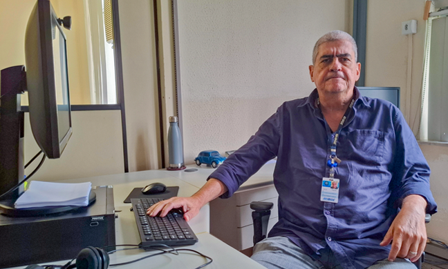
"With technology enhancement, we can analyze satellite images of very high resolution, improving the cartography of the past", explains Mr. Roberto Tavares, coordinator of Territorial Structures at the IBGE. The reprocessing of the values of the territorial areas was updated in accordance with the political-administrative structure in effect on April 30, 2019, the reference date of the Population Estimates 2019, incorporating the changes in municipal territorial borders taken place after the 2010 Population Census.
Historically, the first official estimate for the surface area of Brazilian territory was 8,337,218 km², obtained fro m measurements and calculations made on the basic sheets of the Empire Chart of Brazil, published in 1883. From the 1940 Census, the IBGE started to assess the area of the country. The most recent calculation of the territorial area of Brazil, in 2019, resulted in a total value of 8,510,295.914 km², and was grounded on the geospatial configuration contained in the Digital Municipal Mesh of Brazil 2019.
New municipal borders recalculate residents' estimate
The IBGE also updated the maps of 663 municipalities that had their areas and borders changed between May 2018 and April 2019. Mostly subtle, these changes exert impact on the amount of inhabitants in these places, since the changes move some areas, and their inhabitants, to neighbor municipalities. The updates also influence population studies and surveys, as the population estimates, calculated every year by the IBGE.
Besides the cartographic adjustments announced by the states, the changes can be made to comply with new state laws. Technological advances also allow to improve the identification and representation of the areas of the municipalities.
Another set of digital files representing all the Brazilian municipalities launched today was the Digital Municipal Mesh of Brazil with reference to 2019. Published annually, the study comprises the political-administrative representation of the Brazilian states and municipalities and serves as a basis for the calculation of the Brazilian Territorial Areas.
Besides the municipal adjustments made according to the state offices responsible for the political-administrative division and to the Legislative Assemblies, this edition highlights the improvement of the Brazilian borderlines in the state of Roraima with neighbor countries, as well as the updating of the state borderlines between the states of Tocantins, Goiás and Bahia. The adjustment of the borderline between the states of Bahia and Sergipe is another highlight.
Although the maps and the Digital Municipal Mesh of Brazil are used as a reference for a number of activities by public and private offices and by the society in general, the IBGE is not in charge of defining and outlining the territory borders. "The IBGE pursues to analyze and join together in one single place the information about territorial borders", claims Mr. Tavares.


