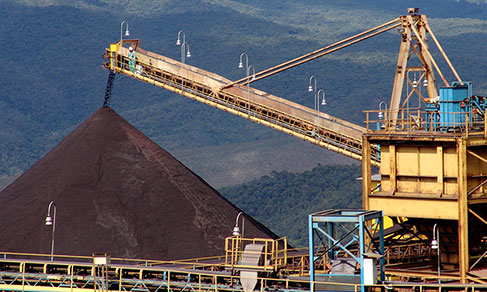
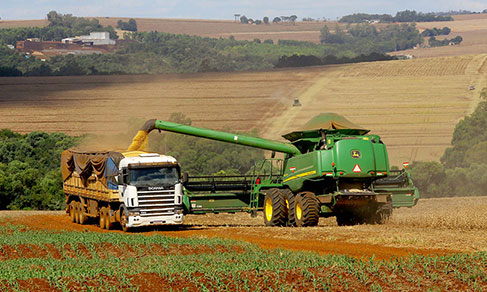
CENSUS OF AGRICULTURE
Innovative use of Artificial Intelligence techniques for agricultural mapping is published in UN manual


January 29, 2026 10h40 AM | Last Updated: January 30, 2026 11h30 AM
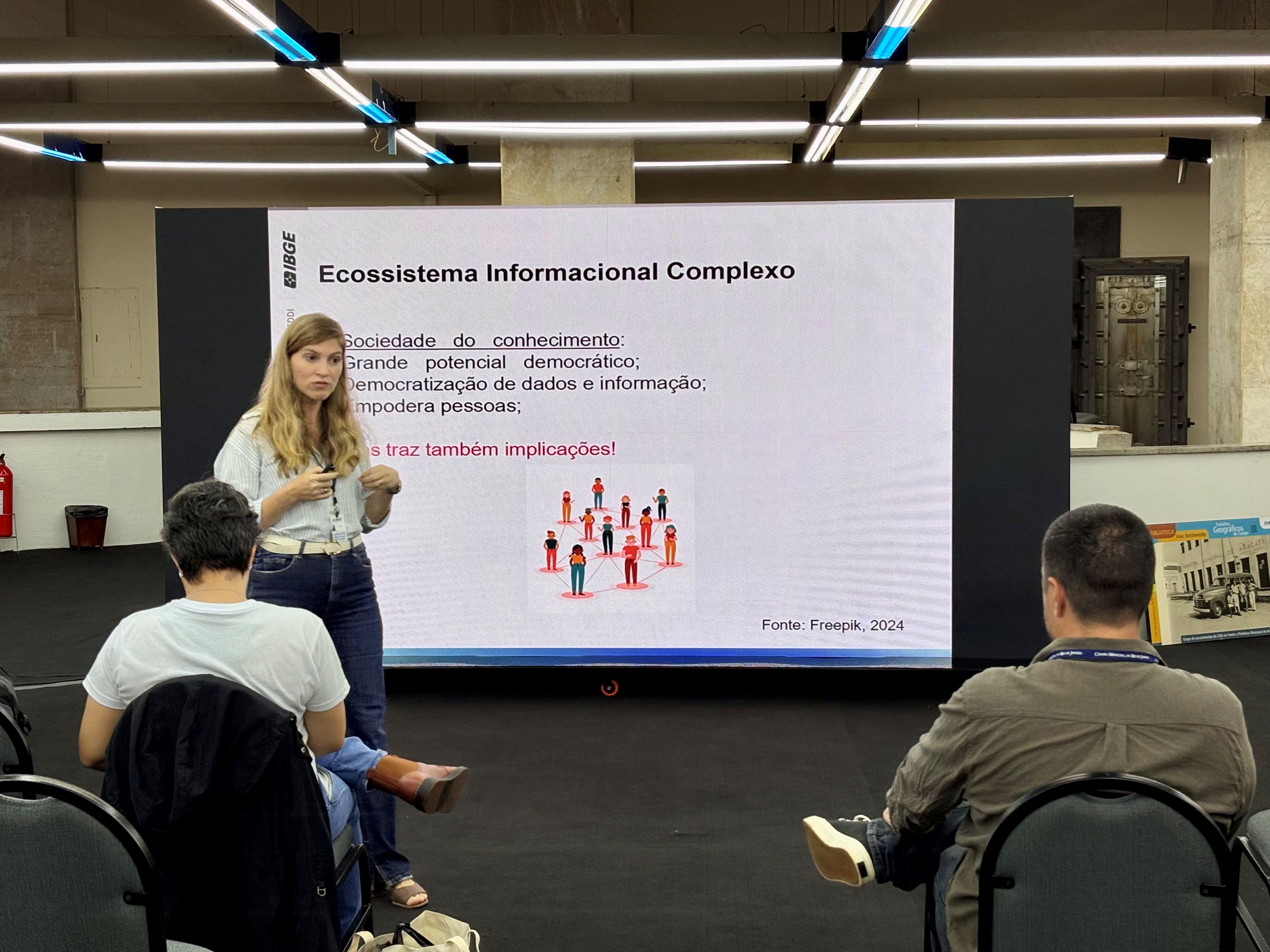
The Brazilian Institute of Geography and Statistics (IBGE) presented an innovative technology capable of automating the identification and monitoring of agricultural fields throughout the national territory. The method, which uses Artificial Intelligence and Machine Learning (ML), is part of the new UN Handbook on Remote Sensing for Agricultural Statistics, placing the IBGE at the forefront of the use of ML for agricultural statistical production. In practice, algorithms modernize the sector by delivering results that are closer to reality, with greater agility and update frequency. The work marks the IBGE's second contribution to UN publications on agricultural statistics and earth observation in the 2025 cycle.
The entire methodology was developed and implemented by the Department of Agricultural Data Intelligence and Innovation (GIDAI/COAGRO/DPE) and is published in the chapter Semantic Segmentation for Automatic Field Boundary Delineation of the "UN Handbook on Remote Sensing for Agricultural Statistics". The article is signed by the IBGE technicians Ian Nunes and Octavio Oliveira, as well as Professor Hugo Oliveira from the Federal University of Viçosa (UFV), and independent researcher Edemir Ferreira.

By using deep neural networks, the methodology developed innovates by “learning” Brazilian agricultural patterns, allowing the precise identification of continuous areas with agricultural activity. The advance eliminates dependence on manual processes, giving the system autonomy to automatically delimit plots, which are strategic subdivisions, that is, normally homogeneous areas dedicated to a single crop. Plots are the smallest units of analysis for agricultural activity in Brazil.
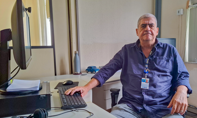
“The model is pre-trained to assimilate characteristics intrinsic to our territory, which gives it robustness. It learns to generalize complex patterns of the Brazilian landscape before it is even adjusted to the specific task of finding and designing plots. The result is a much more accurate system with lower data annotation costs,” analyzes Ian Monteiro Nunes, researcher at the IBGE and responsible for the Department of Data Intelligence and Innovation (GIDAI).
UFV professor Hugo Oliveira explains that the main role of ML in this set of consolidated databases is data processing. “Instead of relying exclusively on human experts and/or expensive field visits, the process of producing agricultural statistics benefits from the use of ML mainly by automating some tasks that previously needed a set of trained professionals to be carried out.”

In addition to high precision, Ian Nunes and Hugo Oliveira highlight that automation brings gains in scale and reduced costs, ensuring a continuous impact on territory monitoring. According to the researchers, the strategy can shorten the interval for producing official data. For Ian Nunes, this agility allows public policies to be adjusted to granular production changes as quickly as the current context demands.
Changes applied on a daily basis
In practice, the new technology will be a pillar of the 12th Census of Agriculture, Forestry and Aquaculture, enabling the collection of geospatialized data with unprecedented detail in Brazil. In addition to the census picture, the system will allow continuous monitoring of changes in land use, identifying, for example, the expansion and modification of crops. Another crucial gain is in the projection of harvests, as by accurately delimiting the planted area and crossing this data with yield models, the IBGE will be able to improve the production of statistics.
With this innovation, the IBGE now has a tool that indicates expanding areas, potential agricultural uses and directly supports the field work of regular surveys, such as the Municipal Agricultural Survey (PAM), Municipal Livestock Survey (PPM) and the Systematic Survey of Agricultural Production (LSPA).
Collective and national effort to build algorithms
The construction of the database that feeds the neural networks used by the methodology is a continuous annotation project that began 17 months ago and is only possible through a task force that involved more than a hundred professionals from almost all the IBGE Superintendencies spread across Brazil. Together, the team manually annotated more than 1.6 million polygons (agricultural fields) on satellite images. “This is a milestone for national statistical production. It is crucial to highlight that, without the massive support and engagement of the Superintendencies, it would not have been possible to move forward and obtain the results we achieved,” highlights Ian Nunes.

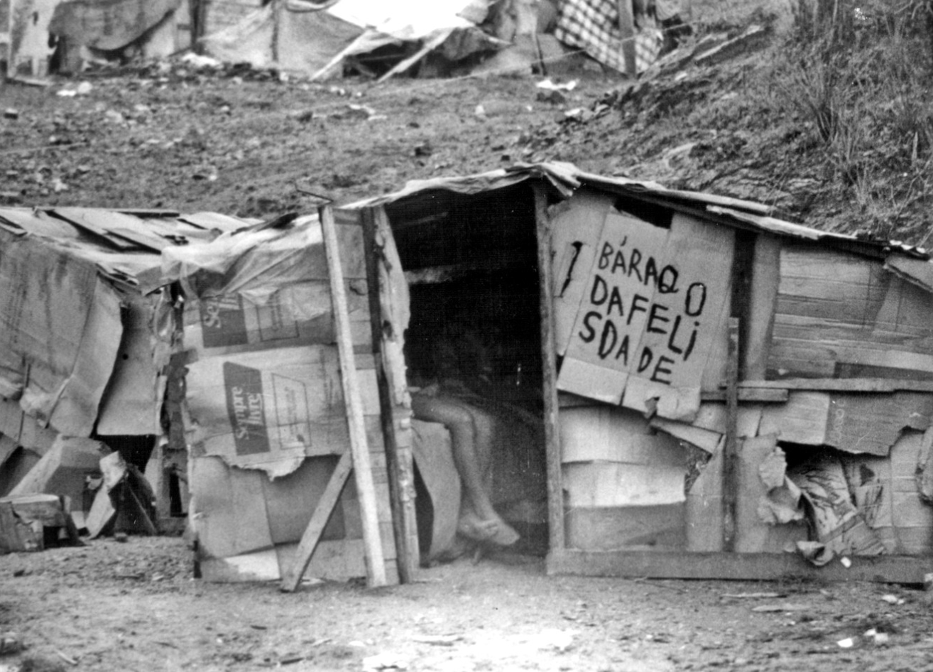
The versatility of the method goes beyond agricultural borders, making it applicable to any territorial mapping challenge, whether rural or urban. For the IBGE, technology opens new fronts: from the refined classification of land cover and use to the mapping of intra-urban green areas and the precise delimitation of favelas. There is also potential to innovate in other areas, such as demography, using the system to support population estimates in specific geographic areas.
UN publications with the IBGE participation
This is the second UN publication in 2025 that has the active participation of the IBGE technicians, reinforcing the Institute's leading role in the international statistical scenario. The current project is led by the UN Committee of Experts on Big Data and Data Science (UN CEBD) in partnership with the UN Expert Group on Rural, Agricultural and Food Security Statistics (CEAG), a direct spin-off of the Task Team on Earth Observations for Agricultural Statistics.
For Nunes, the publication in the UN manual is a recognition that the IBGE seeks the frontier of knowledge, applying cutting-edge data science to modernize and improve its statistics. “The work of GIDAI/COAGRO, based on the efforts of regional units, now serves as a case study and a practical guide for other countries seeking to incorporate Earth observation and Artificial Intelligence into their official systems. The long-term quest is to transform the way we produce agricultural statistics,” concludes him.