Mapping
With a world map and a special leaflet, IBGE presents in Macapá (AP) new eastern border of the Coastal-Marine System
August 27, 2024 06h06 PM | Last Updated: August 30, 2024 02h00 AM
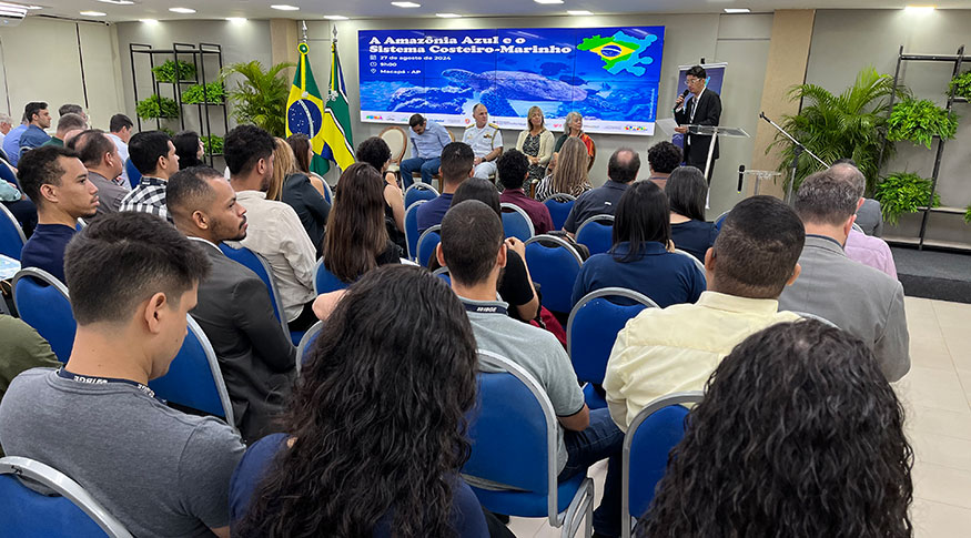
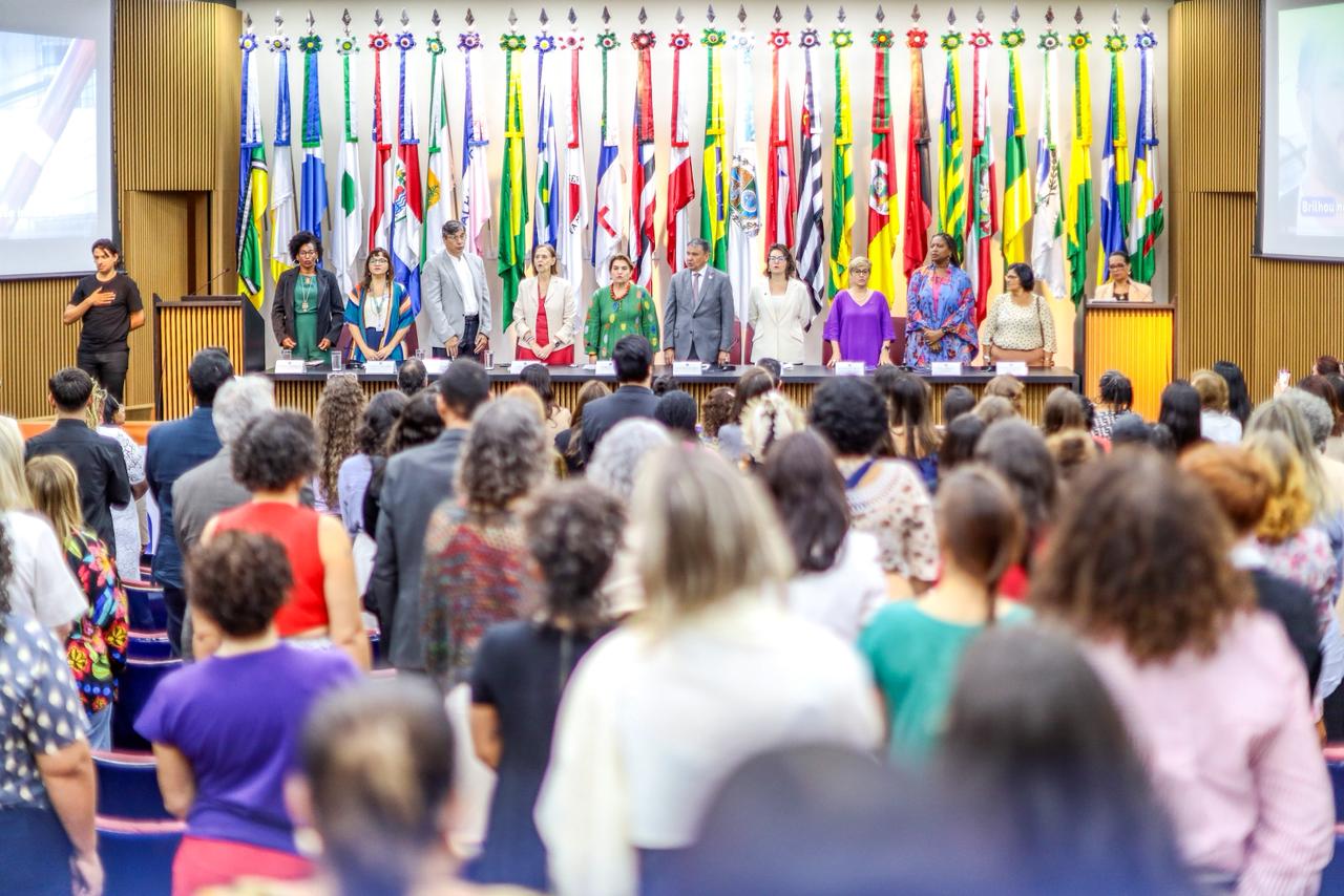
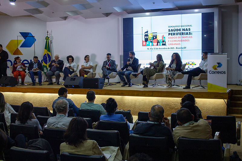
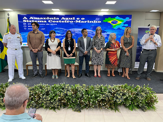
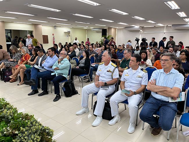
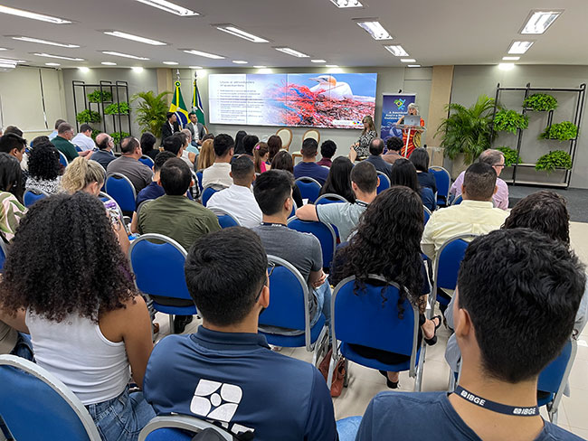
The Brazilian Institute of Geography and Statistics (IBGE) released, on Tuesday, 27, the new eastern border of the Coastal-Marine System of Brazil, in line with the Blue Amazon. The event was held downtown in the capital of the state of Amapá, and streamed online on Digital IBGE being hosted by the coordinator-general of the of the Center for Information Documentation and Dissemination and of Social Communication, who spoke to an auditorium with more than 200 attendees.
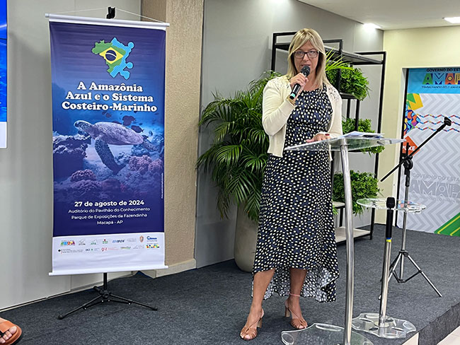
On behalf of the president of the IBGE, Marcio Pochmann, Flavia Vinhaes, executive director of the IBGE, explained that the study “is important for Brazil, for the Amazon and for Amapá, a new Eastern border of the Coastal-Marine System, the result of a project conducted in partnership by the Brazilian Navy and the Ministry of the Environment, and that represents the interest of the Presidency in developing future projects, by means of major themes, for example, about the Gross Domestic Product of the Sea (GDP), to measure the blue economy.”
Flavia also highlighted the fact that “more than half of the Brazilian population lives up to 150 km far from the coast, where 16 Brazilian capitals are located. So, activities related to the sea, such as renewable energy of the ocean, marine biotechnology, are objects of study and measurement. The coast is diverse and unequal. Brazil still has a lot to learn about the economic potential of its coast.”
At the launch a technical note was published on the IBGE website with the procedures for developing the layout of the maritime portion of the eastern border of the Brazilian Coastal-Marine System, including vector data in shapefile format and a PDF map. After the launch, a seminar was held on the System, in a joint action between the Institute and the Department of Ocean and Coastal Management of the Ministry of Environment and Climate Change, with the support of the TerraMar Project (MMA/GIZ/IKI), the Interministerial Secretariat for Sea Resources (SECIRM) of the Brazilian Navy, the State Secretariat for the Environment of Amapá and local coastal management stakeholders.
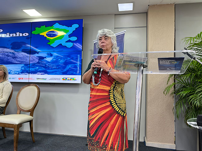
Ana Paula Prates, director of the Department of Ocean and Coastal Management at the Ministry of Environment, pointed out that she had worked “for a long time with all this vastness of the Brazilian sea territory, but it still lacked on the IBGE map, this demonstration for the society to understand and know the full size of the territory that we have under Brazilian jurisdiction. It is bigger than the Amazon itself, which is why we use the term Blue Amazon. This map is one of our greatest products that represents this moment, in partnership with the IBGE.”
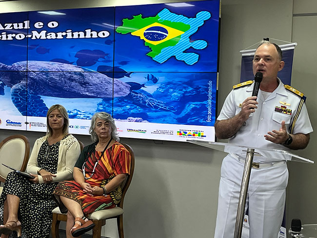
Maurício Coelho Rangel, Rear Admiral of the Navy, emphasized the work of the Navy for more than twenty years “to introduce Brazilians to the importance of the sea and the Blue Amazon. Years ago, the population only paid attention to the Green Amazon. With the IBGE and other institutes, we had the job of turning people's eyes to a region from which we can get R$1 trillion, which represents almost a fifth of our GDP.”
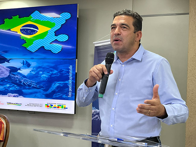
André dos Santos Abdon, CEO of the Institute of Scientific and Technological Research of the State of Amapá (IEPA), emphasized the partnership with the IBGE. “IEPA has always been a model for knowledge studies, and this is how far we've come. The IBGE provides us with this instrument of knowledge, which is extremely important in such a sensitive area, which is our coastal issue. We are seeking the cooperation of all the bodies in order to present not only this report, but the others related to the region.”
Technical team presents the new Coastal-Marine System border suitable for the Blue Amazon
The Director of Geosciences at the IBGE, Ivone Lopes Batista, the Environment Coordinator, Therence Sarti, and the head of the Biotic Environment Sector at the IBGE, Luciana Temponi, were part of the technical team that presented the new Coastal-Marine System border suitable for the Blue Amazon to those present in the capital of Amapá and to those who watched the broadcast via Digital IBGE.
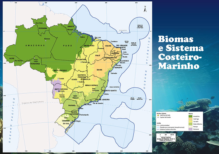
They intended to meet the expectations of different sectors of the society interested in a mapping that covers the maritime area under Brazilian jurisdiction, with the use of the Blue Amazon - a region that encompasses the sea surface, waters overarching the seabed, marine soil and subsoil contained in the Atlantic extension, projecting from the shore down to the outside border of the Brazilian Continental Platform.
That adjustment represents an increase in area of more than 4 million km2 in relation to the Map of Biomes and Coastal-Marine system of Brazil, compatible with the 1:250 000 scale, published in 2019, and that adopted as the eastern border the extension of the Great Brazilian Marine Ecosystems. However, the continental portion remained unchanged. The continental portion includes coastal environments like dunes, mangroves and sandbanks, the first features formed over the marine sediments along the Brazilian shoreline.
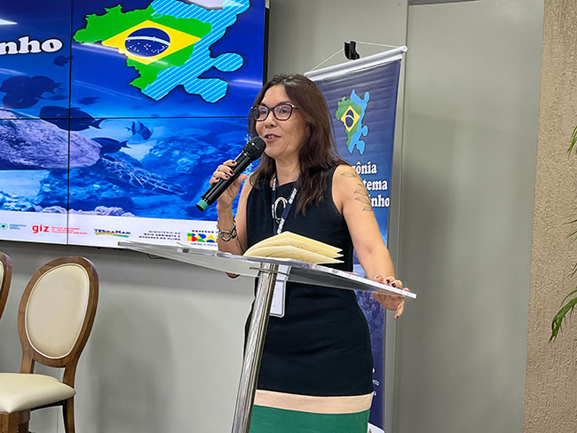
Ivone pointed out that “this new product is extremely important for the official mapping of the country. It is the coastal-marine system now integrated into the Blue Amazon, encompassing a vast territory and a wide variety of ecosystems, covering the marine area under Brazilian jurisdiction up to the external border of the continental platform. Adequate monitoring, based on official cartography, is fundamental to ensuring the preservation of these ecosystems and guiding strategic decisions in this part of the territory. This has a direct impact on our economy, security and the environment. Dissemination represents an accurate and reliable basis for territorial analysis, for delimiting protection areas and for identifying zones of economic and strategic interest.”
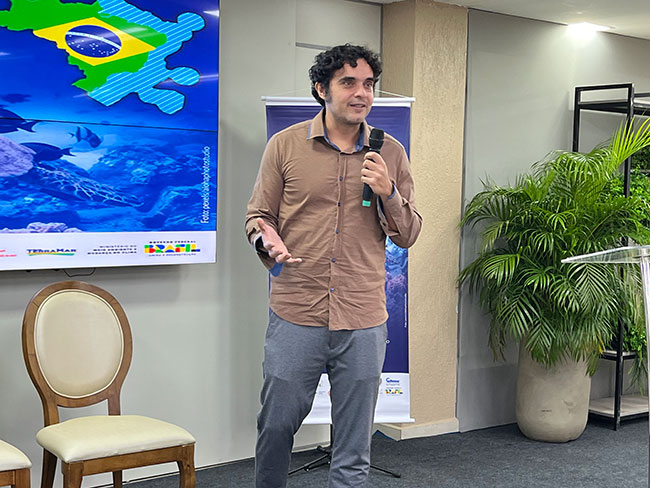
Therence Sarti, the Environment coordinator, stressed that “ it is important to have institutions such as the State Government of Amapá, the Navy and the Ministry of the Environment, and the IBGE, which is responsible for geographical and statistical information and data in Brazil. It is important for us to have this dialog with institutions about environmental data and information, because there is a huge demand for environmental data.”
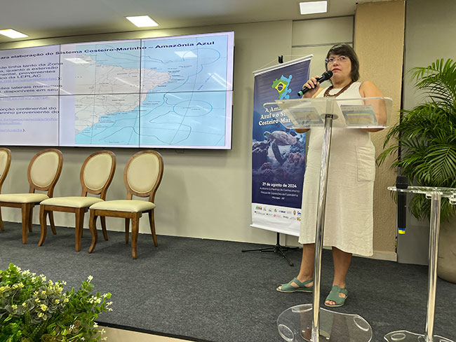
In turn, the head of the Biotic Environment Sector at the IBGE, Luciana Temponi, presented the development process of the Coastal-Marine System suitable for the Blue Amazon. Luciana emphasized that “from now on we are in line with other government and research institutions when it comes to the Brazilian jurisdictional area. This is a significant gain for Brazil, involving political and economic issues, as well as protection and conservation. With the international recognition of part of the Blue Amazon, allowing the expansion of Brazilian jurisdictional waters, and the recommendation of the Secretariat of the Interministerial Commission for the Resources of the Sea (SECIRM) on the use of this border, updating the Coastal-Marine System in the official publications of the country has become urgent”.
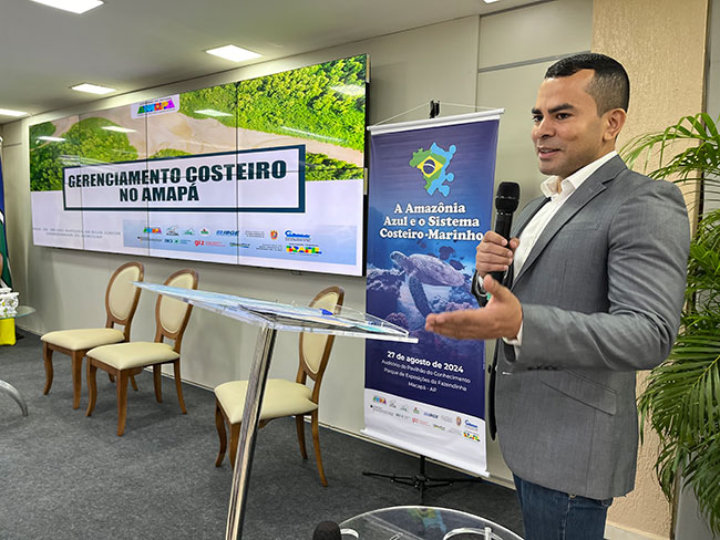
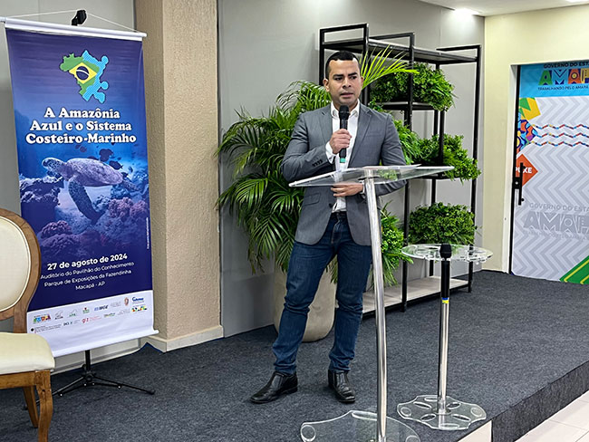
Orleno Marques da Silva Júnior, state coordinator of the Coastal Management Program in Amapá, explained that “the presence of the IBGE, the Ministry of the Environment and other bodies demonstrates how Amapá is seen at a national level and recognizes the work of our researchers in the coastal area. This illustrates how bodies like the IBGE are paying attention to our work”.
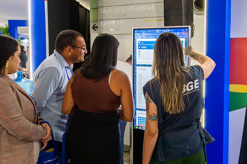
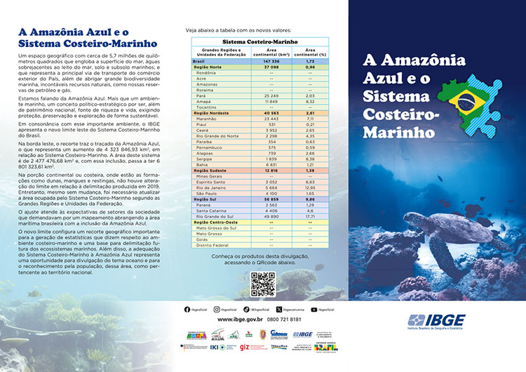
For the event, the IBGE launched a special leaflet with information on the Blue Amazon and the Coastal-Marine System, and a map of Brazil with the new eastern border highlighted.
The IBGE and the State Government of Amapá launch a world map with Amapá at the center of the world
In partnership with the State Government of Amapá, the IBGE launched a world map highlighting the state of Amapá at the center of the world. After the event, the map will be exhibited in different public places in the state. The IBGEeduca characters, Bel and Pedro, distributed these materials to those present, containing information about the state of Amapá, the Blue Amazon and information related to the Coastal-Marine System.

Educational action in a school
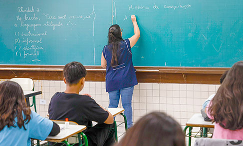
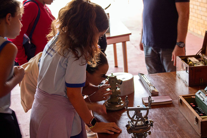
This Monday, 26, the characters Pedro and Bel, from IBGEeduca, an educational IBGE portal with updated entertaining content about Brazil, visited the O Pequeno Príncipe Early Childhood Education Center, in the center of Macapá. After visiting Rio de Janeiro (RJ) and Belém (PA), the pair brought fun and information about Brazil and Brazilians to the 4 and 5 year olds in the early childhood education segment. There were fun activities about orientation and location, and on handling the world map. Leaflets and IBGEeduca were distributed with educational activities, and the school teachers were given world maps with Brazil at the center of the projection, and copies of the 9th edition of the School Geographic Atlas from the IBGE.
Blue Amazon and the Coastal-Marine System
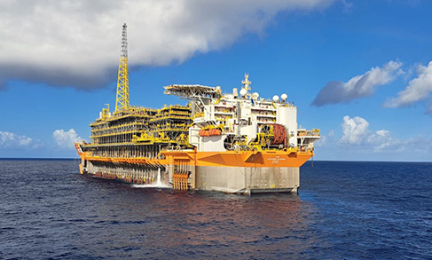
It is a geographical area of around 5.7 million square meters that encompasses the surface of the sea, waters overarching the seabed, marine soil and subsoil. It is the main transportation route for the country's foreign trade, as well as hosting great marine biodiversity and countless natural resources, such as our oil and gas reserves.
More than just a marine environment, it is a political and strategic concept because, in addition to being part of the national heritage, it is also a source of wealth and life, requiring protection, preservation and sustainable exploration and exploitation.
On the eastern border, the outline shows the Blue Amazon, which represents an increase of 3,323,856.93 km² in relation to the Coastal-Marine System. The area of this system is 2,477,476.68 km² and, with this inclusion, it now has 6,801,323.61 km².
The new border represents an important geographical division for generating statistics on the coastal-marine environment and a basis for the future delimitation of marine ecosystems, and the adaptation of the Coastal-Marine System to the Blue Amazon represents an opportunity to make the population aware of this area as belonging to national territory.
Watch the full video of the launch of the eastern border of the Coastal-Marine System adapted to the Blue Amazon:


