Cartography
IBGE releases manual, contributes to standardize geographical names


July 17, 2023 10h00 AM | Last Updated: July 18, 2023 04h07 PM
Highlights
- The Geographical Names Collection Manual aims at meeting the demands of mapping producers, schools, universities and public and private institutions.
- Geographical names are proper names used to refer to a place, a feature or specific areas
- like villages, neighborhoods, mountains, watercourses, hospitals and sacred places.
- The publication details each step of the collection according to recommendations of the United Nations Group of Experts on Geographical Names (UNGEGN).
- It is also a Manual to be used at international level, and its release is expected by several Portuguese-speaking countries, since it will contribute to the work carried out in the scope of the Division of Portuguese-Speaking Countries, of the UNGEGN.
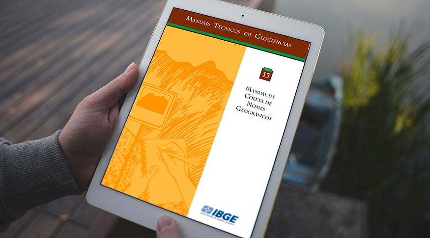
The IBGE released today (17) the Geographical Names Collection Manual, which details the methodology developed and used to collect place names. Based on the experience of IBGE technicians in mapping campaigns occurred in different times and places of the Brazilian territory, the Manual aims at providing a consolidated and approved methodology to mapping producers, schools, and public and private institutions, as well as to any researcher who would like to develop Toponymy projects.
Geographical names are proper names used to refer to a place, a feature or specific areas. Some examples are names of states, municipalities, villages, neighborhoods, mountains, watercourses, hospitals and sacred places.
“The primordial use of geographical names is of reference and identity. It is how people organize and communicate the organization of the space. It is where you live, where you take the bus, to where you traveled last week, all these questions are answered with geographical names. If they were answered with geographical coordinates, the doubt would remain. Geographical names are a solid reference and of general knowledge, so they allow an easy reference and communication. A good example is Dedo de Deus Peak, which stays in Órgãos Mountain. The peak is a feature that differs from the mountain for having a name. If it didn´t have a name, it wouldn´t be perceived as a different element from the mountain and we wouldn´t refer to it in a particularized way. The perception of the peak as a distinguished feature is communicated by the geographical name,” explains Ana Cristina Resende, an IBGE researcher of the Coordination of Cartography.
The researcher warned that “in order to benefit from the entire potential inherent to geographical names, however, misunderstands in the identification of features and in the recovery of the information contained therein should be mitigated, saving time and money by increasing the operational efficiency at all levels of government, industry, trade and education.”
Resende adds that large activity areas whose efficient operation depends on the coherence of naming places, like manufacturers and users of land, air and maritime navigation systems. Because geographical names are the major tool used to search information on places on the web and in the Spatial Data Infrastructures (SDIs) of countries and geospatial information systems in general. Statistical offices that base their population censuses and social surveys on named populated places also benefit from this.
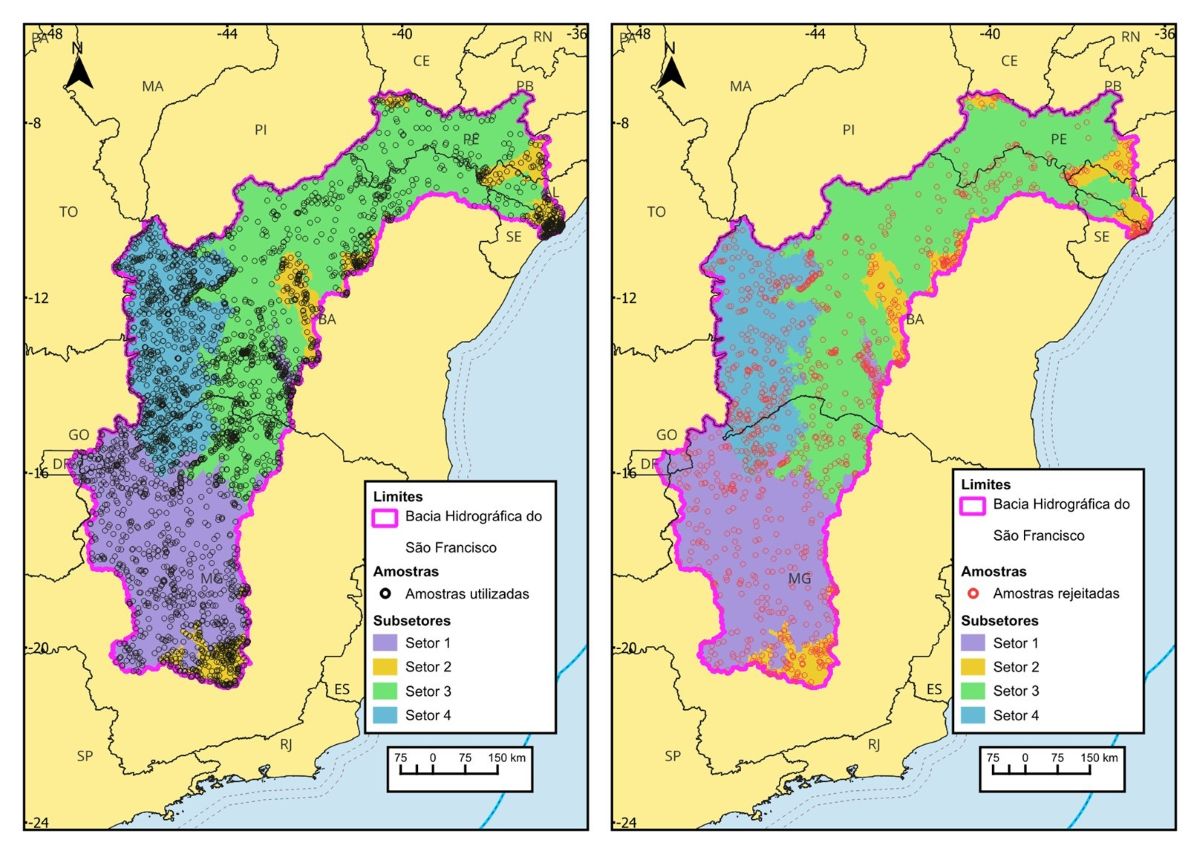
“Recently, indexes of geographical names were used to subsidize the delimitation of the enumeration areas for the 2022 Census. Geographical names are not less important to law and order authorities, such as police, Armed Forces and emergency services, such as firefighters and ambulance networks, air and maritime rescue teams and humanitarian aid agencies, which need to respond quickly to incidents somewhere. Geographical names also stand out in the control of natural disasters. The corporate world also benefits from precise geographical names in developing brands, especially the Geographical Indications,” completes her.
At the international level, the Manual will be used by several Portuguese-speaking countries, contributing to the work carried out by the Portuguese-Speaking Division of the United Nations Group of Experts on Geographical Names (UNGEGN), currently co-chaired by Brazil, represented by the IBGE.
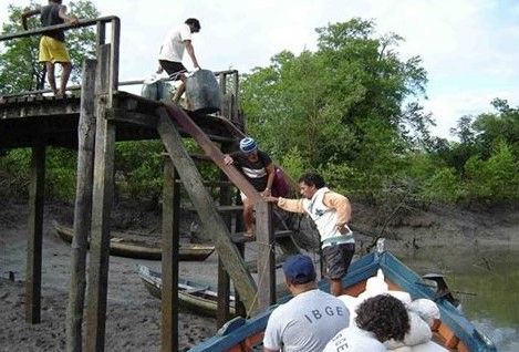
Comprising a detailed guide of the steps of the collection of geographical names, from the preparation phase, to field activity, until the consolidation of the work, the Manual clearly shows the importance of each step according to the recommendations of the UNGEGN, which defines official name as the name locally and currently used. Samples of documents collected by IBGE field teams illustrate the publication, which streamlines the understanding of the guidelines and allows a better visualization of the expected results.
“The best source to know the local and current use is, naturally, the place itself. Some names can be collected in the office, yet smaller places and less significant features have the field as the source, for geographical names are dynamic, they can be changed. In addition, the names should be standardized, including their spellings. One way to reach such standardization is to search for the motivation of the names. An example is Água Suja River, which refers to its improper water; if it was written Água-Suja, with a hyphen, it would be a reference to confusion, misunderstanding. These stories are found in the field,” analyzes the researcher.
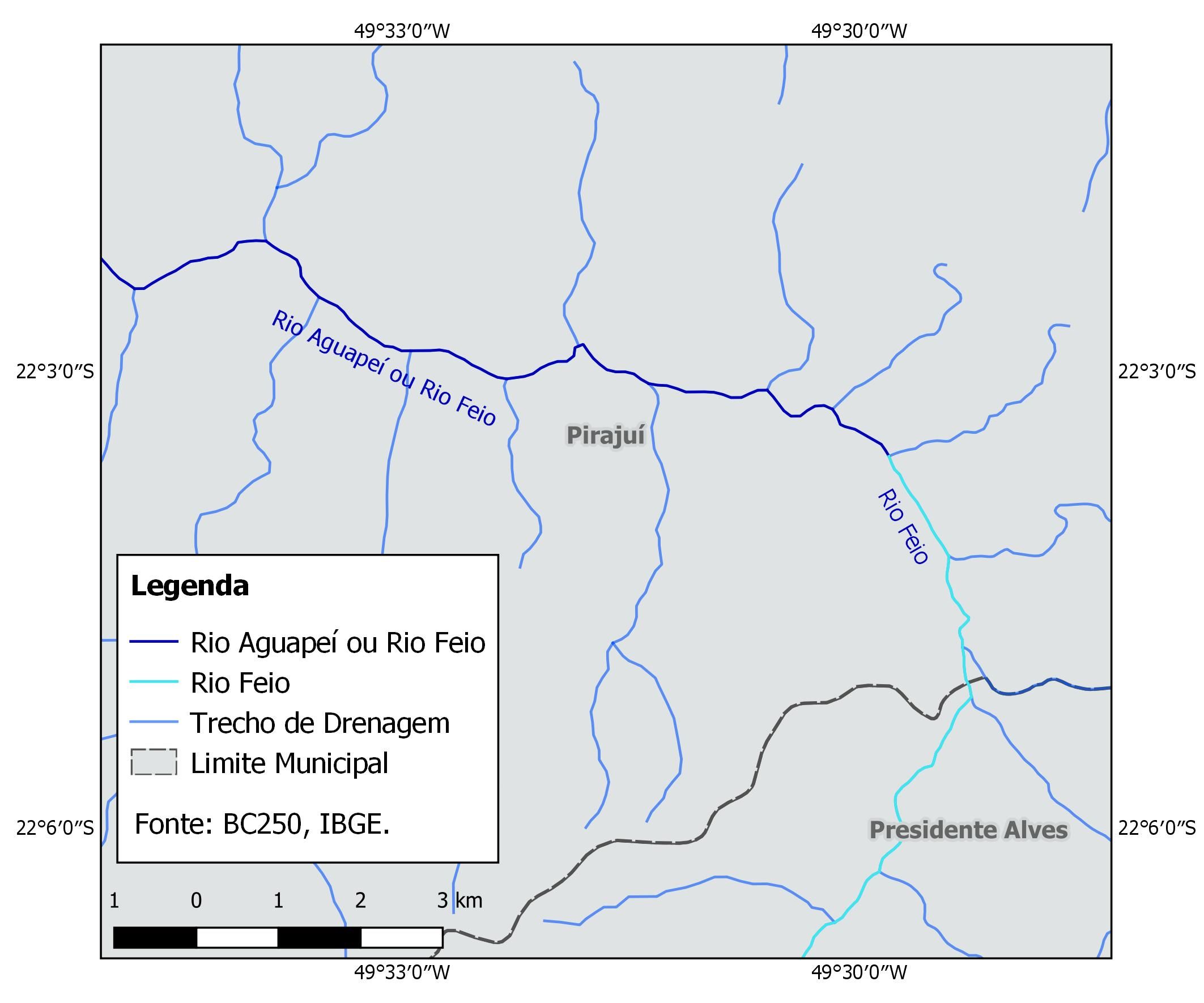
Some features are recognized by more than one geographical name, like, for example, Rio Grande Mountain or Cristais Mountain, in the municipality of Diamantina (Minas Gerais). In these cases, both names are adopted to name the feature, without any value judgment. Whenever features are created by law, even if the geographical name established in the law or in the border description is not found in the field anymore, it should be kept as the main one.
“In cases of varying names, the name in the creation law comes first, followed by ‘or’ and the name by which it is unofficially known. It is always followed in cartography when it comes to features cited in border descriptions between administrative units. For instance, a river name, which might have a name in the law, but might be locally known differently. It is important to indicate both names, not to lose the intention of the legislator to cite the name to define the border nor to cause confusion in the local population, which might know the area differently,” points out Resende.
The guidelines proposed in the Manual can be applied on any type of project, on any organization and knowledge area, and they are independent of digital resources.