Regional integration
New map will contribute to public policies in South America


March 28, 2018 09h00 AM | Last Updated: June 05, 2018 10h42 AM
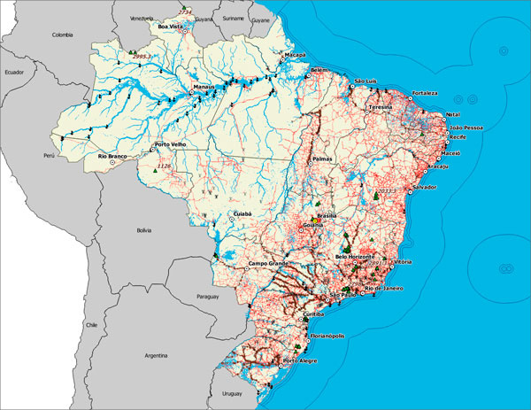
The Pan American Institute of Geography and History (PAIGH), together with all 12 South-American countries, besides French Guyana, will launch in the 1st half of 2019 the first Integrated Map of South America (MIAS). With information on geographic and administrative borders, rivers, urban areas, highways, railways and relief, MIAS will compose a joint cartographic network of the continent.
In Brazil, the IBGE is the body responsible for the coordination of the project. According to the geoprocessing analyst of the Institute, Rafael Balbi, the joint effort of producing a single map of the continent derives from a demand for international integration in the social, cultural, economic and political areas.
"Nowadays, even cartography non-experts need that kind of technology, as in localization apps. Besides, the scale 1:250,000 [each 1 cm of the map corresponds to 2.5 km], which provides a wealth of details, will facilitate public police making, resource management and regulation that will trespass the administrative boundaries of a country", he says.
After its conclusion, the MIAS will be made available by means of WMT/WMTS, an open digital platform for the sharing of spatial data. This way, information will be put in the Internet for free visualization and consultation.
Size and number of borders make Brazil's participation crucial
According to Rafael, MIAS will be further integrated to the maps of Central America and North America, therefore, resulting in a Pan American map, the same way it happens with the Integrated Map of Europe. To do so, he emphasizes the importance of the IBGE for the project to succeed.
"Brazil plays a fundamental role in the conception of this project, because, besides occupying more than 60% of the continent, it also borders almost all countries. The IBGE was a natural choice of the PAIGH as it is, together with the army, in charge of the country's cartography, having, as a matter of fact, produced a map on that very same scale."
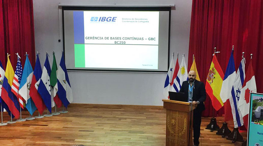
Rafael Balbi, in his presentation in the first meeting of MIAS, held in Asunción, Paraguay
Since the beginning of the project, meetings were held in Asunción, Paraguay (2016), in Rio de Janeiro (2017) and in Montevideo, Uruguay (2017), where the work due dates were set out. The next meeting will be in Santiago, Chile, from May 14 to 18 of 2018.
The PAIGH is the same institution that developed and launched in 2016 the Integrated North Andean Map, including Bolivia, Colombia and Peru. In addition to being a collaborative project gathering all South-American countries, it has the support of the Development Bank of Latin America, the coordination of the National Center for Geographic Information, in Spain, and the technical support of the United States Geological Survey.