Retratos Magazine
Citizen from Brasília crosses the country and reaches the four most extreme points
May 21, 2018 09h00 AM | Last Updated: June 05, 2018 11h02 AM
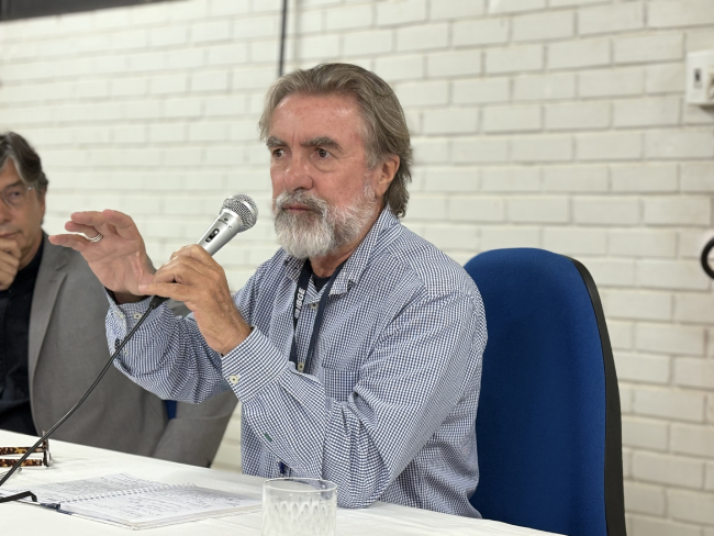
A tourist walks down the Ponta do Seixas beach, in João Pessoa (PB), is in the easternmost point of the Brazilian territory. Another one, who takes pictures in the Chuí stream, a small river located in the border between Rio Grande do Sul and Uruguay, can post in the social media evidence of having visited the southernmost point of Brazil. However, finding tourists taking a selfie in the westernmost point (next to Moa river spring) or in the northernmost point in the Caburaí Mount (in Roraima) is less probable, since it is not easy to reach those places. That's what tells us Leonardo César Osório Meirelles, from Brasília, 52 years old, real estate manager who pulled off the feat of visiting the four extreme points of the country.
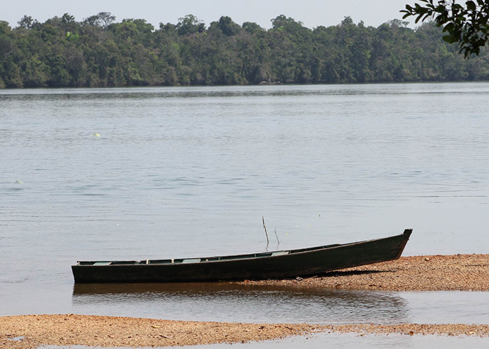
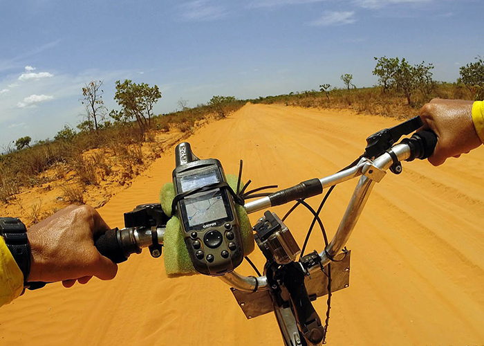
In 2014, Leonardo left Caburaí Mount, crossed nearly 6,200 km and reached the Chuí stream. In 2016, he left the Moa river spring and went to Ponta do Seixas, finishing a 5,800-km route. In both cases, he was either on foot, riding a bike or a kayak, with the help of a car to transport a tent, food and equipment.
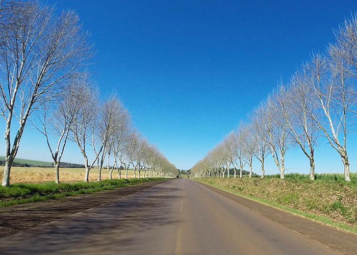
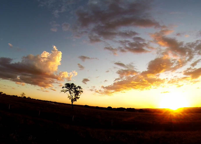
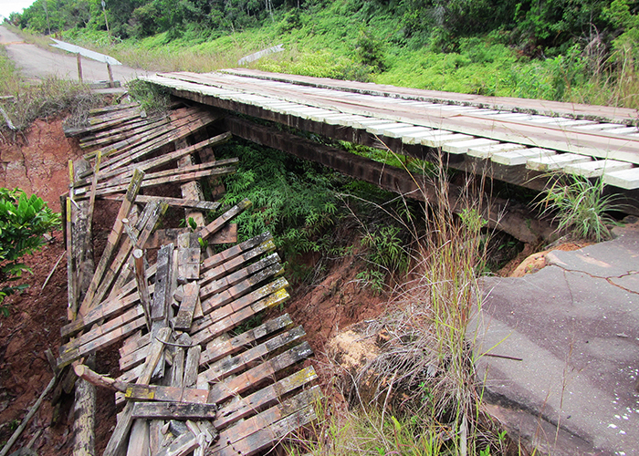
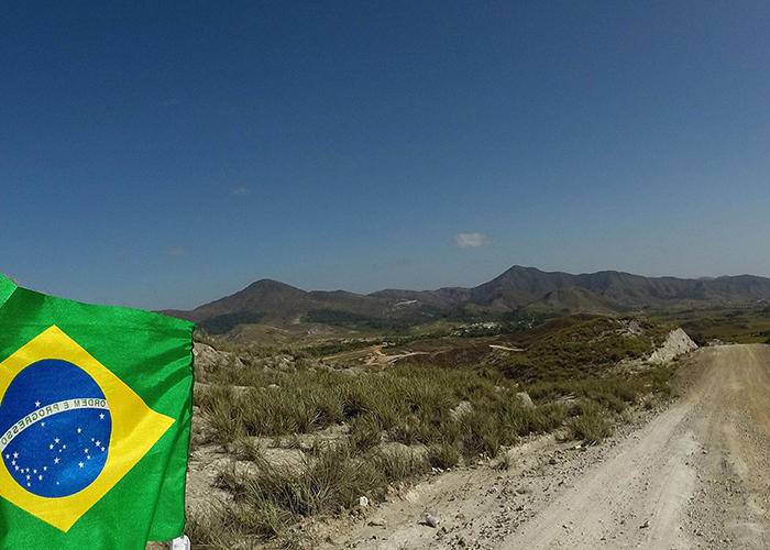
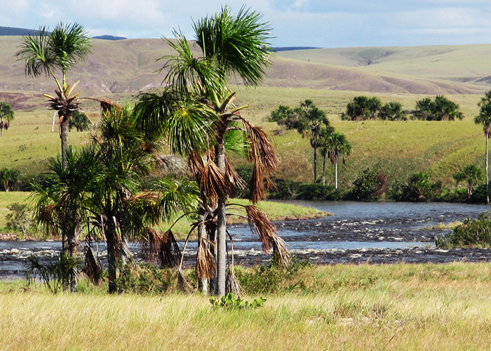
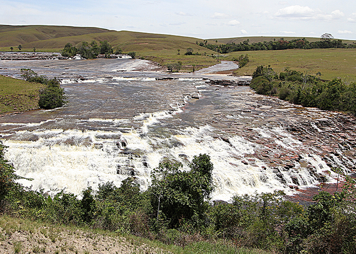
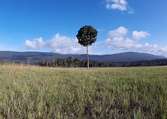
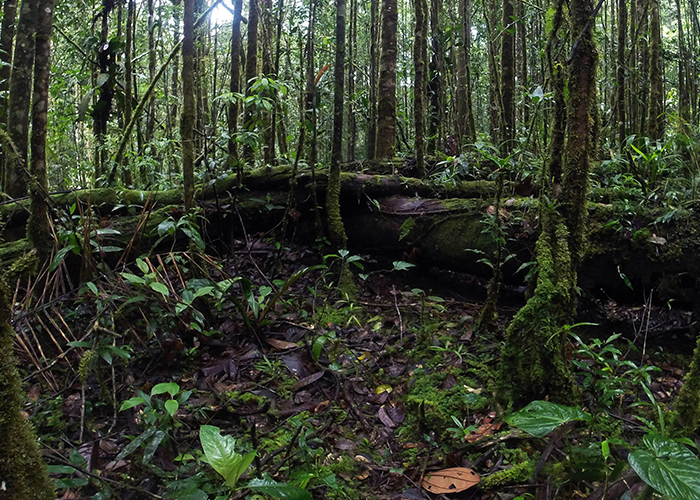
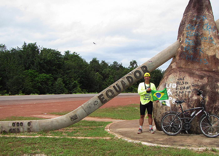
Altogether, it took a hundred days in the West-East way and 120 in the North-South way, including the rest stops. According to him, the greatest challenge was to get ot the extreme point located in Acre, because the way to the Moa river spring, in the Contamana mountain range, is full of abysses, canyons, wild animals and dense vegetation. To reach that point, he studied the routes, traced the coordinates, and hired people to help him carry food and equipment.

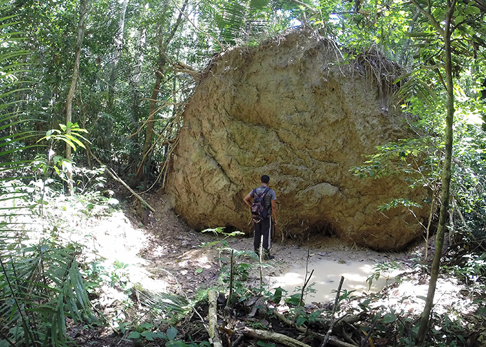

In the Caburaí Mount (RR), it was not different. He went through several Indian lands and went forward on foot into the woods up to the border between Brazil and Guyana, where lies the mark that determines the northernmost of Brazil – which was so acknowledged in 1998.
It was then that an official mission made by the Brazilian Commission of Border Delimitation, a body of the Ministry of Foreign Affairs, together with the Army, the IBGE and representatives for the Guyana government, went to Caburaí Mount to confirm what Brazil knew to be true since 1933: the northernmost point of Brazil is not at the Oiapoque (AP), but at the Caburaí Mount, in the municipality of Uiramutã (RR), as explained in the video below:
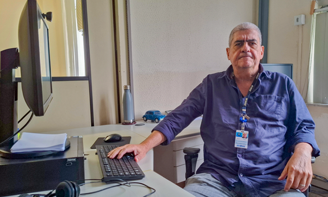
“Since the Empire, everybody knew that the extreme point was in Caburaí. The missions from Brazil and from Portugal could not get there, but to the Oiapoque they could. So, a convention of the coastal extreme points (Oiapoque and Chuí) was established”, explains Carlos Alberto Castro Junior, manager of Geodesy and Cartography at the IBGE, in Goiás.
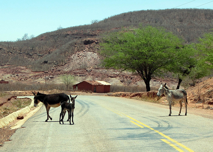
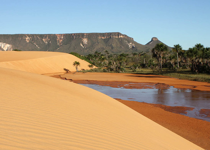
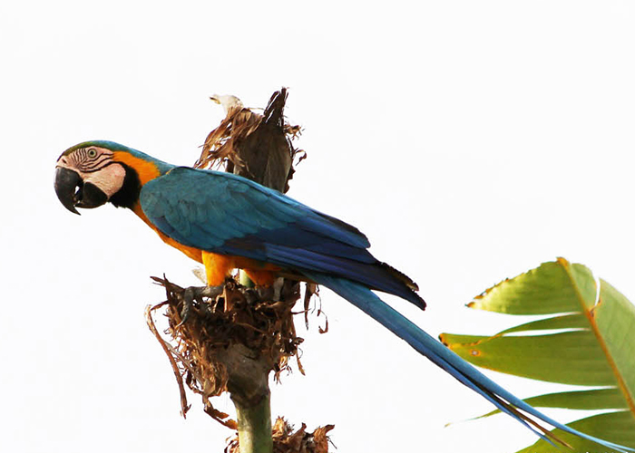
To register the adventure, Leonardo fixed a camera on his chest which took a picture every minute. The result is a collection of 60 thousand photos and 60 hours of videos covering the whole route, everything synchronized by GPS, with date and hour. “I've seen a lot in those thousand miles. I found the Cerrado beautiful and loved the meeting of the waters of the Negro River with the Solimões River. I got very upset by the deforestation, with the great number of animals hit by cars and the precarious conditions of the roads”, he declares.


