IBGE discusses Spatial Data Infrastructure in Symposium in Rio de Janeiro


October 16, 2024 01h28 PM | Last Updated: October 17, 2024 10h36 AM

Beginning on Tuesday, October 15, the Brazilian Institute of Geography and Statistics (IBGE) carries out the IV Brazilian Symposium on Spatial Data Infrastructure (SBIDE). The seminar will close next Friday, October 18, with the theme "Smart Spatial Data Infrastructures (SDIs) for governance and public policies," in partnership with the University of São Paulo (USP), Federal Fluminense University (UFF) and Federal University of Paraná (UFPR), gathering producers and users of geospatial information and data from public and private institutions, academia and any public interested in SDIs.
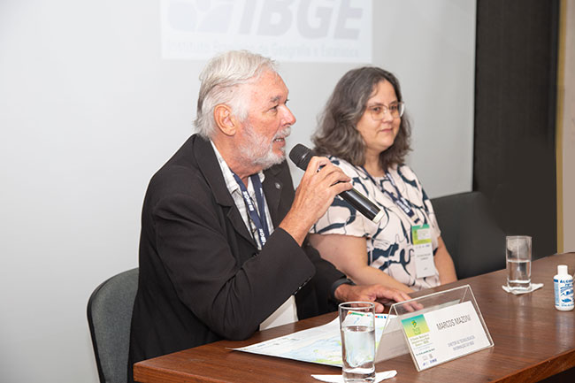
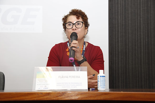
Geospatial information and data governance were the themes of the opening session of the event, being the IBGE represented by Ivone Lopes Batisita, Director of Geosciences, and Marcos Mazzoni, Director of Information Technology. Flávia Pereira, Under-Secretary of Territorial Planning and Infrastructure Programs of the Ministry of Planning and Budget (MPO) and Silvana Camboim, Professor of the UFPR, also participated in the opening session.
Ivone Lopes highlighted the IBGE commitment with innovation and sustainable development, as well as with the efficient use of technologies to create solutions that foster welfare for our society. "The National Spatial Data Infrastructure (INDE) is an strategic tool to manage public policies, use of resources and to better understand our territory and natural resources," stated the Director of Geosciences.
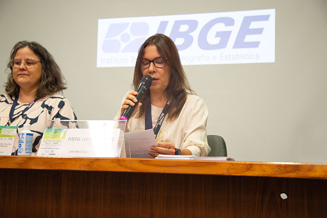
Ivone Lopes Batista, IBGE Director of Geosciences, and the IBGE commitment with innovation and sustainable development - Picture: Marcio Costa/IBGE News Agency
For Mazzoni, the event brings "a transversality of knowledge, which builds the participation process. All of us have the chance to participate and build different points of view for an information structure that will serve for the next steps of open data in platforms that can be accessed by any type of information system, regardless of an exclusive technology."
He was followed by Flávia Pereira, who highlighted the search for resumption of the National Cartograph Commission (CONCAR) with the IBGE and other federal offices. "The Secretariat of Planning and Economic Affairs (SEPLAN) aims at strengthening INDE with the IBGE, including the resumtion of this important commission under a new format, taking into account the updating and modernization of its operation," explained the MPO representative.
For Silvana Camboim, from the UFPR, INDE "is a dream built 16 years ago, comprising a very heterogeneous network of different institutions and academic environments. The theme this year was chosen as it is understood that these data are internalized in the public governance and public policies only make sense if they are territorialized in order to hit right places with right actions.

Past, present and future of the SDI
Rafael Lopes, Coordinator General of Demarcation of the Federal Properties Management Office (SPU), presented the use of geo-information in the SPU, as well as the history of data governance and geospatial information in the office. "Everything began with the institution of the Cartography Commission (COCAR), which established the guidelines and bases for the Brazilian Cartography and made other provisions in 1967 On the other hand, CONCAR was created in 1994 under the scope of the Secretariat of Planning, Budget and Coordination of the Presidency of the Republic," explained Rafael Lopes.

Lopes also talked about the current context of governance of these data and that desired for the future. "Today we have important news like Big Data and Artificial Intelligence. It is important to restructure the governance with a sound model, engaging actors, with investment, rules and policies, in-line initiatives, data protection, as well as the presence of partnerships, a good legislation and the management of risks," said the Coordinator General of Demarcation of the SPU.
First day of the Symposium has poster session
In the afternoon, scholars from different parts of Brazil presented posters of their researches. Altogether, 12 projects related to geospatial data were presented to the public, like the poster "Knowing my municipality through INDE: a proposal of university extension," produced by Deivide Soares, Professor of the course of Geography of the Federal University of Pernambuco. "The representation of the Geographical Space based on the use of geo-technologies is an extremely relevant tool for the studies of Geography, with useful applications both for research and teaching, as well as for extension," said Soares.
More about INDE
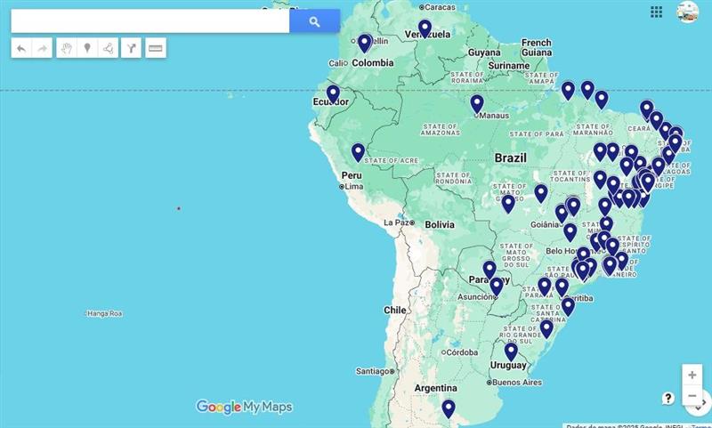
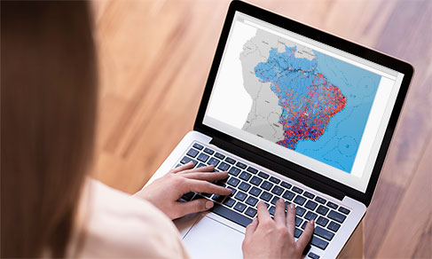
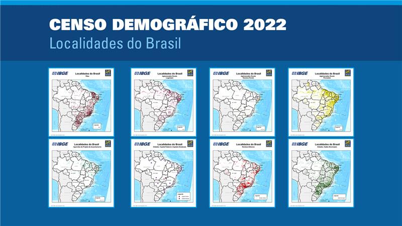
The National Spatial Data Infrastructure (INDE) was created through Presidential Decree no. 6.666, of November 27, 2008, completing 16 years in November 2024. INDE is conceived as an integrated set of technologies, policies, mechanisms and procedures of coordination and monitoring, standards and agreements, in order to streamline and collate the production, storage, access, sharing, dissemination and use of geospatial data by citizens and public and private organizations.
It became an open and democratic management tool that allows to process geo-information in different areas, supporting the planning, monitoring and assessment of public policies. The IV SBIDE aims at balancing the academic and corporate contributions under the domain of the Spatial Data Infrastructures (SDIs), either introducing or improving practices and driving actions, aiming at expanding and improving INDE and at developing multiple dimensions of treatment and management of geo-information. The theme this year aims at highlighting the use of artificial intelligence and governance in the SDIs for public policies.
The IV SBIDE will be a mixed event, corporate and academic, to promote synergy between the academia and different instances of the Federal, State and Municipal Government, as well as the private sector. This event aims at presenting, discussing and promoting the exchange of knowledge and experiences in technological issues, the state of the art of the implementation of SDIs, rules and standards, national and international, as well as instructions for adhering to INDE and initiatives of development and research related to INDE.