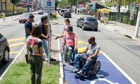
Municipal maps
Maps show changes in boundaries of 261 municipalities


March 25, 2019 10h00 AM | Last Updated: March 26, 2019 06h27 PM
The IBGE has updated, today, the maps of 261 municipalities which had changes in their areas and boundaries between May 2017 and April 2018. The changes in the municipal boundaries have an impact on the number of residents of those locations, since changes cause some regions to be part of neighboring municipalities, with subsequent relocation of residents.
The updates also affect studies and demographic changes, such as population estimates, calculated by the IBGE. “As the territory is better seen, our portrait of Brazil is improved every year. That has an effect on the number of voters, services and in the population, in general”, explains the IBGE's Coordinator of Territory Structure, Roberto Tavares.
The state with most updated municipalities was Santa Catarina, with140 boundary changes. Tavares explains that there are technical cooperation agreements with most states and, in the case of Santa Catarina, these changes depart from a revision made by the state government.
Besides the cartographic adjustments by the states, changes can be effected because of new state laws. Technological advances also lead to the improvement of identification and representation of municipal areas.
The IBGE highlights that, although the maps are used as a reference for several activities performed by public and private institutions, and by society in general, the institute is not in charge of territory definition and demarcation: “The IBGE aggregates information on territory boundaries”, Tavares highlights.
Digital municipal mapping of the country is updated
The IBGE has also released the Digital municipal mapping of Brazil of 2018, a group of digital files with the political-administrative representation of the states and municipalities in the country. A geoprocessing software is needed to access and work on this material.
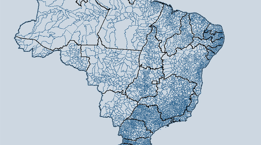
In this edition, the mapping brings improvement to the boundaries of reference coastline and of rivers, based on the best cartographic inputs available, besides the update of the border between the Federal District and Goiás.