Cartography
IBGE updates Continuous Cartographic Base of Brazil at scale 1:250,000


December 07, 2023 10h00 AM | Last Updated: December 11, 2023 06h34 PM
Highlights
- Cartographic Base of Brazil at scale 1:250,000.
- Updated by the IBGE every two years, it is a fundamental set of geospatial data for territorial planning, monitoring and management.
- Among the improvements in the new version is the addition of new layers of information (airport complexes/name index), connectivity adjustments in the drainage section class, completeness of classes such as signaling (representation of buoys and lighthouses) and cemeteries;
- This product enables thematic mapping of population, geology, vegetation, soils, natural and environmental resources, among others.
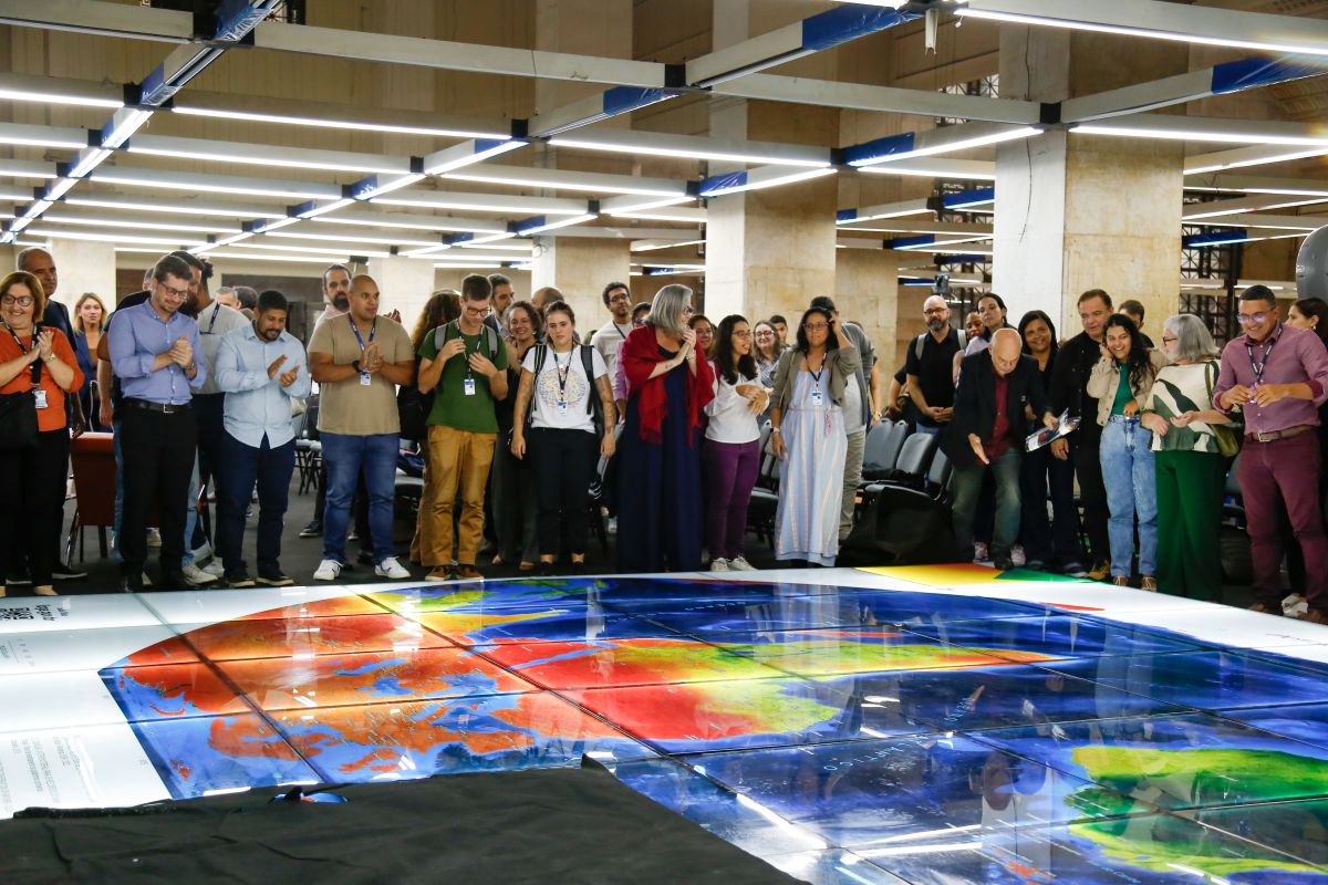
IBGE launches today (7) a new version of the Continuous Vector Cartographic Base of Brazil at scale 1:250,000, which will be 10 years old. This is the sixth launch of the BC250, updated every two years since 2013.
The Cartographic Base offers an overview of the territory and serves as a reference to support territorial planning, monitoring and management actions, enabling thematic mapping of the country's population, geology, vegetation, soils, natural and environmental resources, among other topics.
“Since 2014, the BC250 has been part of the Permanent Update Program (PAP). During this period, it was possible to develop methodological improvements, quality control inspections, incorporate new inputs and review acquisition parameters” explains Rafael Balbi, geoprocessing analyst and Continuous Bases manager at IBGE.
The 2023 version of BC250 was produced from satellite images covering the entire national territory, from data produced by other IBGE surveys and research and from data from partner bodies, which allowed the updating of several information contained in the version launched in 2021.
Among the improvements in this sixth version are topological quality control edits, completion of mandatory attributes according to data modeling, a major effort in adjusting the connectivity of the drainage section layer, to enable integrated visualization of the country's drainage network. In addition, some classes with non-homogeneous distribution in previous versions were complemented, such as signaling and cemetery.
As a whole, the product includes classes of 13 categories of information: Energy and Communications, Economic Structure, Hydrography, Borders and Locations, Relief, Transportation System, Transportation/Airport System, Transportation/Pipeline System, Transportation/Railway System, Transportation/Waterway System, Transportation/Road System, Base Classes of Topographic Mapping on Large Scales and Culture and Leisure.
This version also presents a new layer, called Name Index, where it is possible to locate, through their geographic coordinates, all the names of the features that make up the base, represented by dots.
Built in accordance with current standards, the base is compatible with the precision requirements of the National Cartographic System (SCN) and adapted to the standards and norms of the National Spatial Data Infrastructure (INDE). The data is structured according to the conceptual model of the Technical Specifications for Structuring of Vector Geospatial Data, Version 3.0 (ET-EDGV 3.0).
“Over these 10 years, what we can notice in this ‘data collection’ is its characteristic of continuous improvement. The base has always evolved both in quantity and in quality in its cartographic representations”, adds Mr. Balbi. He explains that the product is intended for any user of Geographic Information Systems and Geographic Databases (BDG).
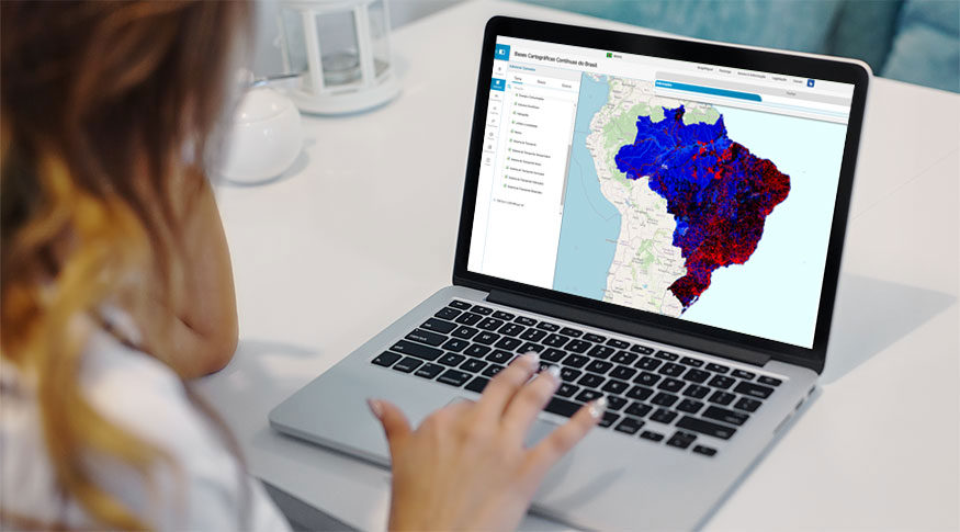
The BC250 is available in free formats (shapefile, geopackage and PostGis dump), for use in Geographic Information Systems, and can be accessed here and through the IBGE Interactive Geographic Platform.
More detailed information about the base can be found in the technical documentation of the product, available here. The 2023 version of BC250 can also be accessed through the INDE Geoportal and its metadata can be found in the IBGE Metadata Catalog.
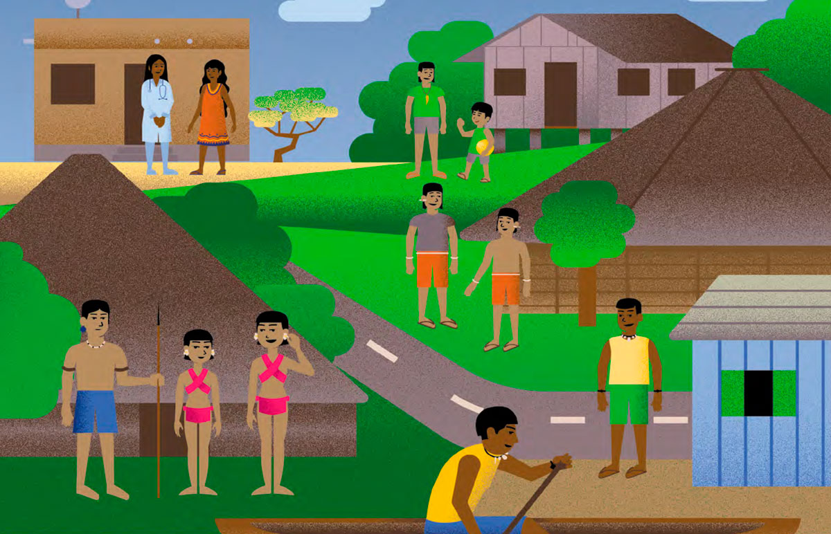
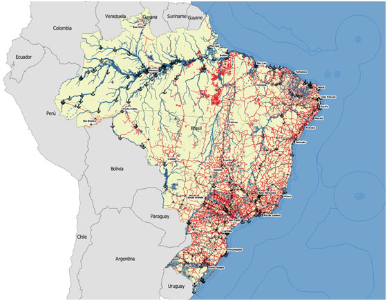 Simplified overview of the Continuous Cartographic Base of Brazil at scale 1:250,000 - Continuous Cartographic Base of Brazil