IBGE updates Brazilian Profile of Geospatial Metadata


May 19, 2021 10h00 AM | Last Updated: May 19, 2021 01h00 PM
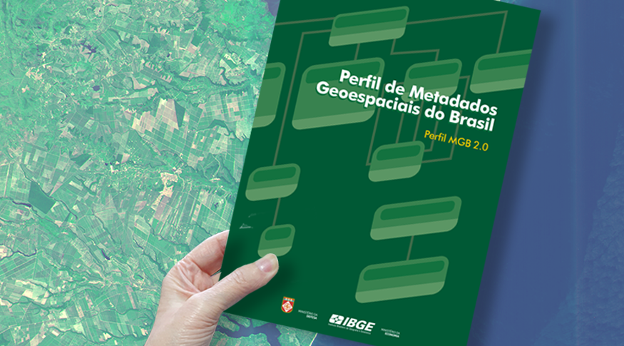
The IBGE launches today (19) the new version of the Profile of Brazilian Geospatial Metadata - Profile MGB. Developed in partnership with the Brazilian Army, the update meets the most recent international regulation of reference, the ISO 19115-1:2014. As a result, Brazilian geoinformation producers count with a document with the most up-to-date standardization of geospatial metadata.
The metadata are key to record and catalog any information, and can be translated as "data about data". For example, they correspond to the whole set of information related to the surveying, production, quality and structure of storage of data, key to provide their documentation, integration and availability, as well as to allow their search and exploration.
The product released today aims at standardizing the geospatial metadata available in the National Spatial Data Infrastructure - INDE, which aims at cataloging, integrating and harmonizing the data produced by or maintained and managed by Brazilian governmental institutions, including ministries, universities, regulatory agencies and others.
"The 2.0 version of the Profile MGB is the result of a joint effort between the IBGE and the Army´s Directorate of Geographic Service - DSG, carried out since 2019," explains Taís Virgínia Gottardo, an IBGE technician. The INDE´s metadata catalog currently counts with more than 40 thousand metadata of sets of data, services and maps, highlighting the participation of the IBGE, DSG, Air Force Cartographic Institute - ICA and Managing and Operational Center of the Amazon Protection System - Censipam. "This figure can be even higher, as other institutions adhere to INDE," complements Gottardo.
This updated version includes the diagrams of the metadata packets of the Profile MGB, as well as the updating of the data dictionary, codelists and examples of metadata documentation. The XML schemes corresponding to the templates of the up-to-date Profile MGB will be available on the INDE portal <https://inde.gov.br/>, for use by the Brazilian geoinformation community.
The Profile MGB version 2.0 will enter into force 60 days after the publication. From then on, all the geospatial metadata produced in Brazil and made available through the Brazilian Directory of Geospatial Data should follow the new standard in order to be accepted as valid in the scope of INDE – which will not jeopardize the metadata already released in accordance with the previous regulation, the 2009 Profile MGB.