South America
Use of geospatial technologies updates Brazilian borderland strip (2)


March 27, 2019 10h00 AM | Last Updated: March 28, 2019 10h42 AM
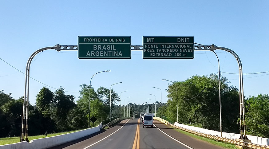
With the aid of a group of modern geospatial technologies, the IBGE has updated the length of the border strip that connects it with South American countries. That national security area is 1.4 million km2 large and covers 16.6% of the Brazilian territory.
The border strip is 150 km wide and has an extension of 15.9 mil km alongside neighboring countries. A total 588 municipalities are part of it: 432 entirely within the strip limit and 156, partially.
Most municipalities in the border strip area located in southern states: 196 in Rio Grande do Sul, 139 in Paraná and 83 in Santa Catarina. Other 121 municipalities are out of the border strip, for example Guajará Mirim (RO), Porto Murtinho (MS) and São Borja (RS), located on the borders with Bolivia, Paraguay and Argentine, respectively.
“The recent updates have been made in the south border, mostly, in the section that goes from Uruguay up to Bolivia, due to a series of improvements in the border, without necessarily meaning a change in the territory of one country or another. These adjustments result from the improvement of the equipment used, for example, satellite images that allow the magnifying of areas”, says Roberto Tavares, IBGE's Coordinator of Territory Structure.
In order to effect those changes together with the 10 countries on Brazilian borders, the IBGE seeks advice from the Boundary Demarcation Commission from the Ministry of Foreign Affairs, which is in charge of the demarcation and characterization of Brazilian boundaries. The update of the east end of the strip is the result of efforts made by the IBGE state and local branches aiming at gathering information on new municipal boundary figures.
“The IBGE looks at the country as a whole. We count on our state and local branches to obtain the information we need”, Tavares explains.
The current measurement has been based on the Geocentric Reference System for the Americas (SIRGAS2000) and the areas were calculated by means of geoprocessing. The IBGE had already calculated the borderland strip in 1941, making use of technologies available then, such as the planimeter.
IBGE releases list of 280 municipalities facing the sea
Besides the borderland strip, the IBGE has released a list of 280 municipalities facing the sea. The material also brings territory areas and the coordinates of municipal headquarters.