United Nations´ Regional Hub
Enrollment open for webinar on collaborative geo-information


December 02, 2021 02h00 PM | Last Updated: December 06, 2021 02h49 PM
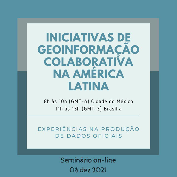
Initiatives of Collaborative Geo-information in Latin America is the subject of the webinar that will be held next Monday (6), at 11AM. The meeting will gather experts and researchers of the continent that also work in the area of participatory cartography and VGI (Volunteered Geographic Information).
The event is coordinated by the United Nations´ Regional Hub for Big Data in Brazil, headquartered in the National School of Statistical Sciences (ENCE), the academic arm of the IBGE.
The webinar will foster the sharing of knowledge and contribute to the development of a community of experts and researchers in the countries of the region. It also aims at streamlining the interchange of information and at contributing to the discussion on the use of new data sources and technologies.
According to Rafael March, IBGE´s coordinator of Geomatics, “it will be an opportunity for experts involved in VGI initiatives and projects to gather, share experiences and knowledge and develop a community that fosters innovation in the production of official geographic and statistical data.”
Enrollment can be made here. Simultaneous translation will be provided for Spanish, English and Portuguese.
Regional Hub and collaborative geo-information
Resulting from an initiative of the United Nations´ Department of Economic and Social Affairs, the Regional Hub for Big Data of the United Nations´ Global Platform was launched on November 23 in the XI Statistical Conference of the Americas, virtually carried out by the Economic Commission for Latin America and the Caribbean (Eclac).
The project aims at fostering the cooperation of the statistical offices in Latin America and the Caribbean, in order to contribute to the advance in the use of Big Data and Data Science in the modernization of the production of official statistics in the region.
The webinar Initiatives of Collaborative Geo-Information in Latin America is inserted into this perspective. It is about the use of digital tools to collect, analyze and share geographic information provided by individuals.
“Recent improvements in digital communication tools, coupled with Big Data techniques and methods, unprecedentedly leveraged VGI,” states Renata Curi, IBGE´s cartographer and co-organizer of the event.
According to March, VGI also allows to receive contributions from many people, provide quick answers to local requirements and be more extensive, in time and space, than traditional approaches. “However, there are barriers for the extensive adoption of VGI concerning the production of official data by national mapping offices, like concerns with data quality, incomplete representation and others,” concludes him.


