SINGED Lab
IBGE launches new SINGED Lab area with information about municipalities affected by the floods in Rio Grande do Sul
July 12, 2024 06h29 PM | Last Updated: July 23, 2024 10h09 AM
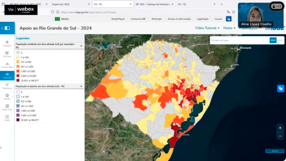
This Friday, the 12th, the Brazilian Institute of Geography and Statistics (IBGE) launched, in live event broadcast by the IBGE Digital (ibge.gov.br), a new area on the SINGED Lab website with information that will help municipalities in Rio Grande do Sul affected by the floods.
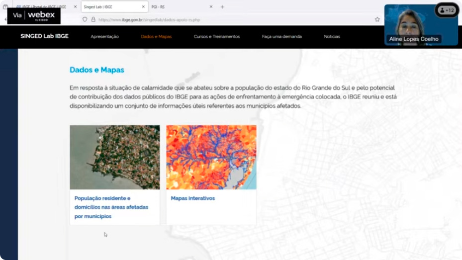
In this area of SINGED Lab, users have access to data such as the total population, households and establishments within the affected areas as set by city halls, state bodies and the federal government. They will also have access to a list of addresses and geographic coordinates within the polygon of the affected areas. Through the SINGED Lab, IBGE's innovation laboratory, the data will integrate a platform developed by the Directorate of Geosciences (DGC) together with the Directorate of Surveys (DPE) and other areas of the Institute.
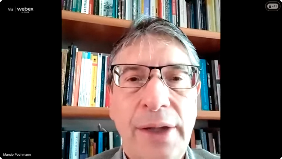
“Amidst so many difficulties, the IBGE continued making the necessary collections to proceed with the survey, taking into account what happened in Rio Grande do Sul”, stated Marcio Pochmann, president of the IBGE. “In this public disclosure, the Institute has something to present to Brazilian society, especially to the people of Rio Grande do Sul and their authorities responsible for rebuilding better bases for Rio Grande do Sul. Our job is to offer the best information so that decision-makers can make informed decisions based on reality”, highlighted Mr. Pochmann.
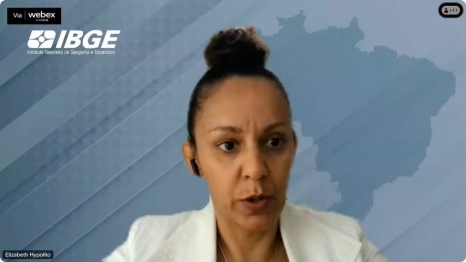
Elizabeth Hypólito, Director of Surveys, highlighted that “this is one more stage of all these services that IBGE has been providing to society, in the face of this calamity that occurred in Rio Grande do Sul. We brought together the Directorate of Surveys with the results of the Census, the Directorate of Geosciences, the Presidency with the operational coordination of the Census and the IBGE Superintendency in Rio Grande do Sul, all of them together to disseminate information such as the population of the affected area, location of households. Today we make it available to all municipalities, not just to those that requested it from us, on a page that provides broad access and guarantees equality and transparency of the work carried out”.
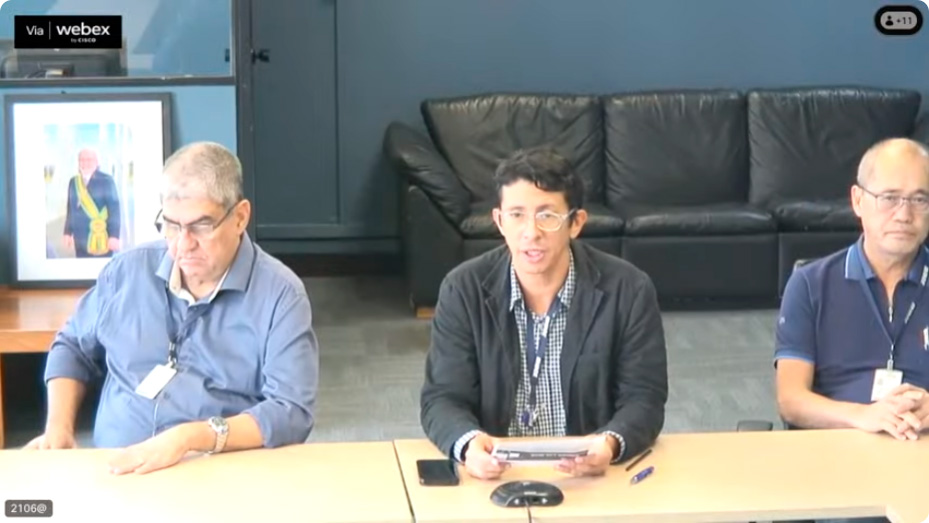
Daniel Castro, Coordinator of the Center for Information Documentation and Dissemination and of the Social Communication (CDDI CCS), who moderated the presentation, highlighted that “SINGED Lab involves the technical areas of the agency and is formed by an interdisciplinary team with objective of generating projects for the diagnosis and planning of public policies to help rebuild cities affected by floods in the state of Rio Grande do Sul.” Mr. Castro recalled that in June, “more than 200 managers, students, teachers, independent professionals, members of civil society organizations and municipal and state public agents participated in the two SINGED Lab online training classes designed to help the affected cities.”
Technical team presents the tools of the new SINGED Lab area
Aline Lopes Coelho, Manager of Geoinformation Production Integration, presented the tools and ways to access the data presented, such as interactive maps that take the user to the Interactive Geographic Platform (PGI), a tool used to disseminate IBGE geoscience products and to monitor enumerators for the 2022 Census. In the PGI, users can view the population residing in the affected area, with sections by municipality, enumeration areas, favelas, Indigenous lands and Quilombola territories.
“We have developed this PGI aimed at Rio Grande do Sul with the aim of showing this data that we provide to the claimants, but also presenting information that we consider useful for these recovery actions in Rio Grande do Sul”, said Ms. Coelho.
The platform, using data from the National Address File for Statistical Purposes (CNEFE) of the 2022 Census, allows users to view the locations affected by sections: private or collective household, agricultural establishment, teaching establishment, health establishment, religious establishment, for other purposes or under construction . “The IBGE selected, from the affected areas provided to us, all the households located on the highlighted spots and we recorded all the data [for these sections]”, explained Ms. Coelho.
It is also possible to view the most affected municipalities and areas of the most affected cities on the maps. Users can download maps in .png, .shapefile, .csv and .kml formats. As an example, the technician selected municipalities with at least 30% of their areas affected. “When the user clicks on “Filters”, they will have access to the entire database. It is possible to export to .csv format and make selections such as the percentage of population residing in the affected areas”, explained Ms. Coelho.
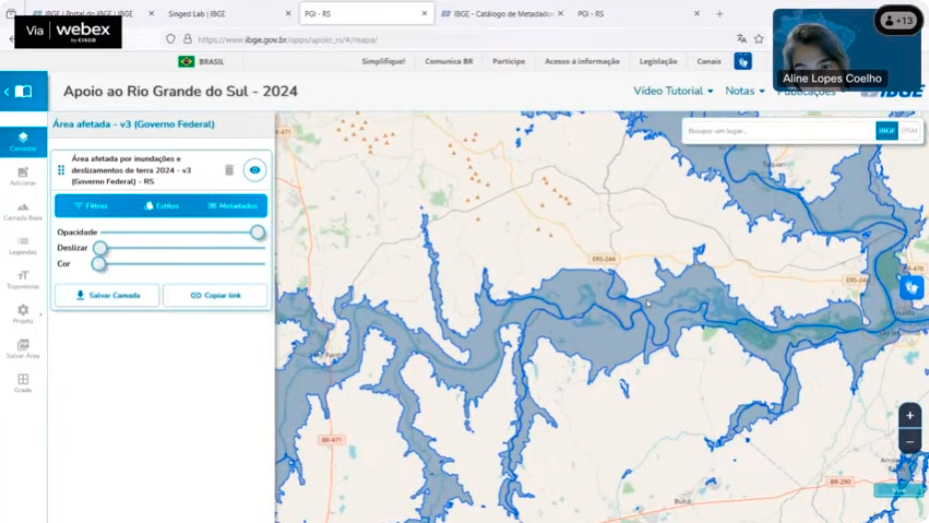
Finally, the Manager of Geoinformation Production Integration illustrated ways to overlap information with any other service from any other institution that contains geospatial data, such as the Spacial Data Infrastructure (IEDE) of Rio Grande do Sul State.” Users can access any institution that is part of the Brazilian National Spatial Data Infrastructure (INDE). Users can check this service, anything that the state of Rio Grande do Sul makes available, they can check it on this same platform and view information overlapped”, concluded the Manager.
More about SINGED Lab
Formed by an interdisciplinary team, the SINGED Lab of the IBGE aims at generating projects for the diagnosis and planning of public policies, in order to assist in the reconstruction of cities affected by floods in the state of Rio Grande do Sul.
More than 200 managers, students, teachers, independent professionals, members of civil society organizations and municipal and state public agents participated in the two classes of SINGED Lab's online training, held on the 3rd and 7th of June, among other actions of the IBGE task-force created to assist in the recovery of affected cities in Rio Grande do Sul.


