Mapping
Block-Face Database grows 31% from 2010 to 2021
December 15, 2022 10h00 AM | Last Updated: December 16, 2022 04h45 PM
Highlights
- This database is a digital representation of the addresses of the country's municipalities.
- It is used by the IBGE to plan and carry out the collection of the Population Census and other surveys such as the Continuous National Household Sample Survey (PNAD) and the Consumer Expenditure Survey (POF).
- When compared to the version made available in 2010, the 2021 version brings a 31% increase in the graphic lines of representation.
- Municipalities, logistics companies and those involved in the production of map routes over the Internet are potential users of the product.
- All geospatial data are in SHP format (shapefile), for use in different geographic information systems.
The IBGE launches today (Dec 15) the 2021 Block-Face Database in digital format. The product consists of the graphic representation of the lines that symbolize the streets of urban areas, of urban extension and of the largest rural agglomerations of the Brazilian municipalities. In addition, there are integrated references to street addresses and to the block and face coding system, including type, title and name of the street, among other details that the IBGE uses to plan and carry out its household surveys and censuses.
The new version presents a 31% increase in the lines that make up the base compared to the 2010 publication.
The Block-Face Database is fully updated at each Population Census and, in the intercensal period, it undergoes a continuous and cumulative process of specific updates according to the progress of surveys and specific campaign actions carried out by the IBGE. The product associates enumeration areas to the Mesh of Enumeration Areas of the same time and in line with the political-administrative division of the Municipal Mesh of Brazil.
This is the third time that the base has been made available independently of a Population Census or Census of Agriculture. Because it is an intermediate product (published between census operations), it does not include statistical information on types of households, nor does it present the same degree of updating that a Population Census collection stage enables.

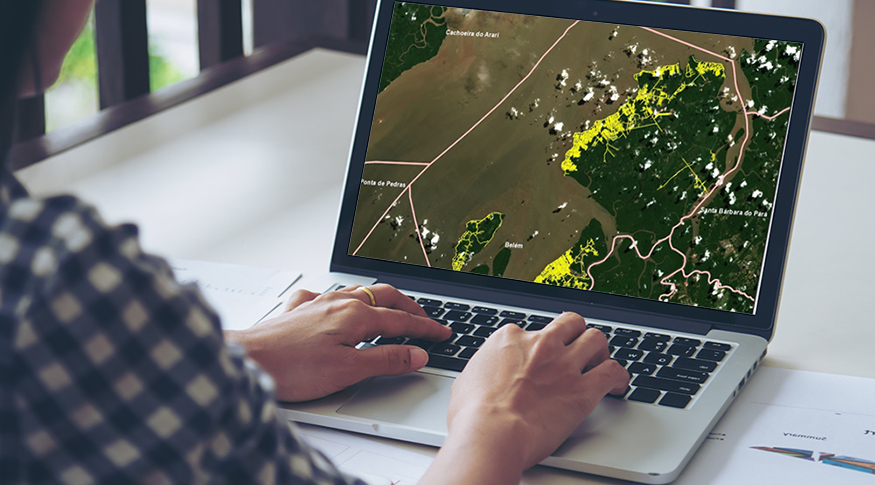
The Block-Faces Database is fully updated with each Population Census - Photo: Art on mockup
“This version brings a 31% expansion compared to 2010, with a structure of 13,854,986 line segments corresponding to the block-face areas in the occupation zones of Brazilian municipalities. It translates IBGE's effort, even in the face of the pandemic period, to keep up with the growth of urbanization in cities, towns and villages, regardless of the information contained in the municipalities", explains IBGE's Data and Services Infrastructure manager, Mr. Diogo Nunes.
Even with the changes in the working strategies due to the Covid-19 pandemic, the process of remote observation of orbital or orthorectified aerial images available was expanded, seeking to identify areas of expansion and changes in the infrastructure of municipalities. The objective was to outline the block-faces of the addresses, making them compatible with the alignment of the spots relative to the aforementioned reference images, that is, to create better conditions for visual detailing and georeferencing of the geometry of the sections of the road network.
For use in different geographic information systems, all geospatial data are in SHP format (shapefile). This information can be used by city halls, logistics companies, in the preparation of map routes over the Internet and in analyses that require geospatial components.
Despite the evolution of the work processes used by the IBGE teams in recent years, some data presented may still contain imperfections and details varying between scales from 1:5,000 to 1:25,000. When dealing with them, users must be aware of these observations.


