Revista Retratos
São Francisco River enables strategic connection between Major Regions in Brazil
November 27, 2018 09h00 AM | Last Updated: November 27, 2018 05h57 PM
From its spring, at the highest spot of the National Park of Canastra, in Minas Gerais, up to the Atlantic Ocean, on the border between Alagoas and Sergipe, São Francisco River traverses 2,700 kilometers and brings water and life to the semi-arid region. Along that path it also crosses the states of Bahia, Pernambuco and Goiás, in a total 507 municipalities and strategically lionking the Southeast and Northeast Regions of Brazil.
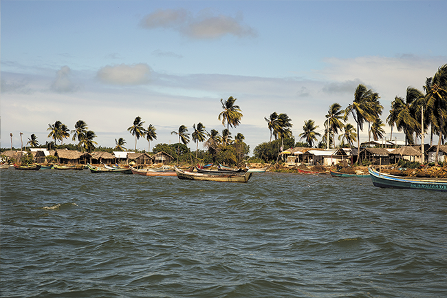
For many generations, those waters have been the possibility of making a living for a number of fishermen and boatmen. On the river bank, agriculture and livestock make great strides in development. Vegetation and the ore extracted from the soil also foster local economy. On the Velho Chico(*) bed, there are electricity plants - Três Marias, Sobradinho, Paulo Afonso, Itaparica and Xingó - which supply the whole Northeast Region and part of the state of Minas Gerais.
The very many possible ways of using the natural resources which characterize the São Francisco River Basin undoubtedly generate riches, but also cause environmental problems to the same extent. Defeorestation, Desmatamento, soil degradation, silting of rivers, pollution, water scarcity and damages to fishing and navigation are some of the consequences of the uncontrolled and little sustainable use of those resources.
Climate drawbacks damage life in the river
The São Francisco river basin has one of the lowest precipitation levels in the country, a problem that has grown worse and has caused great damage in the last few years. Data from the National Meteorology Institute (Inmet) show that the annual distribution of rain in the Northeast Region decreased significantly between 1990 and 2017. As a result, since the middle of the 1990's the flow of São Francisco has been below the average in history. That causes trouble in the generation of electricity - as in Sobradinho, for example, which accounts for 58% of the electricity used in that region.
Although the dams built on the São Francisco are the bases for the generation of clear energy (without the emission of polluting gases), those constructions changed the natural course of rivers and the dynamics of life in them. According to Anivaldo Miranda, president of the Comittee for the São Francisco River Basin (CBHSF), besides making silting processes worse, the construction also affects navigation. As for fishes, data from the National Center for Research and Conservation of Continental Water Biodiversity (CEPTA) show that eight species living in the river are endangered because of the same problem.
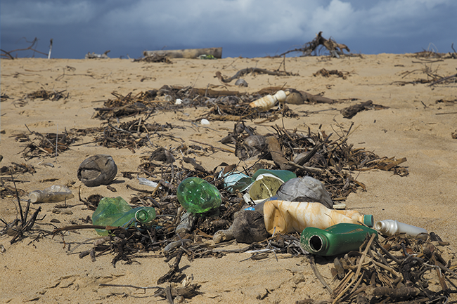
Old Chico turned into a dump
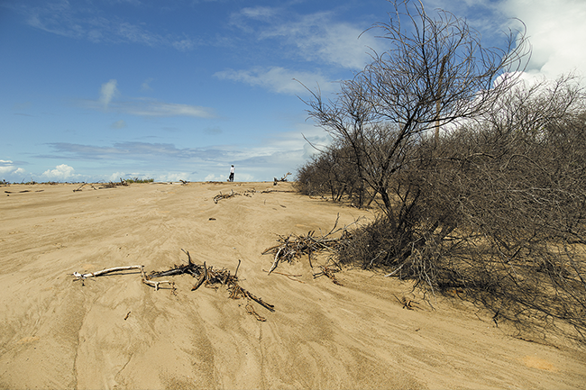
Environmental problems are also seen anywhere around the São Francisco. The removal of riparian vegetation. located on river banks, and of parts of the Cerrado and forest is one of the most damaging human actions to water courses. According to the Water Resources Plan for the São Francisco ~River Basin 2016-2025, developed by CBHSF, between 2002 and 2010, about 47% of the total area of the bay has been affected by deforestation aimed at the production of charcoal and the opening of areas for agriculture and livestock.
One of the negative consequences of vegetation removal is the impermeabilization of the soil: as its capacity of absorbing moisture is reduced, the recharge of underground aquifers is also damaged. Another consequence is the expansion of soil erosion, as sediments - often contaminated by pesticides - area carried into the rivers. The disposal of untreated sewage and the waste from gold panning, from mining companiies and from industry, in general, are also sources of pollution in the river.
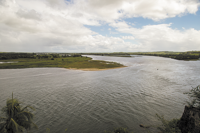
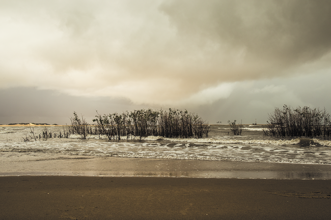
The effects of degradation are more strongly felt in the Low São Francisco, located on the border of Sergipe and Alagoas, where the Old Chico encounters the salty waters of the Atlantic Ocean. That has been a disadvantage for the river, nevertheless. With a reuced flow the river does not have the strength to stop ocean water and that has led to changes in the ecosystem at the mouth of the river. Our staff visited the location and talks about that in the video below.
More on the São Francisco River can be found in Retratos no.13.
(*) A nickname for the river.


