IBGE releases manual on quality of Cartographic Bases


December 11, 2020 10h00 AM | Last Updated: December 15, 2020 12h57 AM
The IBGE presents the Service Manual for Quality Inspection Procedures of Continuous Cartographic Bases, in order to guide the conduction of quality inspections of those bases in vector format. The idea is to guarantee quality control before, during and after cartographic production, to facilitate monitoring and to reach quality levels expected by the producer and users.
The PDF file is available here.
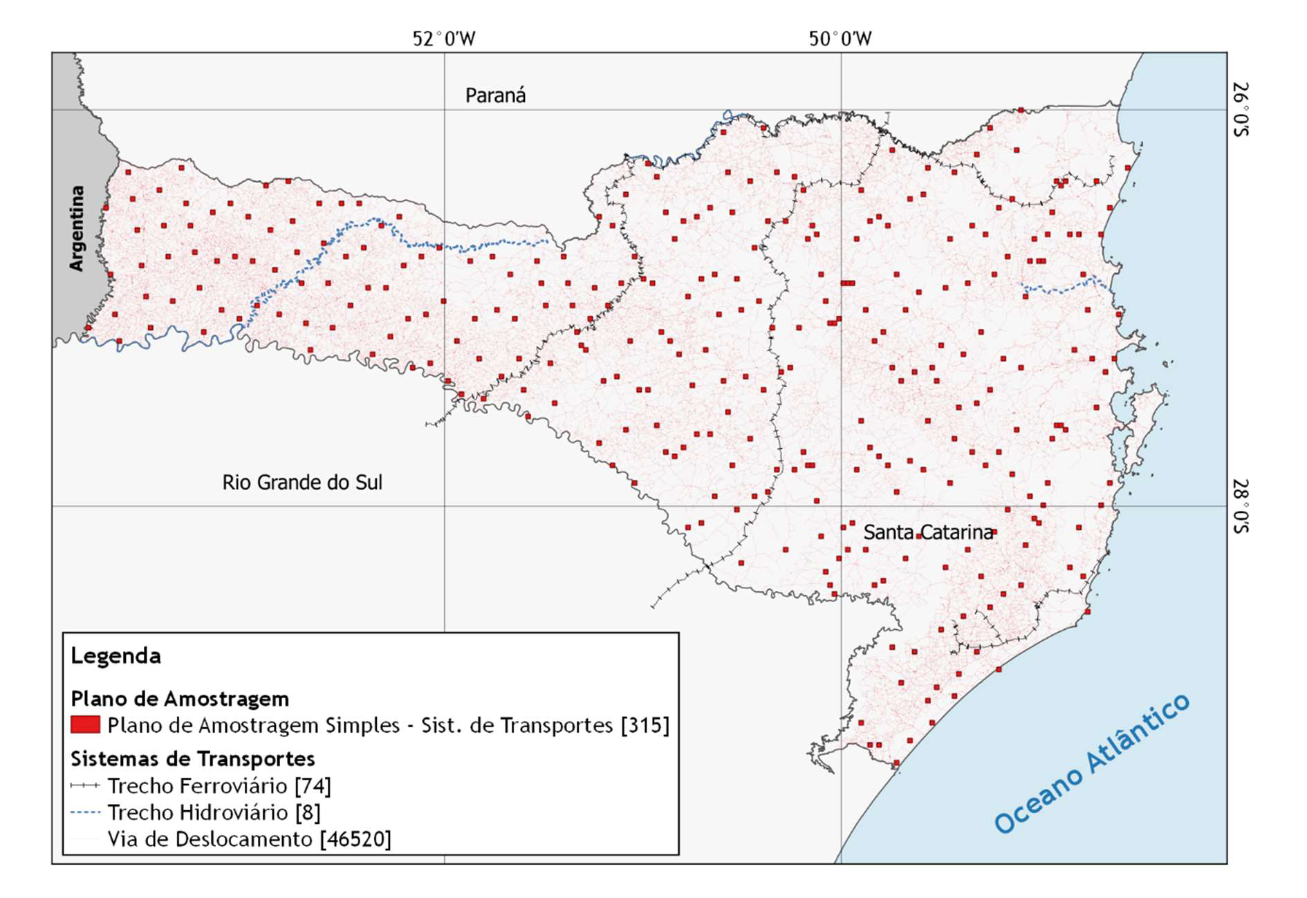
In about 180 pages, the publication deals with quality inspections of all the geospatial elements represented in different cartographic bases of the Institute, as well as its forms of inspection, elaboration of sampling plans (simple, double and multiple), analysis and understanding of compliance levels adopted and elaboration of reports of each quality inspection.
Based on the training programs conducted in the IBGE regional branches, the publication helps in the understanding and application of concepts and norms described in the Technical Geosciences Manual for Assessment of Geospatial Data Quality.
The metrics can be used in the inspection of geospatial products finished products or products being manufactured. That way, it is possible to obtain parameters to define in advance actions aiming at advance, adequacy and correction of the product throughout their life cycle and to identify quality improvements for future processes of cartographic production. The document highlights the necessity of quality inspections interactions throughout the production process, in order to keep compliance levels under control.
With proper adaptations, the manual can be used in the quality assessment of any digital or analogical spatial product, by means of free or paid software or any other available to users. By following international norms, the manual can also support training programs here and abroad, in the academic segment or in the public initiative, guiding new technicians and future professionals in the geosciences field.