IBGE releases 2019 version of the Digital National Atlas of Brazil


May 29, 2019 10h00 AM | Last Updated: May 29, 2019 03h55 PM
The IBGE released today (May 29) the updated version of the Digital National Atlas of Brazil, including the most recent data made available by the IBGE and other offices and institutions. The 2019 edition brings new versions of 19 boards of the "Society and economy" and "Geographic networks" sections. Click here to access the Atlas.
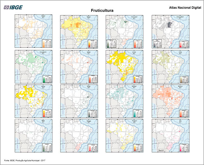
This update brings new versions of maps on Higher Education in Brazil, with information released by INEP through the 2017 Higher Education Census. Maps on the geo-economic space and the Brazilian rural space were also updated with data from the IBGE´s agricultural surveys in 2017, Gross Domestic Product of the Municipalities in 2016, General Register of Enterprises in 2016 and Survey of Stocks in the second semester of 2017.
The publication includes the information comprising the National Atlas of Brazil Milton Santos, published in 2010. The Atlas is organized around four major issues: "Brazil in the world", "Territory and environment", "Society and economy" and "Geographic networks".
In addition to the PDF versions, all the maps are also available in digital format in the Interactive Geographic Platform, in which the users can build their own maps according to their needs, as well as access all the data.
With this publication, the IBGE provides a new way to cross statistical data and geographic features, streamlining the understanding of the demographic, social, economic, environmental and cultural diversity of the Brazilian territory.
