IBGE launches continuous cartographic base of Santa Catarina state at 1:25,000 scale


October 27, 2020 10h00 AM | Last Updated: October 27, 2020 01h16 PM
The IBGE releases today (27) the Continuous Vector Cartographic Base of Santa Catarina state at the 1:25.000 scale, in which 1cm is equivalent to 250m. That is the second group of vector geospatial data launched by Project BC25, for the mapping of Federation Units at this scale. Rio de Janeiro was the first state to be fully mapped. The digital files on this base are compatible with Geographic Information Systems (SIG) and can be accessed for free here.
The publication of the Continuous Vector Cartographic Base of Santa Catarina, at the 1:25,000 (BC25_SC), provides society with digital planimetric mapping, by means of a continuous cartographic base that is compatible with precision requirements set by the National Cartographic System (SCN) and in accordance with the Brazilian National Spatial Data Infrastructure (INDE).
This base is a result of the Technical Cooperation Agreement between the IBGE and Santa Catarina State Government, which enabled the use of photo mosaics of orthorectified aerial photographs (orthophotos) of the aerial image survey conducted by the state government between 2010 and 2012, besides the Santa Catarina Geographic Information System (SIG-SC), as an input for Hydrography.
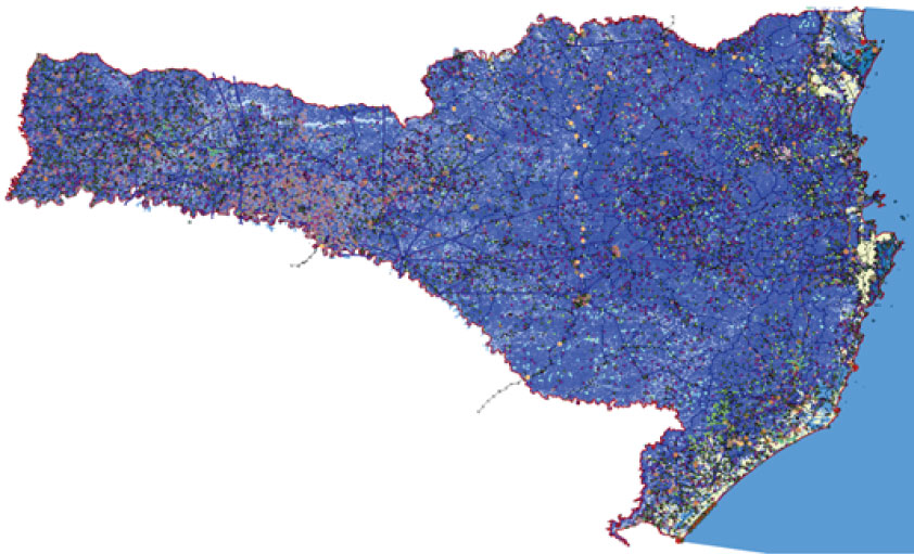
BC25_SC was based on the interpretation of orthophotos of Santa Catarina at the 1:10,000 scale (approximately), field surveys and data from partner sector agencies. The digital base is available in open format (Shape File, GeoPackage and from the PostGis database), for use in Geographic Information Systems, being even compatible with free and opensource softwares.
The main applications of this cartographic base are environmental management, with a highlight to regional planning, Conservation Units planning, delimitation of Permanent Conservation Areas (APP), studies in hydrographic basins, elaboration of basic environmental recovery projects and positioning analyses of enterprises subject to environmental licensing. Also, the cartographic base can be used for the elaboration of municipal master plans and other studies aiming at urban and rural planning.
Modeling follows the norms of the SIRGAS2000 reference system and the Technical Specifications for Structuring of Vector Geospatial Data, version 3.0 (ET-EDGV 3.0), which encompasses classes of 13 possible information categories: Energy and Communications, Hydrography, Boundaries and Localities, Relief, Transportation System, Transportation System/Airports, Transportation System/Ducts, Transportation System/Railroads, Transportation System/Waterway, Transportation System/Roads, Base Classes of Large Scale Topographic Mapping Base, Culture and Leisure and Building.
The product also presents a list of geographic names in CSV format, for visualization in GIS environments where it is possible to locate, by means of geographic coordinates, of all the geographic names forming the base, represented by points. The geographic names in the lists are associated, apart from their latitude and longitude, to the respective categories and classes of the elements represented.
For further information on the cartographic base, see the technical note available here. BC25_SC is also available on the INDE Geoportal. Metadata can be found in the IBGE metadata catalog.

