IBGE releases new edition of report on methodological review of calculation of reference heights


September 30, 2019 10h00 AM | Last Updated: September 30, 2019 03h13 PM
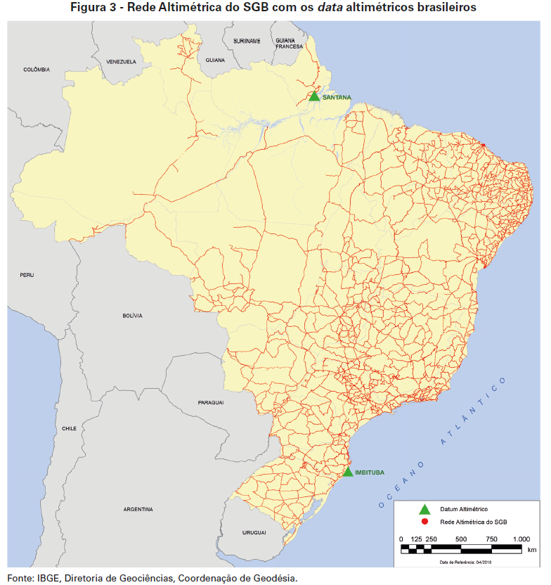
The IBGE periodically recalculates the heights of more than 70 thousand points in different localities of the Brazilian territory. These points comprise the High-Precision Altimetric Network of the Brazilian Geodetic System, which serves as the reference to the mapping of the territory, engineering activities and a number of scientific studies. With the adjustment implemented in 2018, the Brazilian altimetry aligns to the International Height Reference System.
The IBGE releases today the second edition of the calculation report of the new high-precision heights, which serve as the basis for engineering activities, mapping and scientific studies in the entire Brazilian territory. The Report of the Adjustment of the Altimetric Network with Geopotential Figures 2018 is available here.
This edition of the report complements the results presented in July 2018, including the heights of the altimetric geodetic stations which could not be calculated at that time and the comparison of the new heights in relation to the average sea level along the Brazilian shoreline.
Called "Adjustment of the Altimetric Network with Geopotential Figures" - REALT-2018, the new height calculation process of the IBGE´s geodetic milestones allowed the revision of the databases and the unprecedented integration of the information on gravity change.
Since the beginning of the measurements of geometric leveling in 1945, the IBGE periodically calculates the heights of the Level References - RRNN of the High-Precision Altimetric Network - RAAP of the Brazilian Geodetic System - SGB by means of the "least squares adjustment". These calculations incorporate new observations of geometric leveling and gravimetry, the correction of inconsistencies possibly detected in the RAAP and use of new techniques of observation and calculation.
The integration of the gravity values to the RRNN allows to obtain more precise heights, since gravity, in the terrestrial surface, changes as far as we move away from the equatorial line towards the poles. The inclusion of gravity avoids altimetric inconsistencies, helping the integration of the height networks between neighbor countries, like the study of the impacts of the rise of the average sea level in the coastal zone.
Due to the lack of gravimetric observations in the previous adjustments (2011, 1993, 1975~1959), only the correction of theoretical gravity was applied to the observed gradients, resulting in simplified orthometric heights. In REALT-2018, real values of gravity were obtained for all the RRNN of the RAAP and so were calculated the so-called normal heights, more adequate to the modern concepts and methods of Geodesy.
Started in 2015, the decision to carry out a new adjustment is due to the need to update the vertical component of the SGB, according to the resolution of the International Association of Geodesy - IAG on the International Height Reference System - IHRS/IHRF. Carried out by the IBGE and other institutions along the last decades, the improvement of the gravimetric coverage of the Brazilian territory was also important. As a result, users of the SGB will have available for the first time ever heights consistent with the global geodetic models. Get more information on the geodetic networks here.

