IBGE releases geographic reference framework for statistics


May 02, 2019 10h00 AM | Last Updated: September 27, 2021 07h02 PM
The IBGE releases today the Geographic Reference Framework for the Production, Analysis and Dissemination of Statistics, a national reference designed to relate the statistical information of the surveys to the corresponding territorial divisions. The divisions may be produced either by the IBGE or by other institutions, or even come from the legislation. Its major objective is to provide users with a coherent spatial referential to access, visualize, analyze and understand the Brazilian official statistics in a comparable and spatially integrated way. This initiative strengthens the integration between the areas of Statistics and Geosciences at the IBGE, as well as aligns the IBGE with international projects. Click here to access the complete publication.
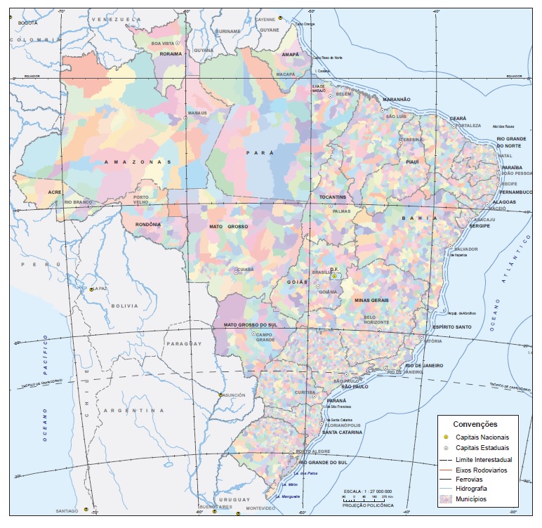
Map of the Municipalities and its relation to other divisions: Major Regions, Federation Units and Capitals
The Framework comprises two major groups: legal territorial divisions published by the IBGE and IBGE´s institutional territorial divisions. Separating the legal divisions from the institutional divisions assures that the IBGE provides information both in specific statistical areas and in important administrative areas, ensuring the confidentiality, precision and relevance of the data produced.
The legal divisions include: Major Region, State, Municipality, Metropolitan Area, Legal Amazon, Area of operation of SUDENE, Semiarid Region, Urban Area, Rural Area and Indigenous Land. On the other hand, the institutional divisions include the Enumeration Area, Address, Subnormal Agglomerate, Urban Concentration, Statistical Grid and Geographic Region.
Besides crossing statistical information and geographic divisions, it is proposed that the users understand the formation of each division, as well as recover the several versions of a certain division over time. The following basic information is presented for each division:
Updating cycle - Period in which the division is updated. It can be annual, 10-year period or seasonal. Example: Municipalities are updated every year, including possible adjustments in the borders and denominations;
Reference year of the last division released - Year in which the last update of the division was accomplished;
Amount of units of the division - Effective number of divisions generated. Example: 505 Indigenous Lands currently exist in Brazil;
Next release - Future date in which the next release of the division will be held;
Amount of related Municipalities - Number of Municipalities contained in the specific division. Example: Release areas for Subnormal Agglomerates currently occur in 87 Municipalities; and
Publication/legislation of reference - Document or legislation in which the division is based: Example: Weighting Area is documented in the Methodology of the 2010 Population Census.
The publication also comprises an annex including the situation codes and types of enumeration areas.


