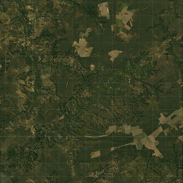
The IBGE releases today, June 30, 2017, 35 digital maps including part of the states of Piauí and Maranhão, in the 1:100,000 scale (1cm = 1km). These cartographic products are made of mosaics of satellite images, whose distortions were eliminated in order to make the image metric and free of the errors associated with their acquisition. Their files in PDF format can be accessed here.
The maps provide a view of the territory, consistent with the representation requirements of this scale, as well as the geographic elements of higher relevance. The production of maps takes less time than that of complete topographic sheets, making this information quicker available to the society. The maps were produced from images of the AVNIR-2 sensor acquired between 2009 and 2010, provided with a 10-meter spatial resolution. They comprise the Cartographic Base in the 1:100,000 scale Project (BC100) and correspond to one of the products scheduled for the Federation Units. From now on the state of Piauí has 67% of its territory depicted.