2022 Census
2022 Census: At Casa Brasil IBGE, technical team releases aggregated results by enumeration areas and enumeration routes
November 14, 2024 03h43 PM | Last Updated: November 20, 2024 10h18 PM
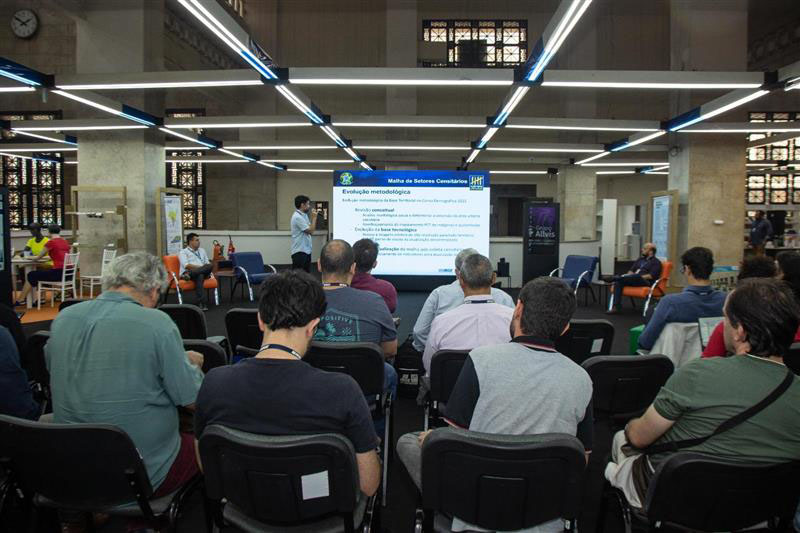
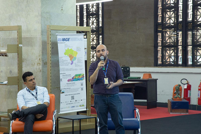
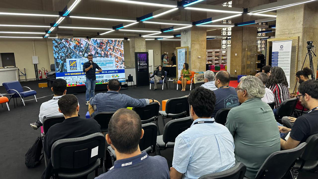
The Brazilian Institute of Geography and Statistics (IBGE) released, on Thursday, 14, data relative to the “2022 Population Census: Census Mapping: Aggregated Results by Enumeration Areas and enumeration Routes” at Casa Brasil IBGE, located at Palácio da Fazenda, downtown Rio de Janeiro (RJ). The event was attended by IBGE civil servants and streamed on pelo Digital IBGE and on the Institute’s social media. More than 800 viewers had accessed the channel within two hours of the start of the event.
Participants in the presentation were the deputy director of Geosciences, Patrícia Vida, the director of Surveys, Elizabeth Hypólito and the coordinator-general for the Population Census, Gustavo Junger. The technical teal, who presented the results, was formed by Eduardo Baptista, manager of the IBGE’s Address List, Raphael Soares, Computing Support manager of the Technical Coordination for the Population Census, and Felipe Leitão, a researcher from the Institute.
Elizabeth Hypólito explained that the surveys conducted by the IBGE are important to reach the lowest level of disaggregation, neighborhoods. “We offer a variety of information, of potentialities. The census mapping allows us to promote this rich release, including an element not yet released, the enumeration route. With these data, we complete a group of population results of the Population Census,” highlighted the director of surveys of the Institute.
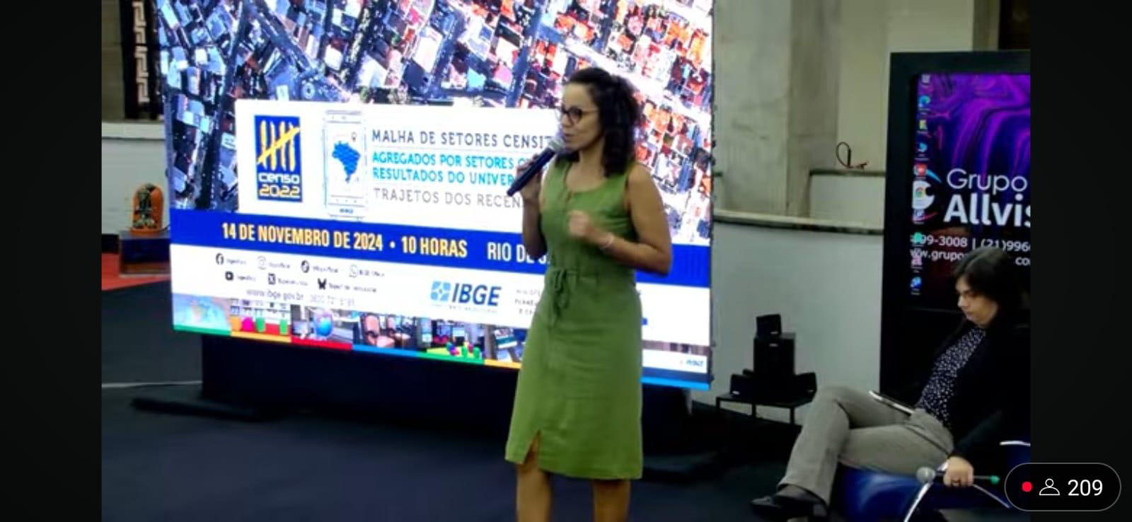
According to Patrícia Vida, the release presents a major update of data, of great relevance, of urban and rural areas. “Information allows compositions with customization of the territory, making it possible, thus enabling the analysis of specific areas of interest of users, making use of the census mapping released today. These products show the importance of knowing where an event takes place, besides knowing which event takes place,” said the deputy director of Geosciences.

Gustavo Junger, coordinator of the Population Census, evidenced the great volume of information found with demand from society. “Throughout the year, there was a series of requests and consultations about this release. The release of these results was only possible thanks to the efforts of the Institute’s civil servants to present them in due time.”
Census mapping and aggregated results by enumeration areas
Felipe Leitão opened the technical presentation with results of the mapping of enumeration areas with information about neighborhoods, status and type of enumeration areas, besides urban and rural areas for census purposes. According to these results, Brazil had 468,097 enumeration areas, spread among 5,568 municipalities. “80.09% of the Brazilian residents live in high density urban areas with buildings in cities and district headquarters. On the contrary, 9.93% of the population lives in rural areas, including clusters.”
Another important piece of information refers to the most populous neighborhoods in the country. In the ranking of 10, eight were located in Rio de Janeiro (RJ). Campo Grande is the leader with 352,356 residents, followed by Santa Cruz (249,130 residents), Jacarepaguá (217,462 residents) and Bangu (209,302 residents), all of each are located in the capital of the state. Additional information can be found here.
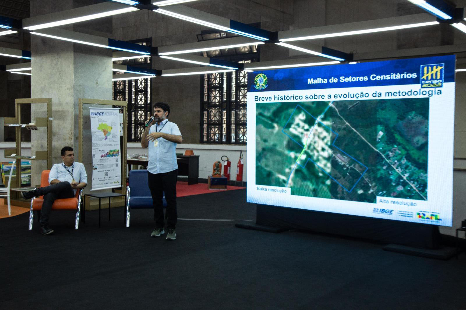
Leitão also explained the methodological evolution brought about by the 2022 Population Census. “We went through a process of concept revision, evolution of the technological basis and update of the post-enumeration census mapping. We have experienced a technological evolution in these ten years so that we were able to effect these changes,” said the analyst.
Raphael Soares presented the aggregated results by enumeration areas, Where users can combine variables such as sex, age, color or race. “There are a total of 130 files in 13 groups, each one with five files by area, neighborhood, subdistrict, district and municipality, in .csv and .xlsx files.” As examples, the manager mentioned the enumeration areas of Maracanã (RJ), Avenida Paulista (SP), Barra da Tijuca (RJ) and the neighborhood of Aldeota, in Fortaleza (CE).
Finally, Eduardo Baptista showed information on the enumeration route: “More than 13.4 million kilometers were covered, which is equivalent to 335 times the Earth’s diameter. The average route by municipality amounted to 2412 km”. The municipality with the longest route extent was the federal capital, Brasília, with 55.617 km. Among the Federation Units, Minas Gerais had the longest extent, with 461,96 thousand kilometers.
