Nossos serviços estão apresentando instabilidade no momento. Algumas informações podem não estar disponíveis.
Services
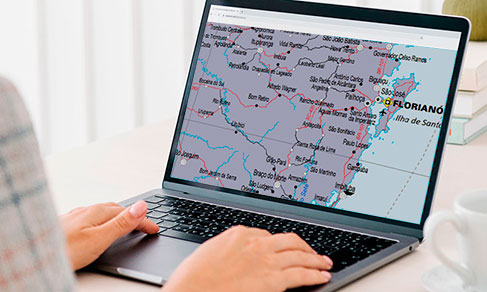
The IBGE has released today (29) ProGriD Online, an application for the transformation of coordinates between previous classic reference systems,...
Cartography
The IBGE releases today (28) the 2021 version of the Political Map of Brazil in the 1:2,500,000 scale, where 1 cm is equivalent to 25 km in the terrain....
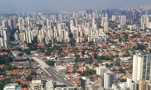
Urban spots
In 2019, Brazil had 45,945 km2 of urbanized areas, the equivalent to 0.54% of the Brazilian area. More than one third (36.5%) of the Brazilian urbanized...
Territorial divisions
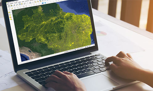
The IBGE releases today (21) the Intermediate Sectoral Mesh 2021 in digital format, including the classification of enumeration areas into either...
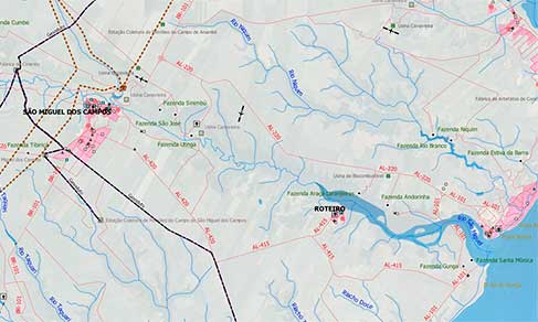
BC100 Project
The IBGE launches today the Vector Cartographic Basis for the state of Alagoas at the 1:100,000 scale, in which 1cm corresponds to 1km of land. The...
Nós utilizamos cookies para melhorar sua experiência de navegação no portal. Para saber mais sobre como tratamos os dados pessoais, consulte nossa Política de Privacidade.