On land and in the sea
IBGE releases time series for geodetic networks and opens four monitoring stations


December 16, 2022 10h00 AM | Last Updated: December 17, 2022 03h06 AM
Highlights
- Time series for the Permanent Geodetic Tide Gauge Network (RMPG) has been updated with information of the period January – December 2021.
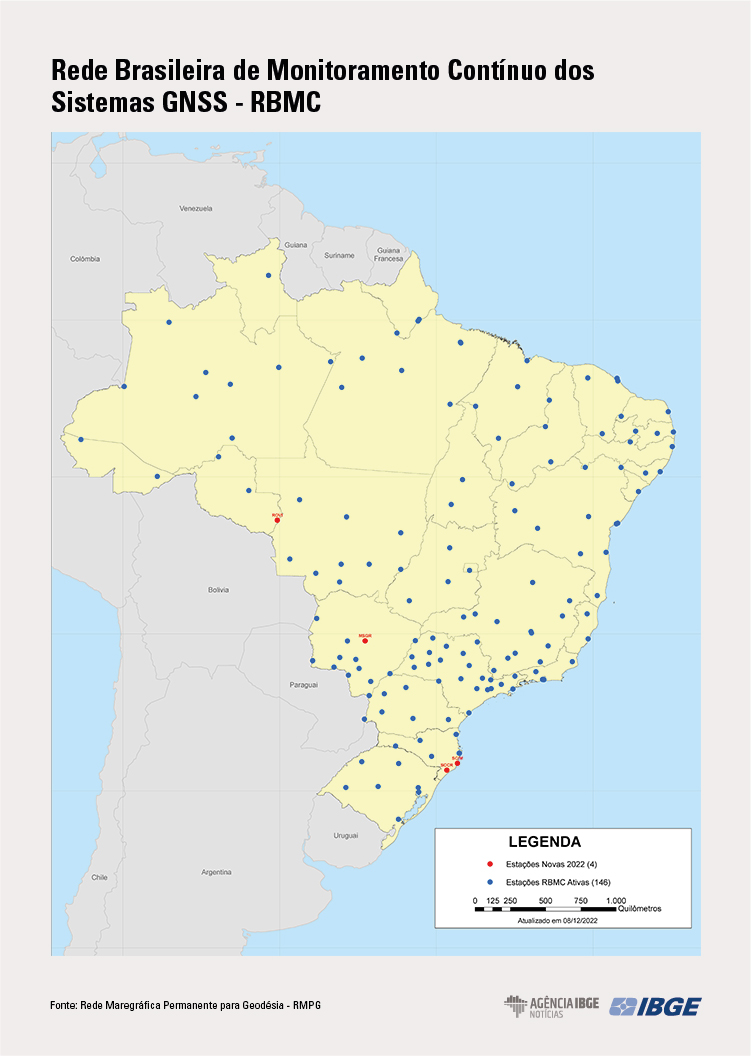
- Four new stations integrated to the Brazilian Network for Continuous Monitoring (RBMC) of GNSS Systems were inaugurated today in Vilhena (RO), Campo Grande (MS), Imbituba (SC), and Criciúma (SC).
- Geodetic networks maintained by the IBGE help in studies that range between georeferencing for precision agriculture and tsunami detection.
The IBGE inaugurates today (16) four new stations of the Brazilian Network for Continuous Monitoring (RBMC) and of GNSS systems for precision georeferencing. They are located in the municipalities of Vilhena (RO), Campo Grande (MS), Imbituba (SC) and Criciúma (SC). The time series update for the Permanent Geodetic Tide Gauge Network (RMPG), for the period January-December 2021, and of RBMC stations for the period January-December 2022 was also released.
The operation and the maintenance of stations in both networks (RBMC and RMPG) are duties of the IBGE in partnership with public institutions and universities.
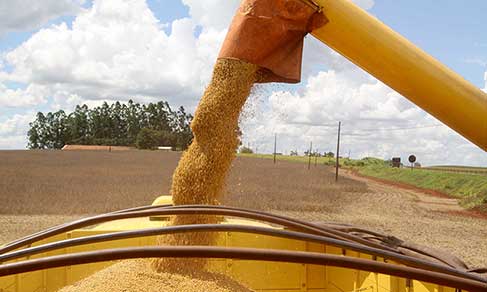
RBMC currently has 146 stations all over the country, most of them equipped with GNSS receivers, which can track signals transmitted by satellites of the American navigation system (GPS) and by the Russian one (GLONASS). Being daily made available on the IBGE website, GNSS data are public and free, and are used in many georeferencing activities, such as: demarcation of urban and rural properties; precision agriculture; scientific surveys on disturbances observed in the atmosphere and affect the propagation of electromagnetic waves; and studies on sea level variation on the coast.
Another service provided by RBMC is real time georeferencing by means of mobile telephony, which results in coordinate precision at centimeter level, since the user is working up to 30km far from the network station.
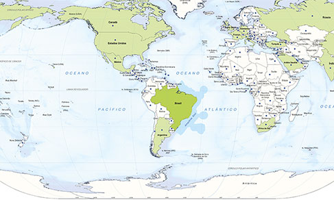
All RBMC stations are part of the SIRGAS (Geocentric Reference System for the Americas) Regional Reference Network, a result of the cooperation between American countries that make available data from their continued-operation GNSS stations, which is one of the most precise geodetic networks in the world. By means of weekly processing of these data it is possible to monitor, in a continuous way, changes in the coordinates of stations, by identifying possible movements observed locally or regionally, such as the continuous movement of tectonic plates of in the case of earthquakes.
Another phenomenon monitored in the weekly processing is altitude variation resulting from the water cargo in the Amazon area. These movements or changes are represented by means of coordinate time series..
Time series for the Permanent Geodetic Tide Gauge Network
The IBGE also presents the update for the time series of the Permanent Geodetic Tide Gauge Network (RMPG), in the period January-December 2021, once, in the end of 2021, time series for the period July 2001 – December 2020 were published. The update took place in accordance with the criteria adopted in the report “Monitoring of the change in the average Sea Level in the Stations of the Permanent Geodetic Tide Gauge Network – RMPG 2001–2020”.
The single series for each station is generated by daily data made available by the IBGE, after the corrections in the reference height of sensors. Formed by a group of six stations installed and operated by the IBGE, RMPG monitors the relationship between the vertical datum (official reference surface formed by the average sea level in these locations and periods) and other tide gauge levels of reference used in nautical cartography and coastal engineering. These data add to studies about the modernization of Brazilian altitudes and the change of and the change in average sea level.
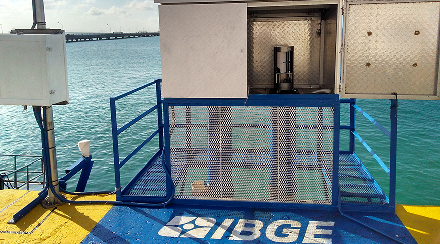
Tide gauge stations are located in the municipalities of Arraial do Cabo (RJ), Imbituba (SC), Salvador (BA), Fortaleza (CE), Belém (PA) and Santana (AP). “It was considering this equipment that we detected, on the Brazilian coast, anomalies caused by the tsunami in Tonga, in the Pacific Ocean,” says the IBGE manager of Vertical Networks, Salomão Soares, as he refers to the phenomenon registered in January 2022.
Information produced by the RMPG i useful for several applications, such as reduction of drilling for conservation and expansion of the capacity of ports and navigable routes, implementation of infrastructure (ports, roads, water and sewage networks) in coastal areas and study of possible measures and mitigation of impacts of global sea level rise.
In international terms, the network contributes to the global Program for Observation at Sea Level and for the Tsunami Alert Program in the Caribbean, of the Unesco Intergovernmental Oceanographic Commission, which had significant lack of information in the South Atlantic.