Mapa de biomas
20 times more detailed map shows Biomes and Coastal-Marine System


October 30, 2019 10h00 AM | Last Updated: October 30, 2019 11h57 AM
The IBGE launches today, 30, the Map of Biomes and Coastal-Marine System of Brazil in the 1:250,000 scale – 20 times more detailed than the previous edition, published in 2004.
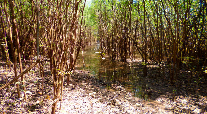
The map shows the sets of plant and animal life, comprising the groups of vegetation types. The study also presents, for the first time ever, the Coastal-Marine System, which encompasses the Brazilian shoreline, including, for instance, mangrove areas, dunes and beaches.
According to Luciana Mara Temponi de Oliveira, IBGE´s coordinator of Natural Resources and Environment, the introduction of this system in the map is a kick-off for future studies: "There is a huge lack of information about the marine diversity, there are not many studies in this area".
From the 1:250,000 scale onwards, it became possible to notice significant differences of boundaries among the Brazilian geographic spaces. For Oliveira, such advance means more transparency in the application of rules of environmental protection:
"We receive a lot of consultations in relation to which biome does a certain place belong to. Whether the place is in the Amazon or in the Cerrado, there will be differences in the preservation area or how much deforestation will be allowed. And the environmental laws are made using such type of map".
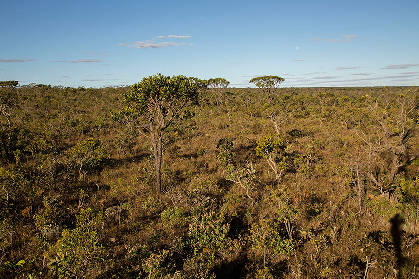
Cerrado: present in every region
According to the map, the Amazon remains the most extensive biome in Brazil, occupying nearly 49.5% of the territory. On the other hand, the Cerrado occupies 23.3% of the Brazilian territory and it is the only biome present in every Brazilian region.
While the Atlantic Forest occupies 13% of Brazil, Caatinga (10.1%), Pampa (2.3%) and Pantanal (1.8%) complete the list of the national biomes. The continental portion of the Coastal-Marine System occupies 1.7% of the territory and it overlaps other biomes.
As the mapping technology advances fastly, the next step in the near future, according to Oliveira, is to outline a map of primary vegetation and refine even more the boundaries with updates of the Map of Biomes and Coastal-Marine System of Brazil.
"We are open to this possibility. And we are looking forward to the feedback of the scientific community of what is good and what should be improved. We are open to criticisms and suggestions", completes her.