IBGE in the field
Institute kicks off project to update maps of Brazilian biomes


April 06, 2018 09h00 AM | Last Updated: July 03, 2018 03h54 PM
This week, the IBGE is on the field to update Brazilian biome mapping, focusing on the contact areas. The project aims at the creation of a biome map on the cartographic scale of 1:250,000 (1cm = 50km). Brazil has six biomes: the Amazon, the Cerrado, the Atlantic Forest, the Caatinga, the Pampa and the Pantanal.
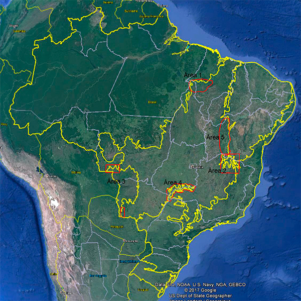
The project will be on the field for five months, crsossing distances ranging from 2.000 km in the Atlantic Forest (contact areas between the Cerrado and the Forest), in Goiás, to 5.000 km in the Mata Seca (where the Cerrado mixes with the Caatinga), in Bahia. There are challenges, such as the Tricontato (three biomes in contact), an area in Minas Gerais near the Bahia's border, where the limits of the Cerrado, Caatinga and Atlantic Forest face one another.
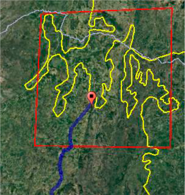
This month, the team will be in the Pantanal. “Although it has a vegetation typical of the Caatinga, Cerrado and Atlantic Forest, the Pantanal Biome presents more precise borders, defined by the areas susceptible to floodings”, explains the manager of the IBGE's Natural Resource Mapping, Therence de Sarti. And he adds: “the limits between the other biomes present transition areas whose vegetation shares characteristics in common”.
The project ends in August. Until then, the team will be posting photos and videos on the IBGE social media: Facebook, Instagram and Twitter.