Maps of natural resources guide environmental and infrastructure projects


December 04, 2017 10h00 AM | Last Updated: December 04, 2017 03h13 PM
The Surveying of Natural Resources released today by the IBGE is not only a cartographic representation of the relief, vegetation, soil and subsoil of the entire Brazilian territory, but also a tool for a number of environmental studies, including the possibility of crossing data. The publication comprises four maps in the 1:250,000 scale, one for each theme.
An example of the use of such data is the environmental impact statement of a construction or of an agricultural crop. Having known the local soil, vegetation and relief, researchers can endorse certain types of construction, plantation or even maintain the native forest, in order to avoid side effects, like, for example, changing the flow of a river.
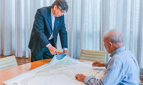
"The integration of different information allows us to point out, for example, the susceptibility of landslides in a particular place or the drainage capacity of a soil. We are able to model the geology of urban centers, in order to pinpoint the best areas for civil construction. We can predict the best sources of materials, ores...", explains Luciana Temponi, manager of data processing and organization.
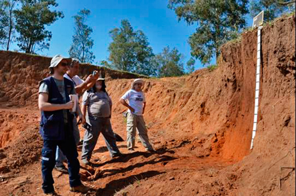
Pedological survey pinpointing a Red-Yellow Latosol profile
After 19 years, the work was concluded in 2017 and released this Monday. The mapping dates back to the RadamBrasil project, started by the Military Regime in 1970. The methodology and knowledge from that time were essential to the current surveying, as well as the incorporation of the old technical staff by the IBGE in 1985.
"We are concluding the mapping right now, yet all the initial base comes from the RadamBrasil. We started from the same base", explains Luciana. An important deployment of the project is the digital database including all the survey data, which will be incorporated onto the IBGE website in the first semester of 2018.
This is the first survey representing Brazil, in the 1:250,000 scale, along the four themes, in a continuous way. For example, this scale is able to show a metropolitan area. A few countries in the world have detailed until such level and, among them, no country has a territory as wide as ours.
Text: Rodrigo Paradella
Images: Sérgio Shimizu and Sebastião Souza Silva