[Retratos] Mapping of natural resources: layers of information


January 25, 2018 09h00 AM | Last Updated: January 25, 2018 10h12 AM
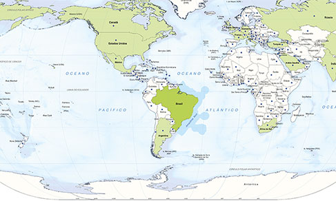
The IBGE mapping activities are part of the Institute’s attempt to better understand the territory and its natural resources. There is still a lot to learn and systematize on the subject so that policies for sustainable exploitation and protection of these resources can be designed. In this issue of the Retratos Magazine, we present a set of maps released by the IBGE with information on vegetation, geomorphology (relief), pedology (soils) and geology (rocks).
Click here, to download the infographic poster.