IBGE releases new volume of the Surveying of Natural Resources series


April 29, 2024 10h00 AM | Last Updated: April 29, 2024 04h25 PM

This Monday (29), the IBGE releases volume 36 of the Surveying of Natural Resources, from the RADAMBRASIL project. This new volume, entitled "Folha SC.23 Rio São Francisco", covers an area of approximately 300 thousand km², comprising part of the states of Bahia, Tocantins, Maranhão and Piauí. These areas were surveyed in the mid-1980s.
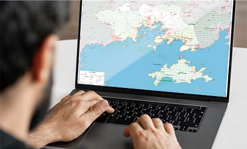
Volume 36 presents the digitization of physical materials produced in the mid-1980s, thus allowing them to be made available to an even wider audience. The new volume brings technical reports and maps at a scale of 1:1,000,000 on the topics of geology, water resources, geomorphology, relief assessment, pedology, vegetation and potential land use.
José Marcos Moser, from IBGE's Environment and Geography Management, defines the series as “a historical mapping, which portrays the time in which the survey was carried out, in the mid-1980s. This material has great potential as it has a unique content in Brazil, which covers the entire country with the same methodology and the same images”.
Mr. Moser also explained the process of digitizing the material, carried out from volume 35 onwards. “Until volume 34, this material was produced in an analogue way, that is, printed on paper. From volume 35 onwards, we started with digitization, to make it available on the internet. Within the text, there are pictures and photographs, previously made on slides and now scanned. From then on, the IBGE included RADAM in the Memory Project and it was renamed as RADAMBRASIL Memory”, explained Mr. Moser.
The project is a pioneer in the use of radar images to interpret geology, geomorphology, pedology (soils), vegetation and potential land use for the entire Brazilian territory, serving as a basis for analyses, diagnoses and other studies that involve understanding the natural environment in the country.
More about RADAM
The RADAM project – Radar in the Amazon – was created in 1970, prioritizing the collection of data on mineral resources, soils, vegetation, land use and cartography of the Amazon and adjacent areas of the Northeast Region. In 1975, the survey was expanded to the rest of the national territory, aiming at the integrated mapping of natural resources and became known as the RADAMBRASIL Project.